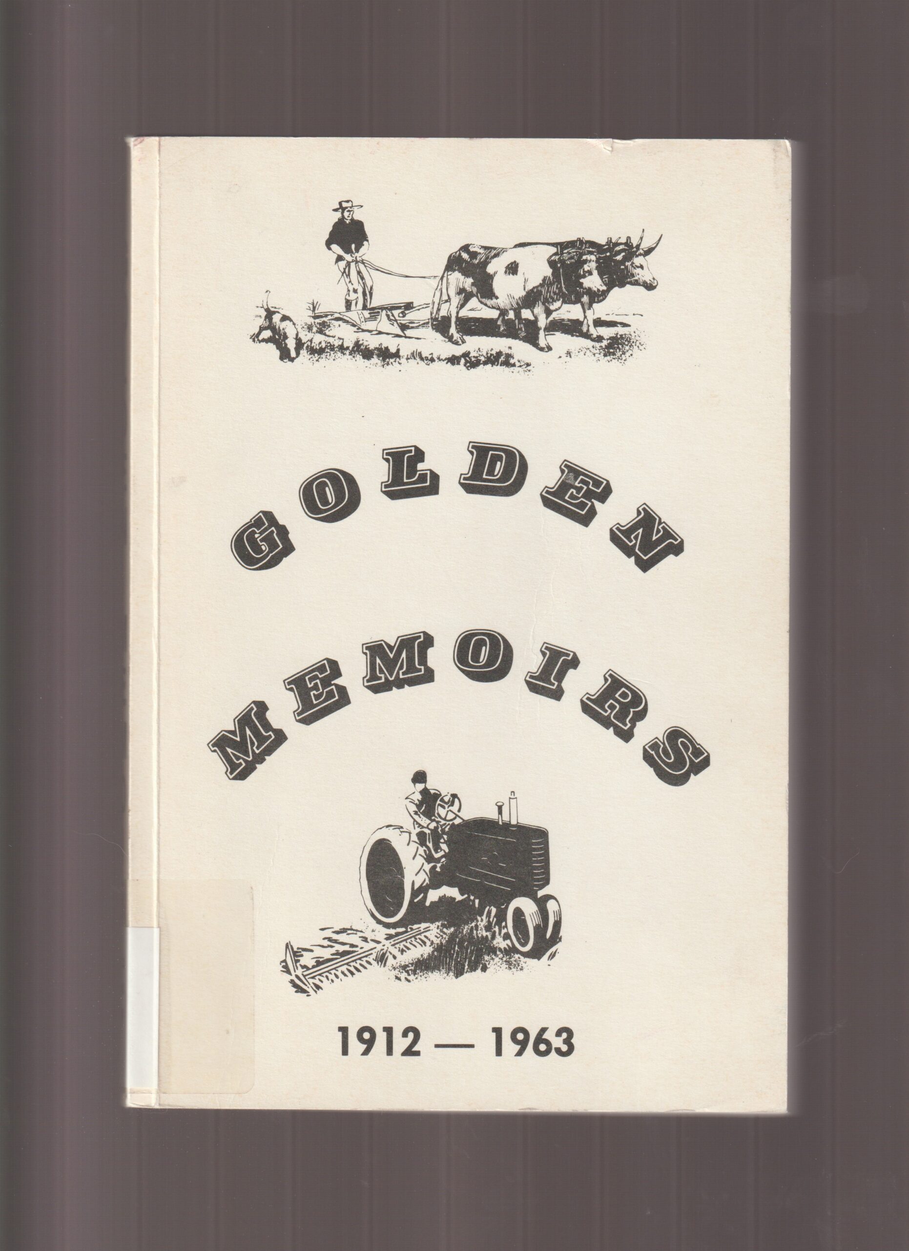
Golden Memoirs 1912-1963
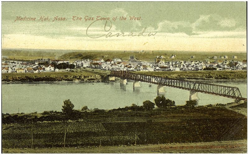
The City of Medicine Hat, affectionately referred to as “The Hat”, is situated in South East Alberta along the South Saskatchewan River. Medicine Hat is located approximately 170 km east of Lethbridge and 300 km southeast of Calgary. The city is located within Cypress County, a region known for its vast prairies, rolling hills, and stunning landscapes.
Medicine Hat started in 1883 as a railway town. It was incorporated as a village in 1894, a town in 1898, and finally as a city on May 9, 1906. By 1905, when Alberta was incorporated as a province, Medicine Hat was the largest community in southeastern Alberta.
Medicine Hat’s unique name is believed to have originated from the indigenous word “Saamis”, which refers to the hat or headdress worn by medicine men.
The Hat is renowned for its sunny weather, earning it the nickname “The Sun City”. It boasts over 2,500 hours of sunshine per year, making it one of the sunniest cities in Canada. This abundance of sunshine is complemented by the city’s natural gas reserves, leading to another nickname, “The Gas City”. The residents were using natural gas as an inexpensive source of energy. The city’s natural gas reserves were so vast that Rudyard Kipling once referred to the city as having “all hell for a basement”.
The city is home to the World’s Tallest Teepee, the Saamis Tepee, a tribute to Canada’s native heritage. The Medicine Hat Clay Industries National Historic District offers a glimpse into the city’s rich industrial past. A vibrant arts scene is evident in its numerous galleries and theaters. The Esplanade Arts & Heritage Centre is a hub for visual and performing arts, while the Medicine Hat College offers a range of educational programs. Medicine Hat is a city that beautifully blends history, culture, and natural beauty.
Address
Community: Medicine Hat
Province: Alberta
Map Location
Latitude, Longitude
50.029096, -110.693104
Map Location
| Surname | Given Name | Book Title | Call No. | Page No. |
|---|---|---|---|---|

