Silver Sage
Bow Island 1900-1920
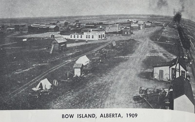
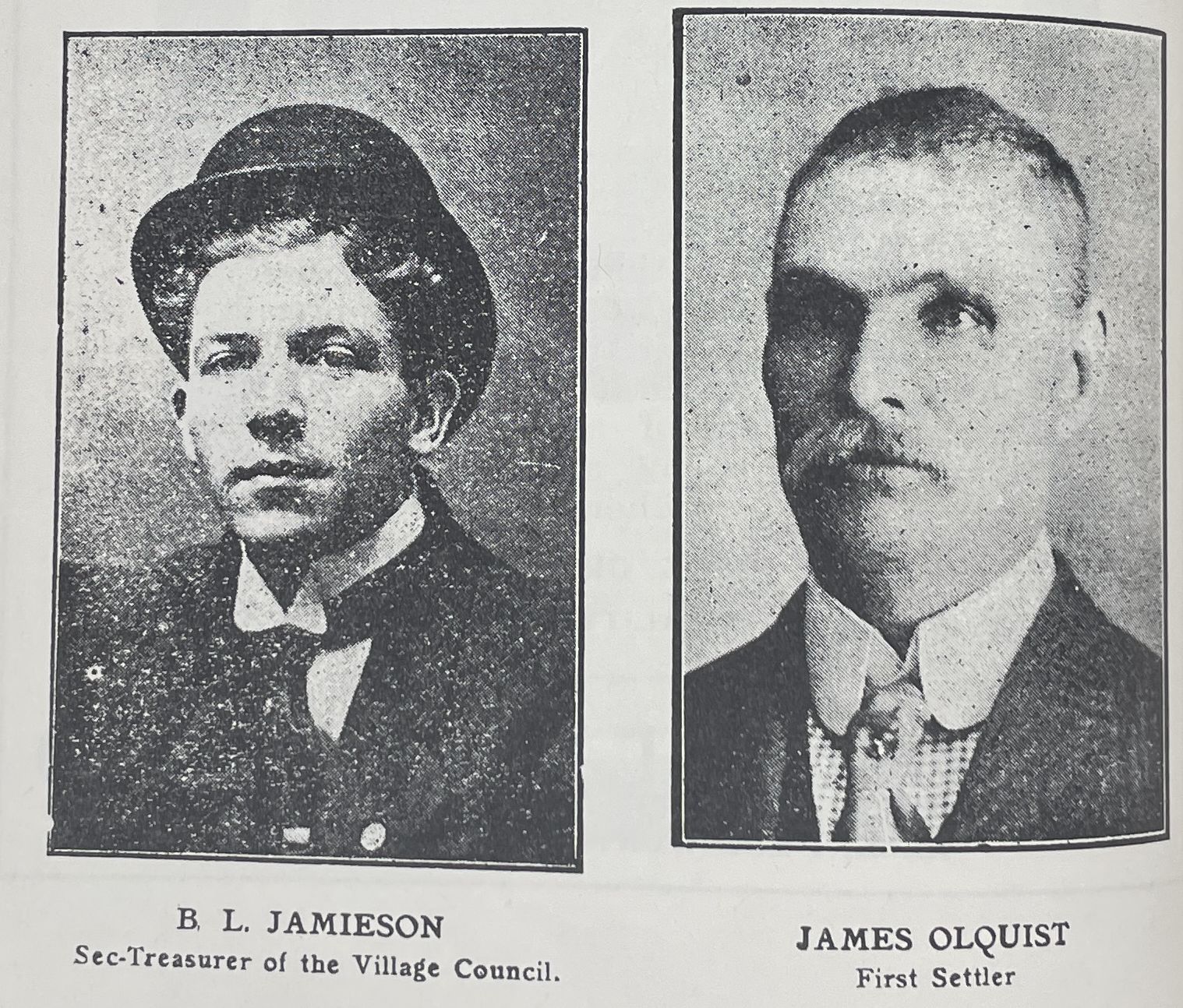
The community of Bow Island welcomed its first post-colonial families in 1900. By February 1910, the Village of Bow Island was established, and by March 1912, it was declared the Town of Bow Island.
The naming of Bow Island is an interesting tale. The most popular story suggests a mix-up between the names of the communities of Grassy Lake, about 25 km to the west, and Bow Island. An island named “Bow Island” is located north of Grassy Lake near the confluence of the Bow River and the Oldman River, while a low depressional area named “Grassy Lake” is located south of Bow Island.
Bow Island was one of the first towns in Alberta to have natural gas wells and operated them until the franchise was sold to a private company. The town suffered through the depression years as did all the communities in Western Canada. However, in the early 1950s, irrigation was extended to the Bow Island area, leading to a doubling in population.
Today, Bow Island is surrounded by 110,000 acres of highly productive lands. Some of the most modern irrigation systems in the world are located in the area. The town has become a vibrant agricultural community with many agri-processing industries located here.
Bow Island is well known for the dry edible bean industry. An 18-foot high statue of the mascot, “Pinto MacBean”, greets everyone coming into town. This symbolizes the town’s strong connection to its agricultural roots and its forward-looking approach to growth and development. Bow Island, with its rich history and thriving present, continues to be a beacon of agricultural innovation in Alberta.
Address
Community: Bow Island
Province: Alberta
Map Location
Latitude, Longitude
49.867468, -111.378988
Map Location
| Surname | Given Name | Book Title | Call No. | Page No. |
|---|---|---|---|---|

