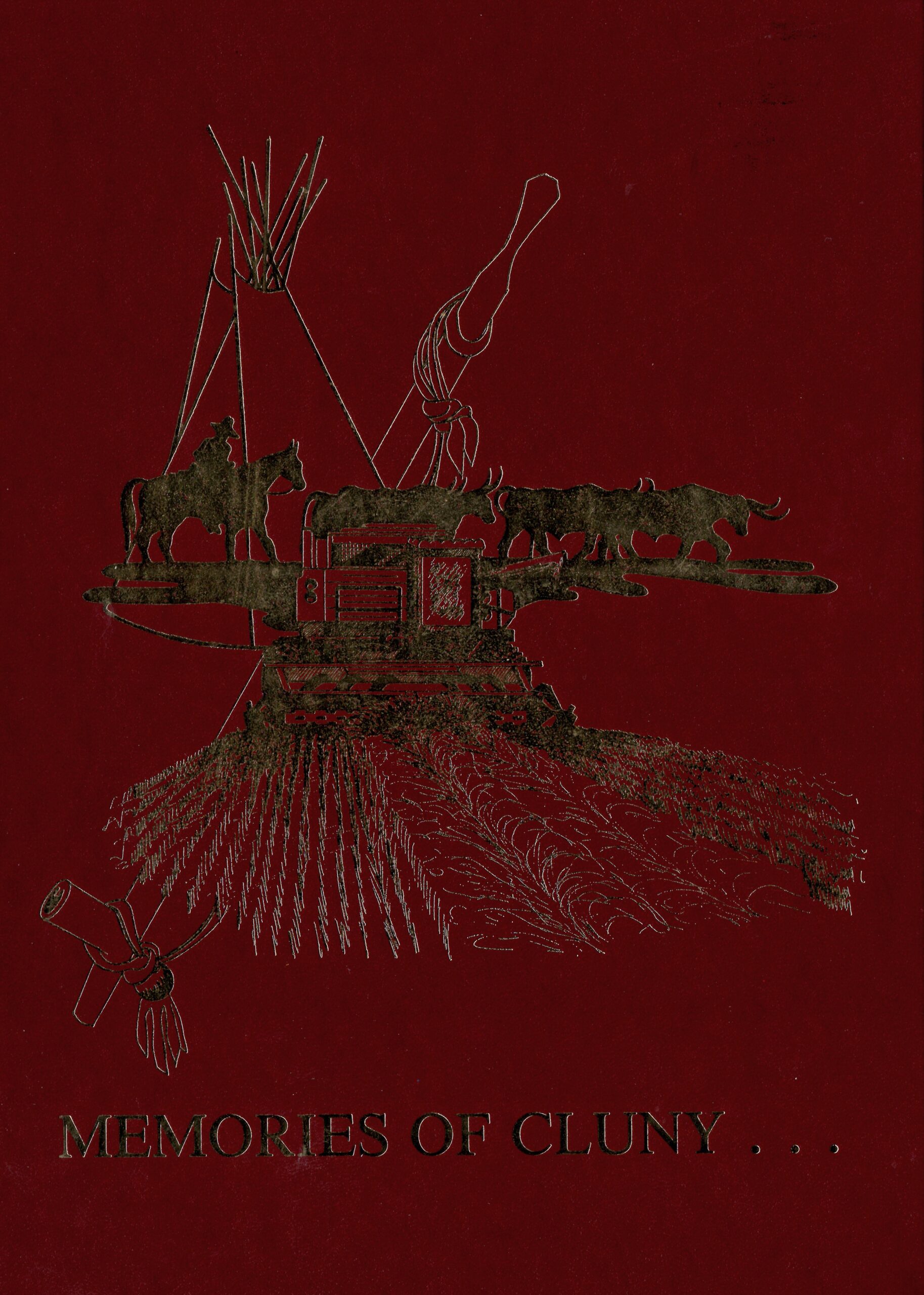
Memories of Cluny
A story of Cluny and the surrounding districts 1865-1985
Cluny is a hamlet in Alberta, Canada, located within Wheatland County. It is situated approximately 90 kilometers southeast of Calgary. The hamlet takes its name from the Parish of Cluny in Scotland. More than a century ago, Cluny’s population was mainly made up of French immigrants, Aboriginal people, and two Chinese families. This diverse mix of cultures has contributed to the rich history and unique character of the hamlet.
One of the significant historical landmarks in Cluny is the Cluny archaeological site, located along the north bank of the Bow River. This site consists of a semicircular earth trench about 1 meter deep and 2 to 2.5 meters wide, enclosing an area that is 129 meters long by 90 meters wide. The trench, palisade, and pit structures were probably made to fortify a small native village where people lived in skin tipis.
The site was apparently constructed and used around the 1740s, by a group who made a distinctive style of pottery. These people also had horses and a few European items. The evidence for horses at Cluny is the earliest there is for this area of the plains. The village at Cluny is similar to earth lodge villages found along the Missouri River in what is now North and South Dakota.
Address
Community: Cluny
Province: Alberta
Map Location
Latitude, Longitude
50.836642, -112.290540
Map Location
| Surname | Given Name | Book Title | Call No. | Page No. |
|---|---|---|---|---|

