(No Information Available)

Courtesy of Medicine Hat and District Genealogical Society (MHDGS)

Deaths

Longevity

Address

Township Road 91 and Range Road 91
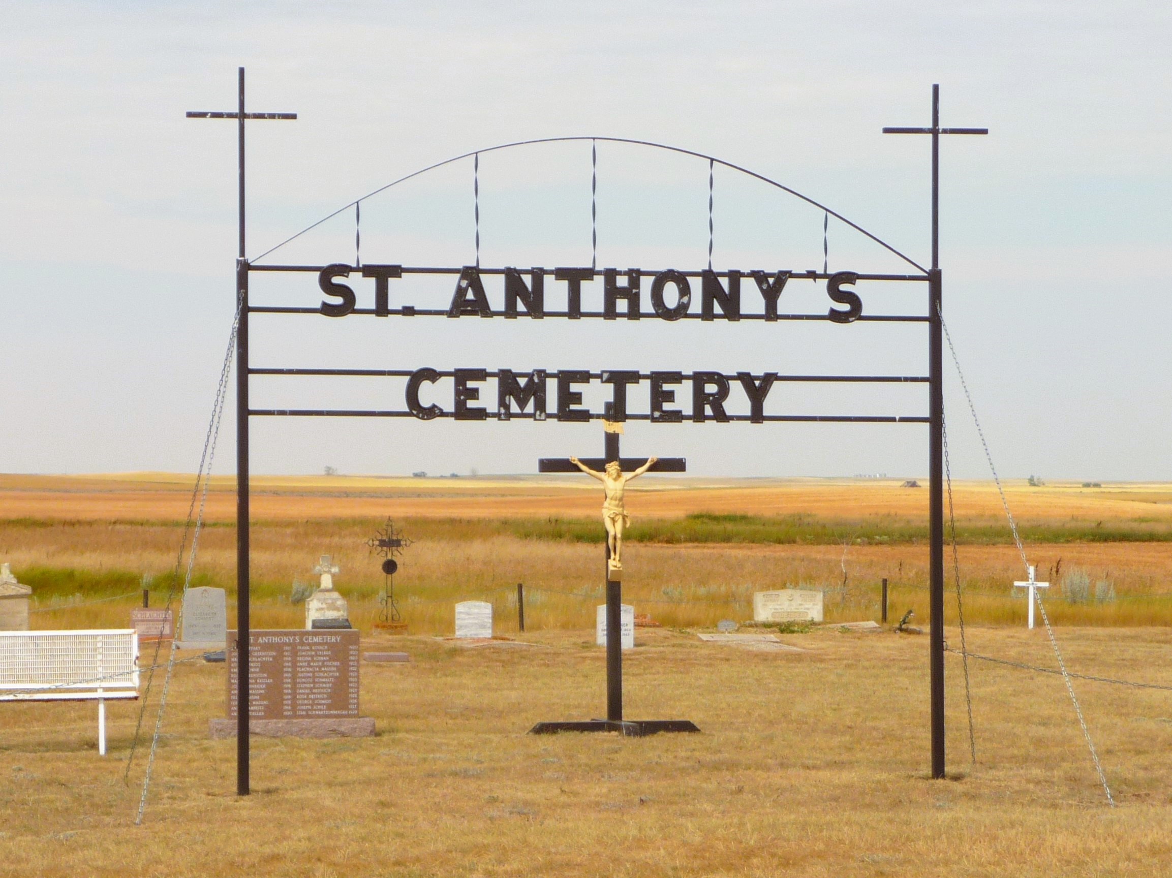
Nearest Populated Centre: Maleb,
Province: Alberta

Map Location

Latitude, Longitude
49.70723, -111.11426

Map Location

Search for:
RESET
Surname Given Name Born Died Age Photo(s) Cemetery Obituary Narrative R Code

The 25 most common surnames found in this cemetery.

loader

The 25 most common given names found in this cemetery.

loader

Other Cemeteries

St. Cecilia's Cemetery (Nanton, MD of Willow Creek)

Range Rd 282, north of Hwy 533 , Nanton , Alberta

Gaetz Cemetery (Clearwater County)

Range Road 41 S of Township Road 380 , Condor , Alberta

St. Joseph's Cemetery (Schuler, Cypress County)

Twp Rd 162 and Rge Rd 13 , Schuler , Alberta

Pendant D'Oreille Cemetery (Forty Mile County)

Township Rd 33 and Range Road 73 , Orion , Alberta

Sacred Heart Cemetery (Faith, Forty Mile County)

Township Road 41 and Range Road 100 , Nemiskam , Alberta

Crossfield Cemetery (Rocky View County)

10063 Township Rd 285 , Crossfield , Alberta

Pakowki Cemetery (Forty Mile County)

Township Road 52 and Range Road 73 , Orion , Alberta

Hill Spring Cemetery (Cardston County)

Township Rd 43A , Hill Spring , Alberta

Spring Coulee Cemetery (Cardston County)

Range Road 234 N of Spring Coulee , Spring Coulee , Alberta

Discover Alberta Ancestors