(No Information Available)

Courtesy of Medicine Hat and District Genealogical Society (MHDGS)

Deaths

Longevity

Address

Township Road 91 and Range Road 91
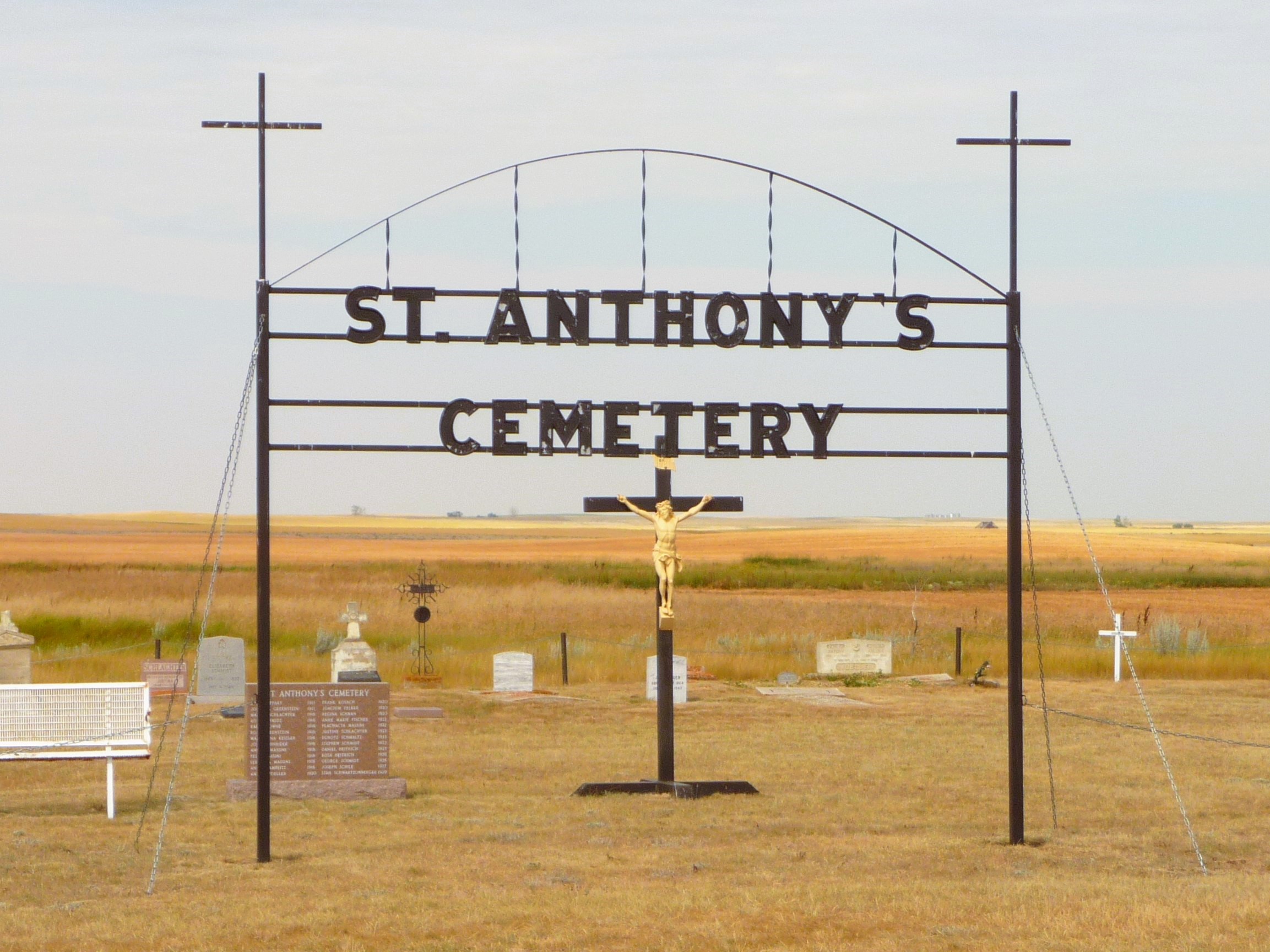
Nearest Populated Centre: Maleb,
Province: Alberta

Map Location

Latitude, Longitude
49.70723, -111.11426

Map Location

Search for:
RESET
Surname Given Name Born Died Age Photo(s) Cemetery Obituary Narrative R Code

The 25 most common surnames found in this cemetery.

loader

The 25 most common given names found in this cemetery.

loader

Other Cemeteries

Old Monarch Cemetery (Lethbridge County)

Range Rd 235 South of Hwy 3A , Monarch , Alberta

Enchant Cemetery (MD of Taber)

142044 Range Road 185 , Enchant , Alberta

Stockburger Cemetery (Cypress County)

Township Road 190 and Range Road 20 , Hilda , Alberta

Cavanaugh Family Cemetery (Cypress County)

Twp Rd 202 & Rge Rd 12 , Sandy Point , Alberta

Chinook Cemetery (Special Area No. 3)

Range Road 74 and Township Road 290 , Chinook (NW of Cereal) , Alberta

Cessford Cemetery (Special Area No. 2)

Highway 561 E of Highway 876 , Cessford , Alberta

Hussar Cemetery (Wheatland County)

Highway 561 (east of Hussar) , Hussar , Alberta

Hoadley Cemetery (Ponoka County)

Highway 611 E of Highway 20 , Red Deer , Alberta

Iola Fairview Cemetery (Ponoka County)

Township Road 440 W of Range Road 34 , Bluffton , Alberta

Lomond Cemetery

Highway 531 & Range Road 202 , Lomond , Alberta

Discover Alberta Ancestors