Benalto is a hamlet south of Highway 11, approximately 30 kilometers west of Red Deer. John T. Moore (1844-1917), the politician and raiway promoter behind the Alberta Central Railway – built west from Red Deer in 1910 – named the townsites of Alhambra and Benalto on that line. This hybrid description means “high hill” from the Gaelic ben (“hill”) and Latin alto (“high”).

Deaths

Longevity

Address

Range Road 25 S of Township Road 385
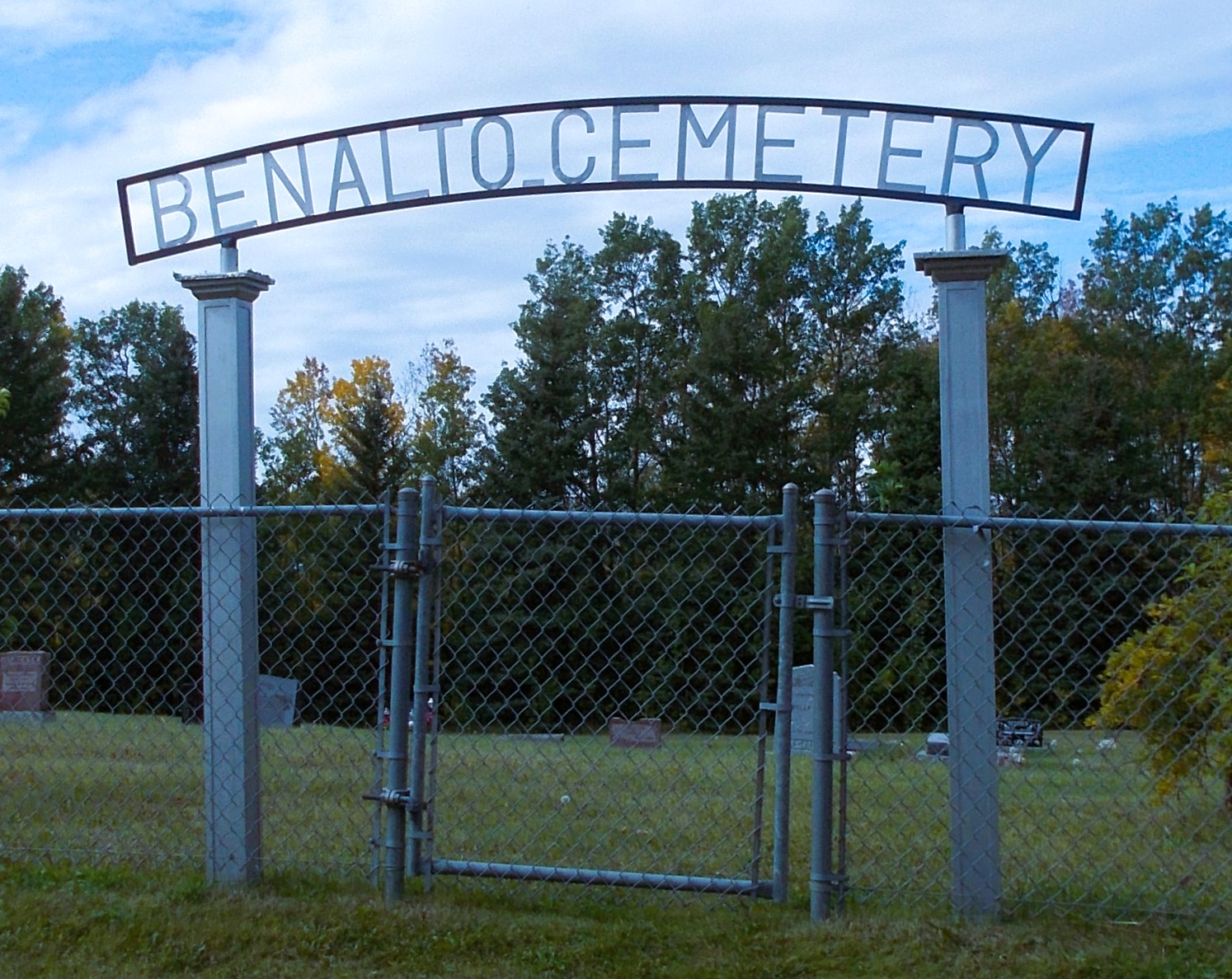
Nearest Populated Centre: Benalto,
Province: Alberta

Map Location

Latitude, Longitude
52.29779, -114.26391

Map Location

Search for:
RESET
Surname Given Name Born Died Age Photos Cemetery R Code

The 25 most common surnames found in this cemetery.

loader

The 25 most common given names found in this cemetery.

loader

Other Cemeteries

Blackie Cemetery (Foothills County)

490001 Hwy 799 , Blackie , Alberta

Chancellor Cemetery (Wheatland County)

S of AB 561E on Twp Rd 245A , Chancellor , Alberta

Hoadley Cemetery (Ponoka County)

Highway 611 E of Highway 20 , Red Deer , Alberta

Dalum Lutheran Church Cemetery (Wheatland County)

194002 Highway 69 , Dalum , Alberta

St. Anne's Cemetery (Josephburg, Cypress County)

East of Range Road 30, south of Township Road 94 , Josephburg , Alberta

Seventh Day Adventist Cemetery (Cypress County)

Twp Rd 103 & Rge Rd 22 , Irvine , Alberta

Waterton Cemetery (Waterton Lakes National Park)

Highway 5, Waterton Park , Waterton , Alberta

Russian Colony Cemetery (Ponoka County)

Highway 771 & Township Road 443 , Homeglen (or Home Glen) , Alberta

Peace Lutheran Cemetery (Cypress County)

Twp Rd 162 and Rge Rd 14 , Schuler , Alberta

Reist Mennonite Cemetery (Special Area No. 2)

Rge Rd 100a, Special Area No. 2 , N of Youngstown , Alberta

Discover Alberta Ancestors