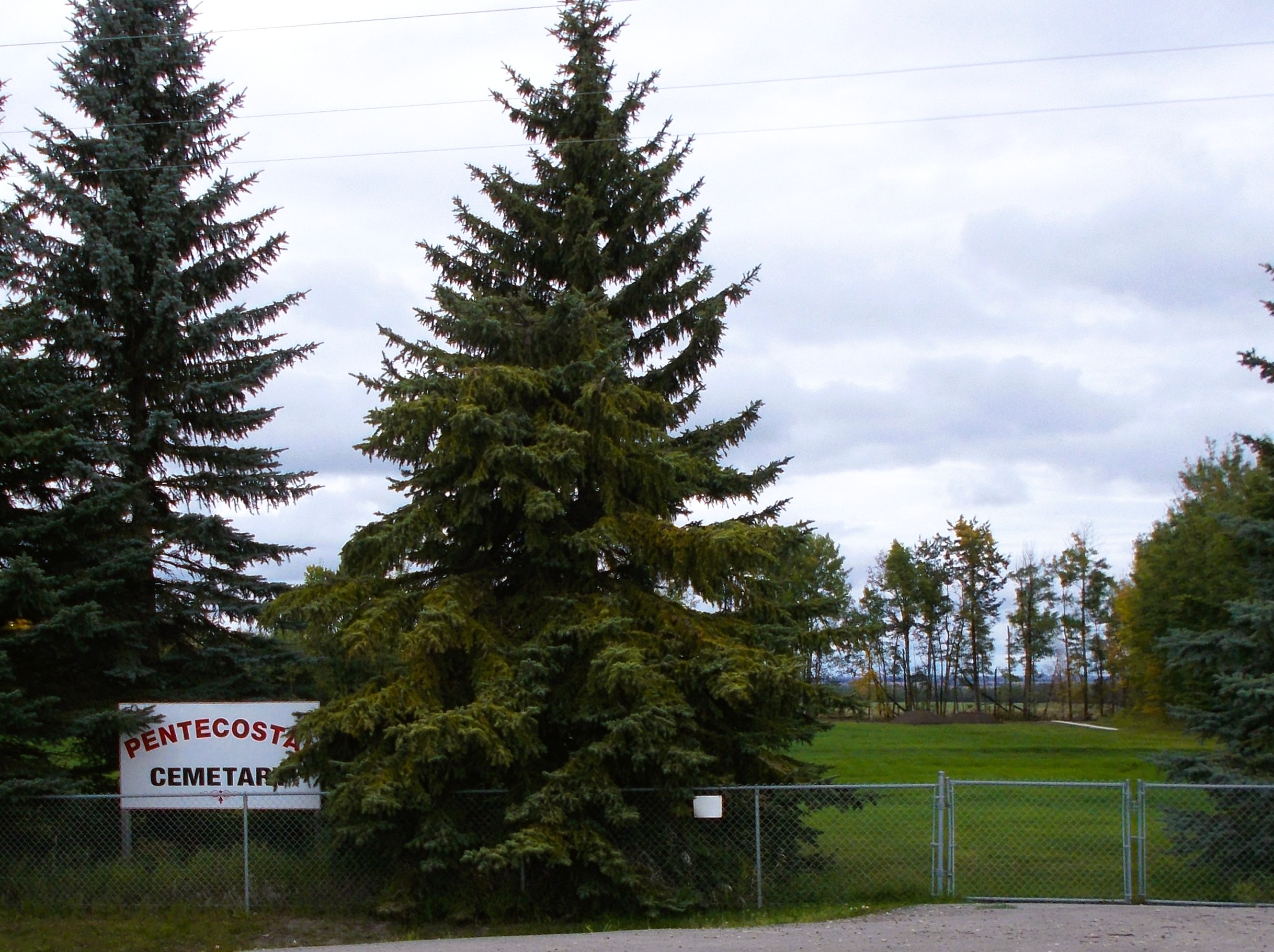
Bloomsbury is an unincorporated community in central Alberta in the County of Barrhead No. 11, located 6 km north of Highway 33, approximately 100 kilometres northwest of Edmonton. The cemetery is located at the northeast corner of Township Road 604 and Range Road 35.

Deaths

Longevity

Address

Township Road 604 and Range Road 35
Nearest Populated Centre: Bloomsbury,
Province: Alberta

Map Location

Latitude, Longitude
54.21065, -114.42657

Map Location

Search for:
RESET
Surname Given Name Born Died Age Photo(s) Cemetery Obituary Narrative R Code

The 25 most common surnames found in this cemetery.

loader

The 25 most common given names found in this cemetery.

loader

Other Cemeteries

Graburn United Church Cemetery (Cypress County)

Twp Rd 100 & Range Rd 12 (Graburn Road) , Walsh , Alberta

Hand Hills Baptist Cemetery (Special Area No. 2)

Range Road 163 and Township Road 302 , Hanna , Alberta

Fishburn United Church Cemetery (MD of Pincher Creek)

28232 Twp Rd 52 , Fishburn , Alberta

Strathmore Cemetery (Wheatland County)

Westridge Road; adjacent to Hwy 1 , Strathmore , Alberta

St. Paul's Anglican Cemetery (Calgary)

14620 Macleod Tr SE (access off 146 Ave SE & Bannister Rd) , Calgary , Alberta

Jenner Cemetery (Special Area No. 2)

Highway 884 and Highway 555 , Jenner , Alberta

St. Gabriel's Cemetery (Carbon, Kneehill County)

Range Rd 232 , Carbon , Alberta

Seven Persons Cemetery (Cypress County)

Township Road 110 east of Highway 867 , Seven Persons , Alberta

Highfield Christian Reformed Cemetery (Forty Mile County)

Highway 879, Township Road 80, Range Road 121 , Burdett , Alberta

Discover Alberta Ancestors