Courtesy of Medicine Hat and District Genealogical Society (MHDGS)

Deaths

Longevity

Address

Range Rd 62 north of Twp Road 22
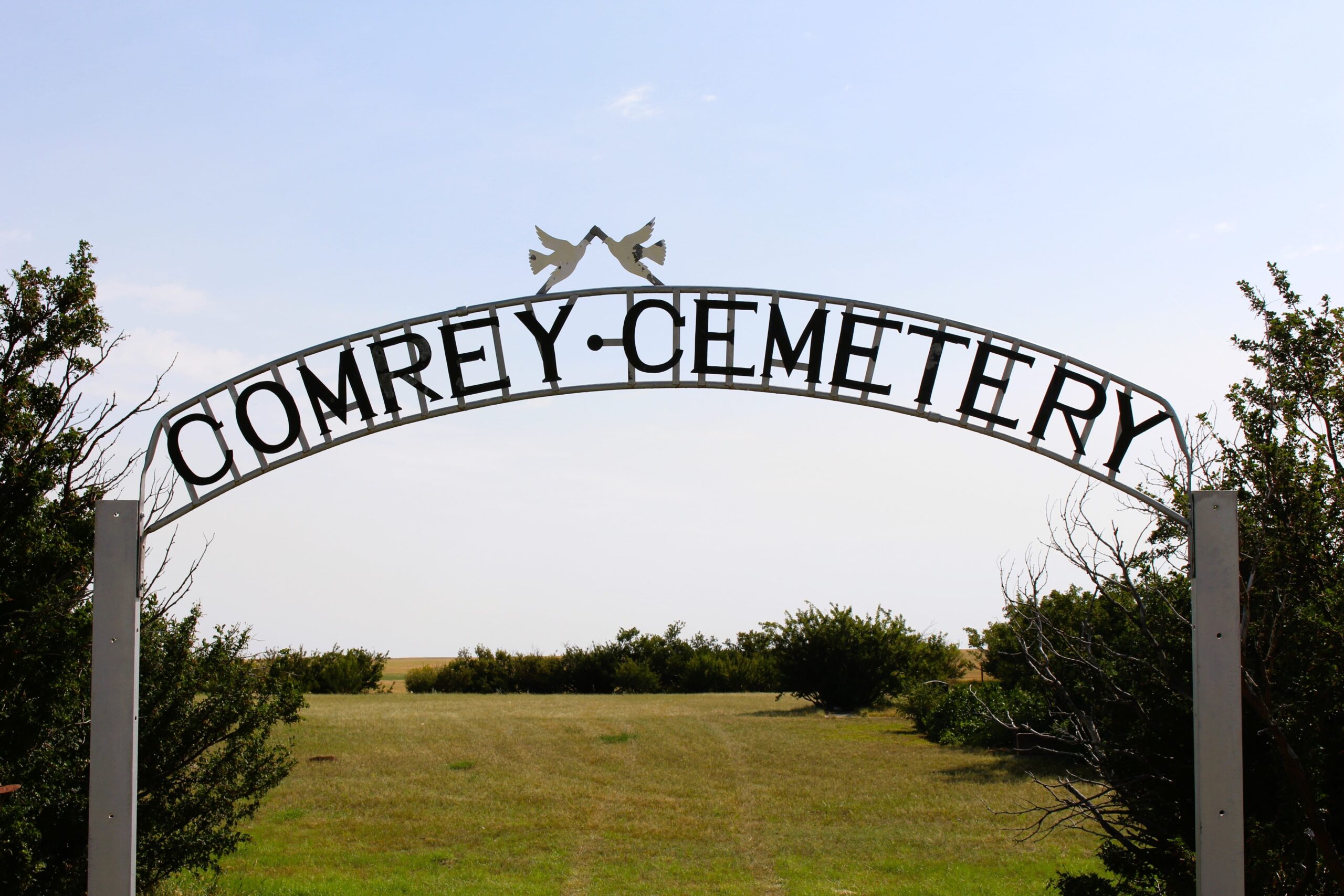
Nearest Populated Centre: Manyberries,
Province: Alberta

Map Location

Latitude, Longitude
49.12040, -110.71797

Map Location

Search for:
RESET
Surname Given Name Born Died Age Photos Cemetery R Code

The 25 most common surnames found in this cemetery.

loader

The 25 most common given names found in this cemetery.

loader

Other Cemeteries

Passburg Cemetery (Crowsnest Pass)

Passburg Dr , Passburg , Alberta

Bethel Carbon Cemetery (Kneehill County)

Twp Rd 284 & Twp Rd 836 , Carbon , Alberta

Maybutt Cemetery (Warner County)

Front St & First Ave , Maybutt , Alberta

Beazer Cemetery (Cardston County)

Beazer Cemetery Road N of Range Road 272 , Beazer , Alberta

Chancellor Cemetery (Wheatland County)

S of AB 561E on Twp Rd 245A , Chancellor , Alberta

Sundre & District Cemetery (Mountain View County)

Range Road 60 , Sundre , Alberta

Lille Cemetery (Crowsnest Pass)

Lille , Lille , Alberta

Highland Cemetery (Forty Mile County)

Township Road 120 and Range Road 84 , Whitla , Alberta

Homeland Cemetery (Kneehill County)

292044 Rge Rd 211A , Dunphy , Alberta

Spring Coulee Cemetery (Cardston County)

Range Road 234 N of Spring Coulee , Spring Coulee , Alberta

Discover Alberta Ancestors