Deaths

Longevity

Address

Highway 795 and Range Road 251
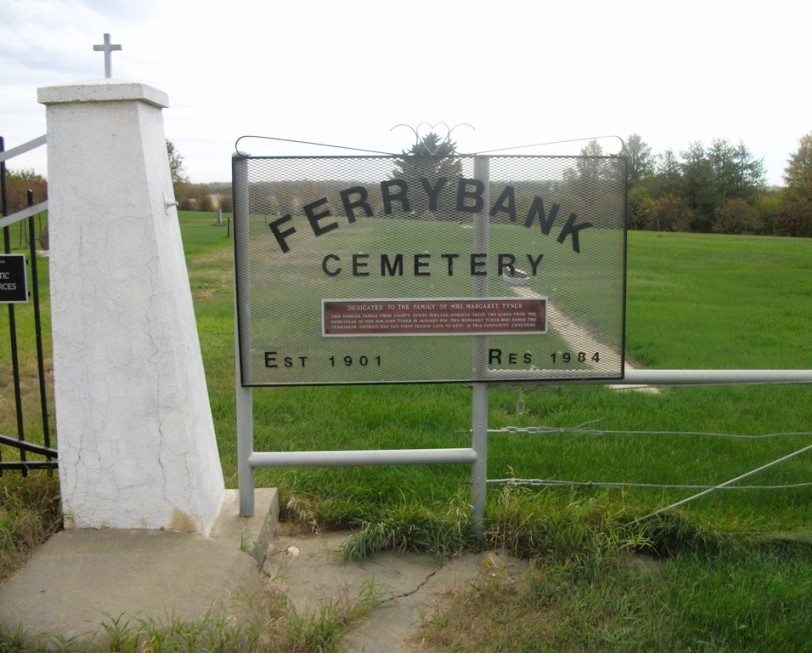
Nearest Populated Centre: Ponoka,
Province: Alberta

Map Location

Latitude, Longitude
52.7557, -113.80047

Map Location

Search for:
RESET
Surname Given Name Born Died Age Photo(s) Cemetery Obituary Narrative R Code

The 25 most common surnames found in this cemetery.

loader

The 25 most common given names found in this cemetery.

loader

Other Cemeteries

Rockyford Union Cemetery (Wheatland County)

Twp Rd 263 & Range Rd 234 , Rockyford , Alberta

Cravath Corners Cemetery (Wardlow, Special Area No. 2)

Range Road 513 S of Cessford , Wardlow , Alberta

Albion Ridge Cemetery (Lethbridge County)

Range Rd 22-2 & Twp Rd 12-0 , Barons , Alberta

Church of God Cemetery (Schuler, Cypress County)

Twp Rd 162 & Rge Rd 23 , Schuler , Alberta

Foothills Cemetery (Foothills County)

176044 402 Ave W , Diamond Valley , Alberta

Hope Lutheran Cemetery (Vulcan County)

Twp Rd 192 between Rge Roads 220 and 221 , Milo , Alberta

St. Mary's Cemetery (Calgary)

3157 Erlton St SW , Calgary , Alberta

Retlaw Cemetery (MD of Taber)

130017 Rge Rd 173 , Retlaw , Alberta

Ouelletteville Cemetery (Wheatland County)

Twp Rd 230 just west of Rge Rd 222 , Cluny , Alberta

Hussar Cemetery (Wheatland County)

Highway 561 (east of Hussar) , Hussar , Alberta

Discover Alberta Ancestors