Courtesy of Medicine Hat and District Genealogical Society (MHDGS)

Deaths

Longevity

Address

Highway 885, Township Road 85, Range Road 102
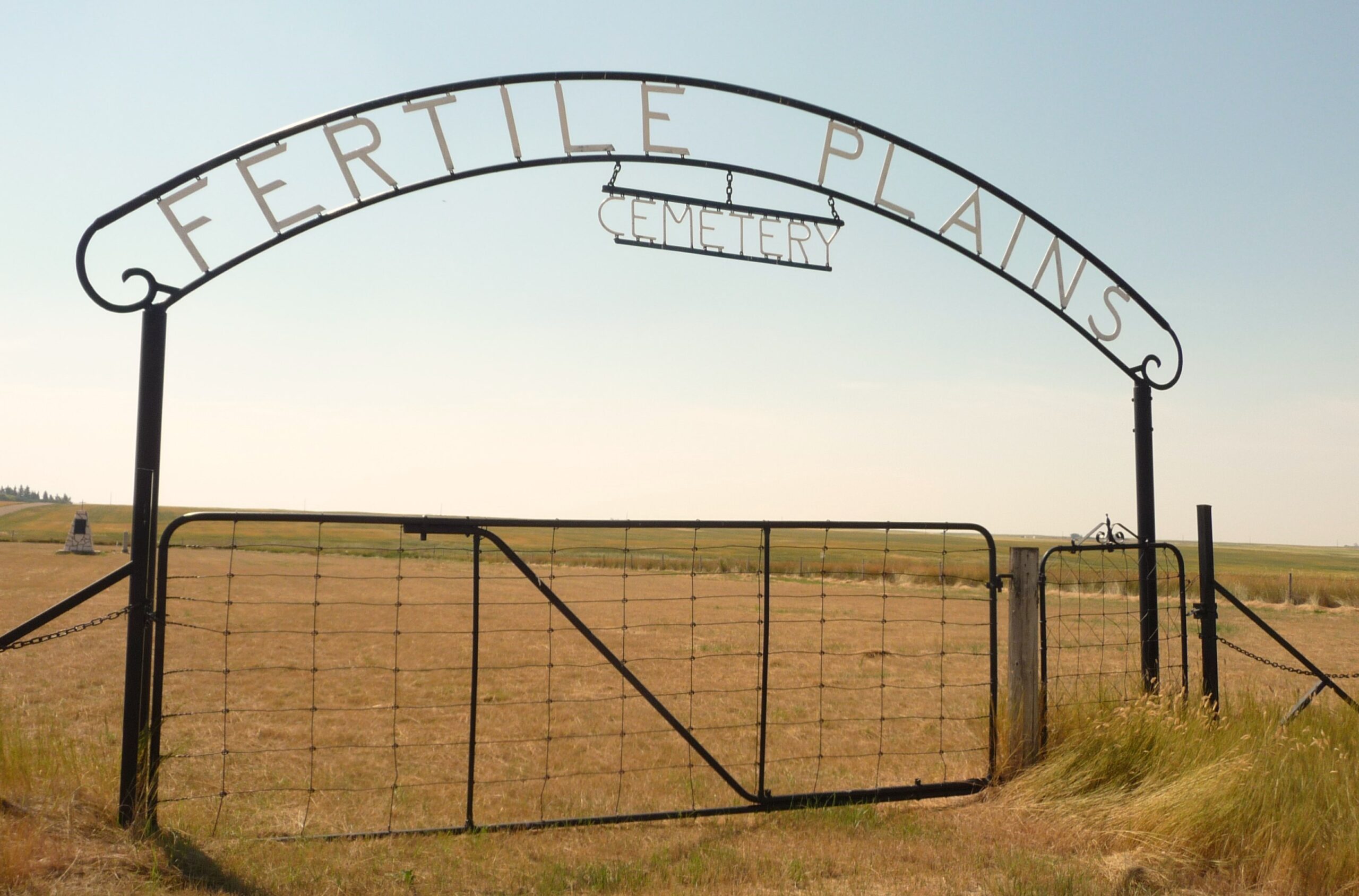
Nearest Populated Centre: Maleb, Bow Island area,
Province: Alberta

Map Location

Latitude, Longitude
49.66891, -111.26948

Map Location

Search for:
RESET
Surname Given Name Born Died Age Photos Cemetery R Code

The 25 most common surnames found in this cemetery.

loader

The 25 most common given names found in this cemetery.

loader

Other Cemeteries

Taylor Cemetery (Vulcan County)

Hwy 539 between Rge Rd 181 & Range Rd 183 , Lomond , Alberta

Bellevue Catholic Cemetery (Crowsnest Pass)

Bellevue , Bellevue , Alberta

Caldwell-Moir Cemetery (Cardston County)

Range Road 280 S of Township Road 25A/B , Mountain View , Alberta

Woolford Cemetery (Cardston County)

Highway 502 S of Township Road 31A , Woolford , Alberta

Cleverville Cemetery (Vulcan County)

Rge Rd 240 south of Twp Rd 154 , Champion , Alberta

Pleasant View Cemetery (Forty Mile County)

8 km west of junction of Highway 501 and Range Road 63 , Manyberries , Alberta

Church of God Cemetery (Walsh, Cypress County)

Twp Rd 100 & Range Rd 12 (Graburn Road) , Walsh , Alberta

Eventide Cemetery (Wheatland County)

Hwy 547 , Gleichen , Alberta

Dakota Cemetery (Ponoka County)

434015 Range Rd 273 , Ponoka , Alberta

Discover Alberta Ancestors