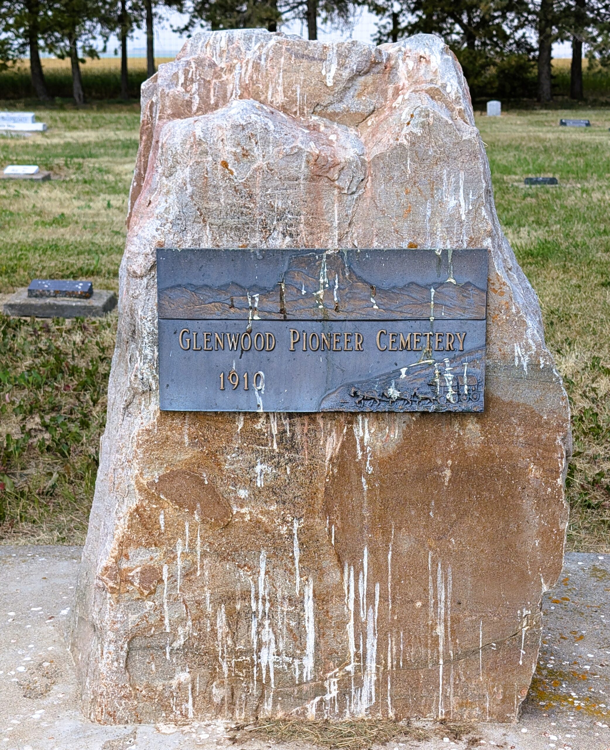
This Mormon agricultural village was named for Edward Glen Wood (died 1933), the
son of prominent local Mormon Edward James Wood. The original intention was to
name the settlement Edwood, but the elder Wood declined in favour of his son.
Glenwood was known as Glenwoodvile until 1979. The Woods are buried in the
Cardston Cemetery.
Courtesy of Harry Sanders’ book, “The Story Behind Alberta Place Names – How Cities,
Towns, Villages, and Hamlets Got their Names”, published 2003

Deaths

Longevity

Address

Highway 810 N of Range Road 52
Nearest Populated Centre: Highway 810 N of Range Road 52,
Province: Alberta

Map Location

Latitude, Longitude
49.38687, -113.50035

Map Location

Search for:
RESET
Surname Given Name Born Died Age Photos Cemetery R Code

The 25 most common surnames found in this cemetery.

loader

The 25 most common given names found in this cemetery.

loader

Other Cemeteries

Quast Family Cemetery (Cypress County)

Twp Rd 160 & Rge Rd 23 , Schuler , Alberta

O Perfect Peace Cemetery (Vulcan County)

Range Road 212 between Township Roads 190 and 192 , Milo , Alberta

St. Anthony's Cemetery (Maleb, Forty Mile County)

Township Road 91 and Range Road 91 , Maleb , Alberta

Little Plume Cemetery (Cypress County)

Eagle Butte Rd (Range Rd 51) and Twp Rd 100 , South of Dunmore , Alberta

Bow City Cemetery (Newell County)

Rge Rd 165 north of Hwy 539 , Brooks , Alberta

Lomond Cemetery (Vulcan County)

Highway 531 & Range Road 202 , Lomond , Alberta

Gleichen Cemetery (Wheatland County)

Highway 547 north of town , Gleichen , Alberta

Torrington Zion Lutheran Cemetery (Kneehill County)

322043 Rge Rd 261 , Torrington , Alberta

Rosemary North Cemetery (Newell County)

Range Road 160 N of Highway 550 , Rosemary , Alberta

Sunnynook Cemetery (Special Area No. 2)

Township Road 272 E of Range Road 124A , Hanna , Alberta

Discover Alberta Ancestors