Courtesy of Medicine Hat and District Genealogical Society (MHDGS)

Deaths

Longevity

Address

Twp Rd 100 & Range Rd 12 (Graburn Road)
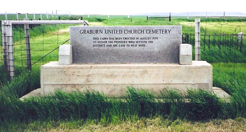
Nearest Populated Centre: Walsh,
Province: Alberta

Map Location

Latitude, Longitude
49.78545, -110.04853

Map Location

Search for:
RESET
Surname Given Name Born Died Age Photo(s) Cemetery Obituary Narrative R Code

The 25 most common surnames found in this cemetery.

loader

The 25 most common given names found in this cemetery.

loader

Other Cemeteries

Namaka Mennonite Cemetery (Wheatland County)

Namaka, Strathmore Census Division , Carseland , Alberta

Cassils Pioneer Cemetery (Newell County)

Range Road 154 and Township Road 190 , Brooks , Alberta

Foothills Cemetery (Foothills County)

176044 402 Ave W , Diamond Valley , Alberta

Highland Cemetery (Vulcan County)

Twp Rd 24 south of Rge Rd 542 , Vulcan , Alberta

Coffin Handle Butte Cemetery (Vulcan County)

top of Coffin Handle Butte east of Milo AB , Milo , Alberta

Jenner Cemetery (Special Area No. 2)

Highway 884 and Highway 555 , Jenner , Alberta

Etzikom Cemetery (Forty Mile County)

Township Road 64, Range Road 91, Highway 885 , Etzikom , Alberta

St. Joseph's Cemetery (Schuler, Cypress County)

Twp Rd 162 and Rge Rd 13 , Schuler , Alberta

Goddard Cemetery (Forty Mile County)

Township Road 121 and Range Road 50 , Foremost , Alberta

Nemiscam Cemetery (Forty Mile County)

Highway 501 (Red Coat Trail) and Range Road 103 , Nemiskam , Alberta

Discover Alberta Ancestors