Courtesy of Medicine Hat and District Genealogical Society (MHDGS)

Deaths

Longevity

Address

Twp Rd 100 & Range Rd 12 (Graburn Road)
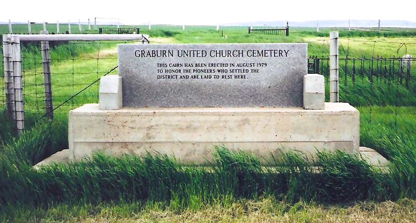
Nearest Populated Centre: Walsh,
Province: Alberta

Map Location

Latitude, Longitude
49.78545, -110.04853

Map Location

Search for:
RESET
Surname Given Name Born Died Age Photos Cemetery R Code

The 25 most common surnames found in this cemetery.

loader

The 25 most common given names found in this cemetery.

loader

Other Cemeteries

Sunnynook Cemetery (Special Area No. 2)

Township Road 272 E of Range Road 124A , Hanna , Alberta

St. Joseph's Cemetery (Three Hills, Kneehill County)

Secondary Highway 583 just west of Three Hills , Three Hills , Alberta

Stirling Mennonite Cemetery (Warner County)

Range Road 195 S of Highway 52 , Stirling , Alberta

Hartleyville Cemetery (Cardston County)

Township Road 52 W of Range Road 275 , Hartleyville , Alberta

Walsh Community Cemetery (Cypress County)

Township Road 114 and Range Road 13 , Walsh , Alberta

Glenwood Cemetery (Cardston County)

Highway 810 N of Range Road 52 , Highway 810 N of Range Road 52 , Alberta

White Lake Cemetery (Lethbridge County)

11195 Range Road 24-3 , Nobleford , Alberta

Highfield Christian Reformed Cemetery (Forty Mile County)

Highway 879, Township Road 80, Range Road 121 , Burdett , Alberta

Zion Cemetery (Many Islands, Cypress County)

Township Road 132 and Range Road 21 , Many Islands , Alberta

Bellevue Union Cemetery (Crowsnest Pass)

Larch Ave , Bellevue , Alberta

Discover Alberta Ancestors