Deaths

Longevity

Address

Range Road 163 and Township Road 302
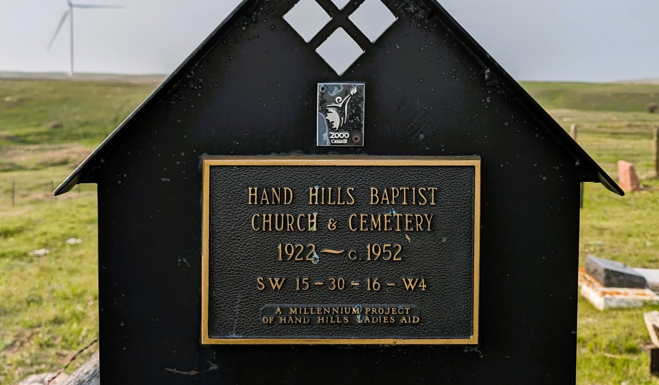
Nearest Populated Centre: Hanna,
Province: Alberta

Map Location

Latitude, Longitude
51.56217, -112.18495

Map Location

Search for:
RESET
Surname Given Name Born Died Age Photos Cemetery R Code

The 25 most common surnames found in this cemetery.

loader

The 25 most common given names found in this cemetery.

loader

Other Cemeteries

Jennings (Northern) Cemetery (Special Area No. 2)

Range Road 113 N of Township Road 250 , Cessford , Alberta

Rosebud Cemetery (Wheatland County)

Twp Rd 272 , Rosebud , Alberta

Hutton-Pandora Cemetery (Special Area No. 2)

Township Road 242 E of Highway 36 , Hutton , Alberta

Haneyville Cemetery (Paintearth County)

Township Road 370 , Haneyville , Alberta

Christ Lutheran Cemetery (Red Deer County)

Township Road 370 and Range Road 32 , Spruce View , Alberta

St. Andrews Cemetery (Cochrane, Rocky View County)

427 Centre Ave N , Cochrane , Alberta

Brant Cemetery (Vulcan County)

Hwy 804 south of Twp Rd Twp Rd 182 , Brant , Alberta

Lutheran Cemetery (Schuler, Cypress County)

Twp Rd 161 & Rge Rd 10 , Schuler , Alberta

Rosemary North Cemetery (Newell County)

Range Road 160 N of Highway 550 , Rosemary , Alberta

Maybutt Cemetery (Warner County)

Front St & First Ave , Maybutt , Alberta

Discover Alberta Ancestors