Courtesy of Medicine Hat and District Genealogical Society (MHDGS)

Deaths

Longevity

Address

Highway 879, Township Road 80, Range Road 121
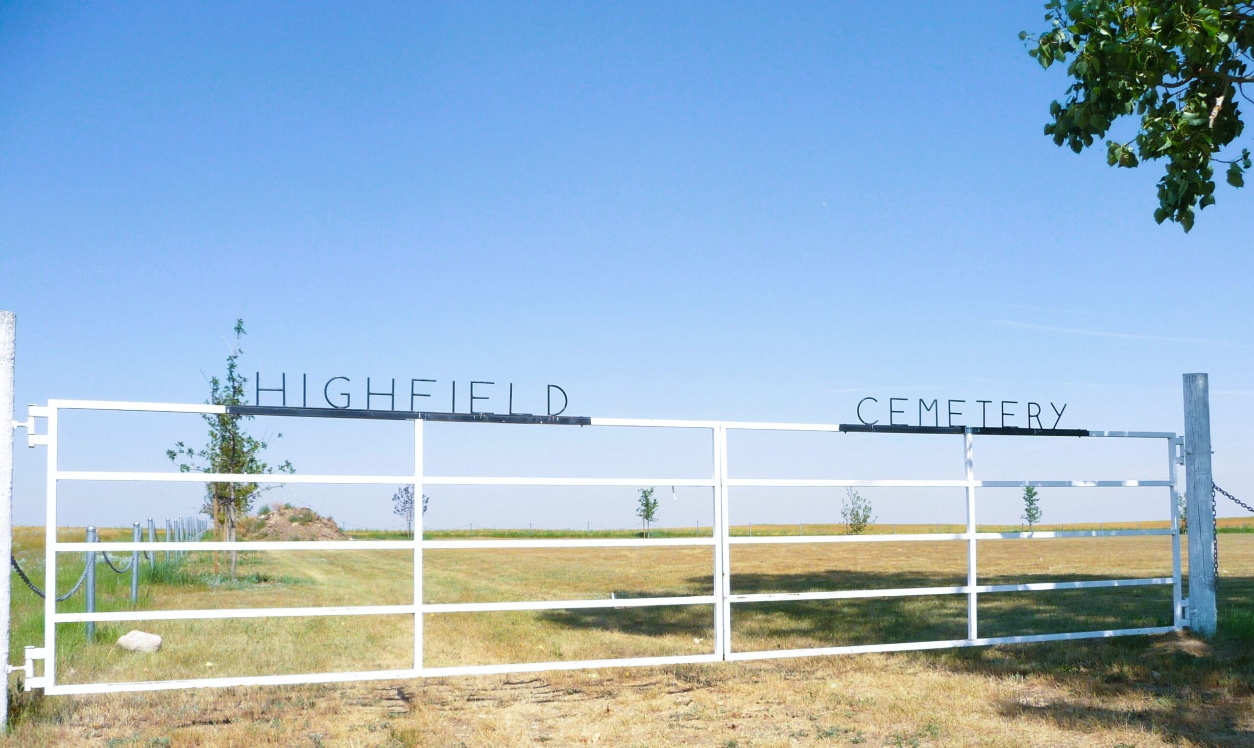
Nearest Populated Centre: Burdett,
Province: Alberta

Map Location

Latitude, Longitude
49.6115, -111.52843

Map Location

Search for:
RESET
Surname Given Name Born Died Age Photos Cemetery R Code

The 25 most common surnames found in this cemetery.

loader

The 25 most common given names found in this cemetery.

loader

Other Cemeteries

Stirling Mennonite Cemetery (Warner County)

Range Road 195 S of Highway 52 , Stirling , Alberta

Hespero Cemetery (Clearwater County)

Highway 11 and Range Road 42 , Hespero , Alberta

Beiseker Community Cemetery (Rocky View County)

Range Rd 262, south of Township Rd 282 , Beiseker , Alberta

Green Valley Cemetery (Clearwater County)

63040 Highway 598 , Codner , Alberta

Stockburger Cemetery (Cypress County)

Township Road 190 and Range Road 20 , Hilda , Alberta

Ouelletteville Cemetery (Wheatland County)

Twp Rd 230 just west of Rge Rd 222 , Cluny , Alberta

Cochrane Cemetery (Rocky View County)

408 Centre Ave N , Cochrane , Alberta

Schlaht Cemetery (Cypress County)

Township Road 112 and Range Road 21 , Irvine , Alberta

Norwegian Lutheran Cemetery (Cypress County)

Rge Rd 20 and Twp Rd 160 , Schuler , Alberta

Westerdale Cemetery (Mountain View County)

32180 Hwy 766 , Westerdale , Alberta

Discover Alberta Ancestors