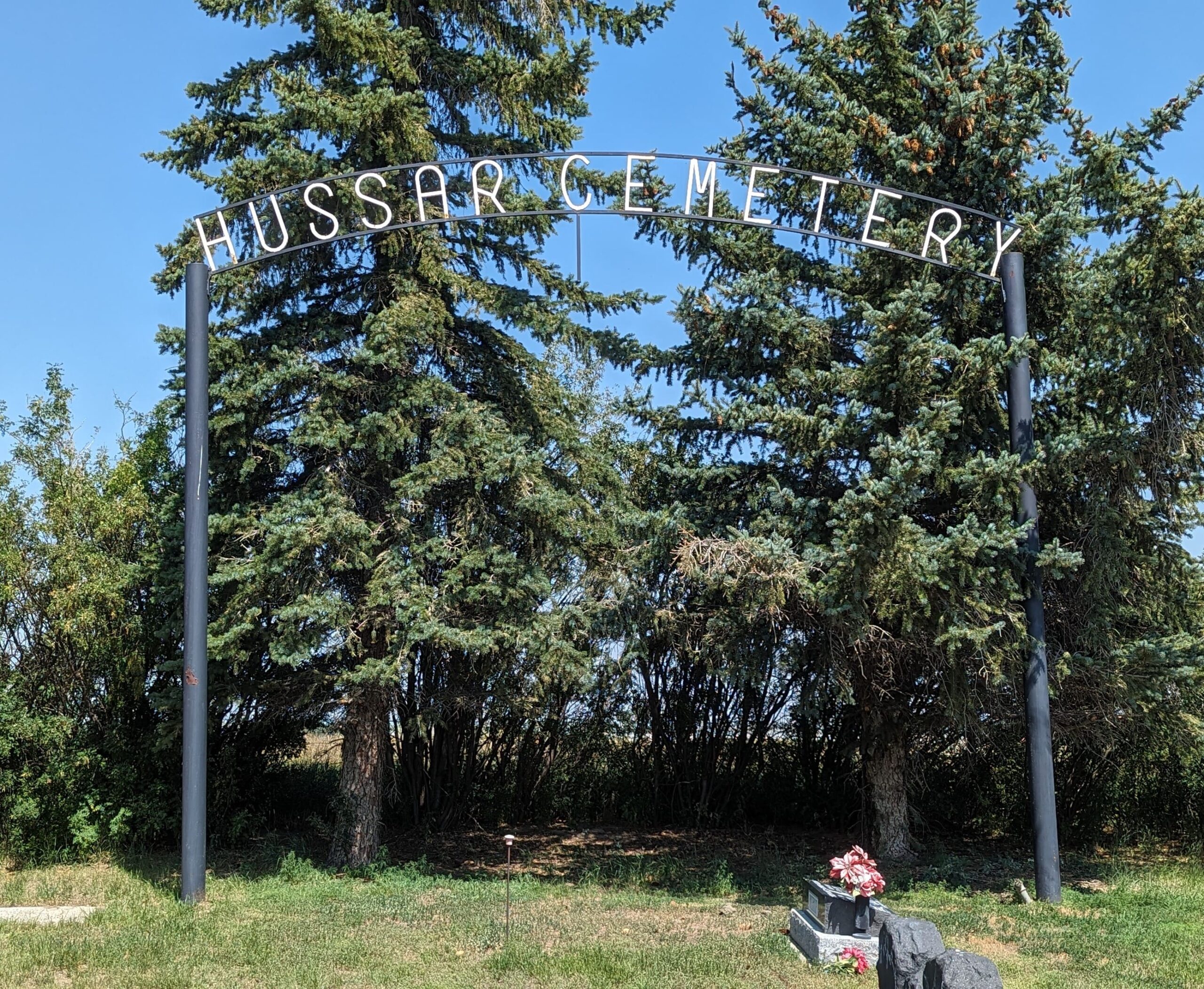
Highway 561 (east of Hussar)

Hussar is a village on Secondary Highway 561, approximately 47 kilometres south of Drumheller. The German Canadian Farming Company, which established a settlement here in 1910-1911, was one of many such many corporations that created an ethnic bloc settlement on land acquired from the Canadian Pacific Railway. For these particular settlers, some of whom had been Hussars (members of a light cavalry regiment) in the German army, the timing could hardly have been worse. In 1914, the outbreak of war between the British Empire and its German, Austro-Hungarian, and Ottoman counterparts saw some of these colonists attempt to return to their fatherland where they were still reserve officers. Others who remained behind were interned; the company collapsed and its assets were lost. Still, both the Post Office and the Canadian Pacific Railway station retained the name, and the village of Hussar was incorporated in 1928.
Source: “The Story Behind Alberta Names” by Harry M Sanders, published 2003
Address
Highway 561 (east of Hussar)
Nearest Populated Centre: Hussar,
Province: Alberta
Map Location
Latitude, Longitude
51.03854, -112.65702
Map Location
| Surname | Given Name | Born | Died | Age | Photos | Cemetery | R Code |
|---|---|---|---|---|---|---|---|
The 25 most common surnames found in this cemetery.

The 25 most common given names found in this cemetery.

