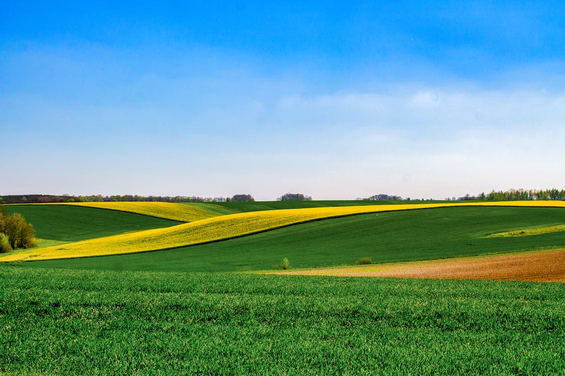
The small plot is located in SW 02-18-02-W4, seven miles west of Hilda, Alberta, just south of the buildings on the Colony.

Courtesy of Medicine Hat and District Genealogical Society (MHDGS)

Deaths

Longevity

Address

Twp Rd 180 and Rge Rd 22
Nearest Populated Centre: Hilda,
Province: Alberta

Map Location

Latitude, Longitude
50.49027, -110.18764

Map Location

Search for:
RESET
Surname Given Name Born Died Age Photo(s) Cemetery Obituary Narrative R Code

The 25 most common surnames found in this cemetery.

loader

The 25 most common given names found in this cemetery.

loader

Other Cemeteries

Hill Spring Cemetery (Cardston County)

Township Rd 43A , Hill Spring , Alberta

Caldwell-Moir Cemetery (Cardston County)

Range Road 280 S of Township Road 25A/B , Mountain View , Alberta

Burnbrae Cemetery (Ponoka County)

Township Road 444 east of Highway 771 , Homeglen , Alberta

Hilda Bethlehem Lutheran Cemetery (Cypress County)

Twp Rd 182 & Range Rd 20 , Hilda , Alberta

Seventh Day Adventist Cemetery (Cypress County)

Twp Rd 103 & Rge Rd 22 , Irvine , Alberta

Assumption Cemetery (Forty Mile County)

Range Rd 130, Township Rd 92 , Grassy Lake , Alberta

Baptist Freedom Settlers Cemetery (Cypress County)

SH 515 & Range Rd 31 , Josephburg , Alberta

St. Mary's Pioneer Cemetery (Calgary)

3157 Erlton St SW , Calgary , Alberta

St. Francis of Assisi Cemetery (Leduc County)

Highway 770 north of Highway 622 , Thorsby , Alberta

Sharon Cemetery (Vulcan County)

26531-26501 Twp Rd 174, SW of Brant; NE corner of Rge Rd 270 & Twp Rd 174 , SW of Brant , Alberta

Discover Alberta Ancestors