Courtesy of Medicine Hat and District Genealogical Society (MHDGS)

Deaths

Longevity

Address

Twp Rd 74 & Range Rd 31
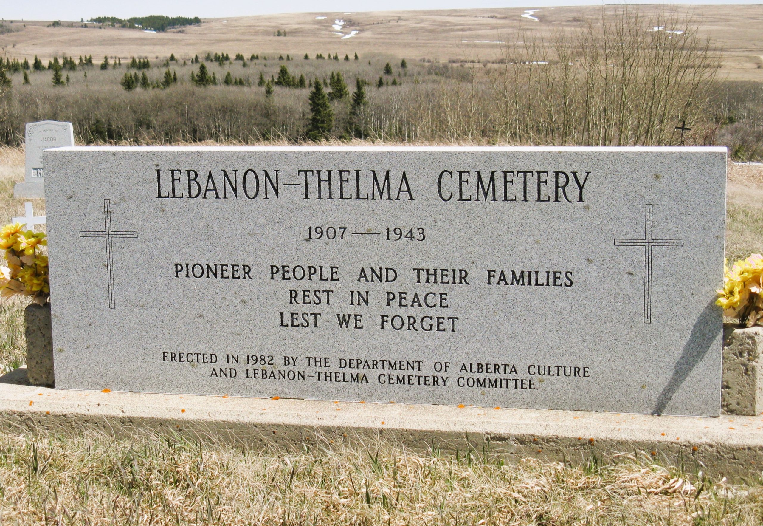
Nearest Populated Centre: Irvine,
Province: Alberta

Map Location

Latitude, Longitude
49.60307, -110.29783

Map Location

Search for:
      RESET

      The 25 most common surnames found in this cemetery.

      loader

      The 25 most common given names found in this cemetery.

      loader

      Other Cemeteries

      Benalto Cemetery (Red Deer County)

      Range Road 25 S of Township Road 385 , Benalto , Alberta

      Beiseker Zion United Cemetery (Rocky View County)

      Range Rd 272 west of Range Rd 253 , Beiseker , Alberta

      Westerdale Cemetery (Mountain View County)

      32180 Hwy 766 , Westerdale , Alberta

      Frankburg Cemetery (Foothills County)

      Range Rd 273, S of Hwy 23 , Frankburg (ghost town south of Blackie) , Alberta

      Gem Cemetery (Newell County)

      Township Road 224 E of Highway 862 , Gem , Alberta

      St. Mary's Cemetery (Beiseker, Rocky View County)

      Township Rd 282 & Range Rd 261 , Beiseker , Alberta

      Jennings (Northern) Cemetery (Special Area No. 2)

      Range Road 113 N of Township Road 250 , Cessford , Alberta

      Coffin Handle Butte Cemetery (Vulcan County)

      top of Coffin Handle Butte east of Milo AB , Milo , Alberta

      Highland Cemetery (Forty Mile County)

      Township Road 120 and Range Road 84 , Whitla , Alberta

      Cremona Cemetery (Mountain View County)

      4175 Hwy 580 , Cremona , Alberta

      Discover Alberta Ancestors