
Highway 849 S of Michichi
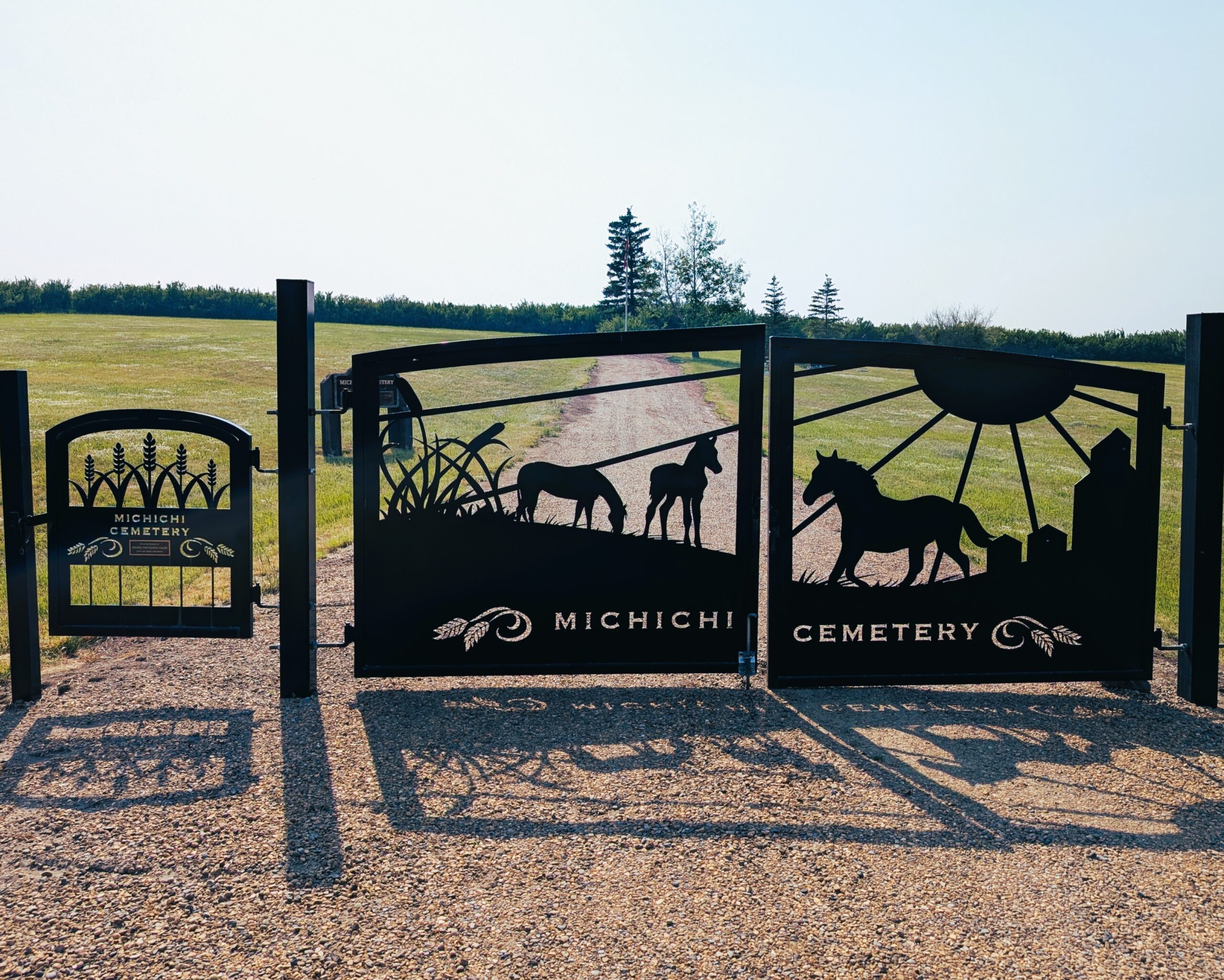
Michichi Cemetery is just south of the tiny hamlet of Michichi in Starland County. The hamlet itself was established by the Canadian Northern Railway and named from the Cree word micihciy—meaning “hand”—a nod to the nearby Hand Hills.
The cemetery almost certainly dates back to the early settlement era of the region in the early 1900s, when homesteaders arrived and farmed the land amid the rolling prairie and hills. Although there’s no precise founding record, surviving burials include individuals who passed away there as early as the 1940s.
Michichi Cemetery served as a final resting place for generations of local families—pioneers, farmers, railway workers, schoolteachers, and community members—often with surnames like Martin, Tario, Ritchie, Elliott, Gosling, Johnston, and others who were part of the settlement fabric in Michichi’s early decades. These families are remembered by headstones and simple markers, reflecting the humble spirit of rural Alberta cemeteries.
Michichi itself has always remained very small. In 1941, the hamlet had 73 residents; by 2013 that number had dwindled to just 34 people. As the population declined, funeral services, churches, and the local school also closed—the Starland Gospel Hall operated until the late 1970s after the school’s closing in the late 1950s, as rural residents moved to larger towns.
Despite its tiny footprint, Michichi Cemetery remains historically significant as a witness to the settlement patterns, family legacies, and rural community life of southern Alberta in the 20th century. Many of its markers and records are used by genealogists and local historians seeking traces of early settler families.
Visitors seeking a silent glimpse into Alberta’s pioneer past may find Michichi Cemetery set among open prairie framed by the Hand Hills—an important memorial site for a small, once‑thriving prairie community. Its preservation reflects both the county’s heritage commitment and the enduring memories of local families.
Address
Highway 849 S of Michichi
Nearest Populated Centre: Michichi,
Province: Alberta
Map Location
Latitude, Longitude
51.57462, -112.53547
Map Location
| Surname | Given Name | Born | Died | Age | Photos | Cemetery | R Code |
|---|---|---|---|---|---|---|---|
The 25 most common surnames found in this cemetery.

The 25 most common given names found in this cemetery.