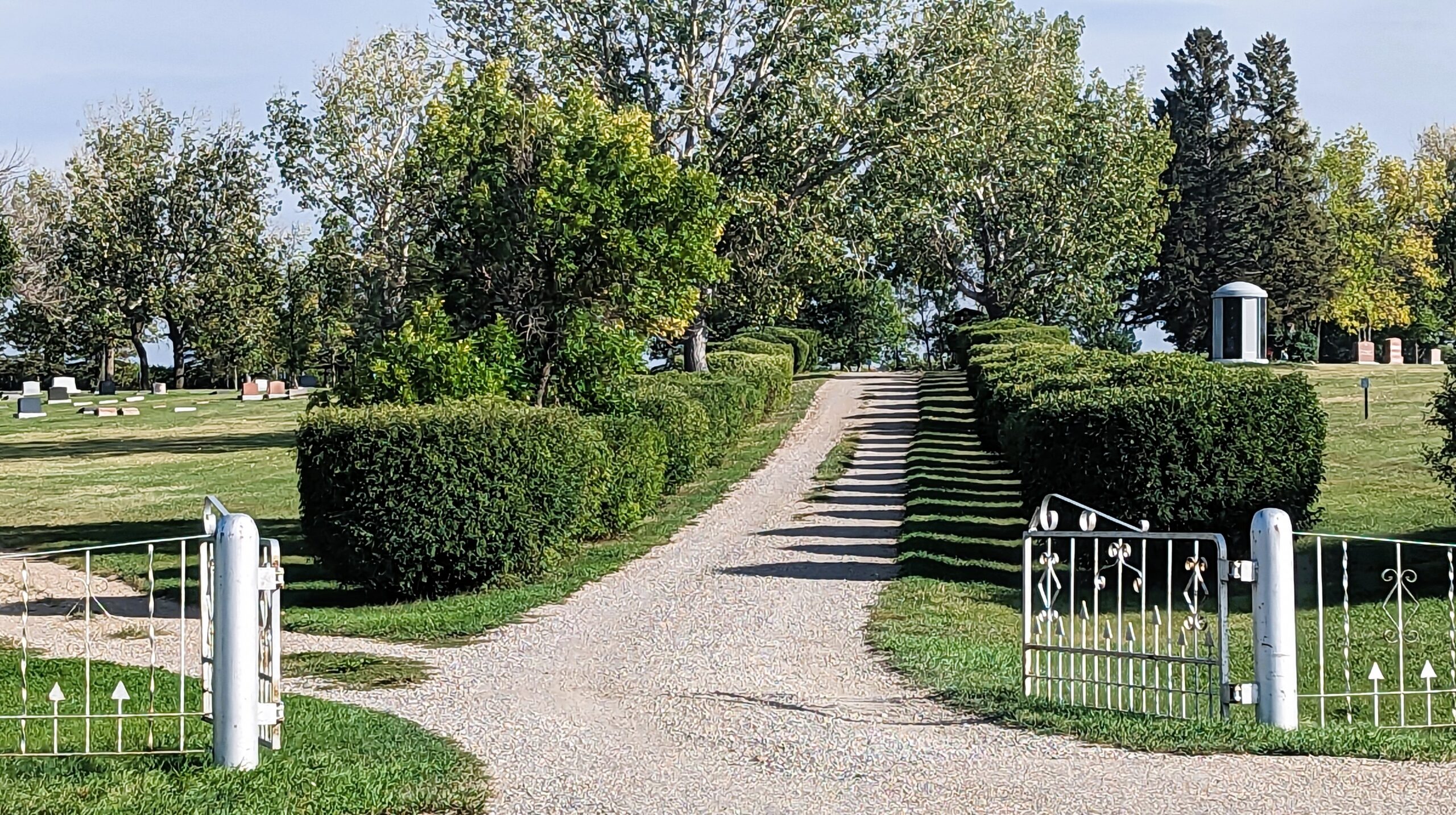
Deaths

Longevity

Address


Nearest Populated Centre: Nanton,
Province: Alberta

Map Location

Latitude, Longitude
50.333448, -113.758819

Map Location

Search for:
RESET
Surname Given Name Born Died Age Photo(s) Cemetery Obituary Narrative R Code

The 25 most common surnames found in this cemetery.

loader

The 25 most common given names found in this cemetery.

loader

Other Cemeteries

Chedderville Cemetery (Clearwater County)

373002 Highway 22 , Chedderville , Alberta

Beiseker Zion United Cemetery (Rocky View County)

Range Rd 272 west of Range Rd 253 , Beiseker , Alberta

Box Springs Cemetery (Cypress County)

Twp Rd 142 & Range Rd 62 , Redcliff , Alberta

Blackie Cemetery (Foothills County)

490001 Hwy 799 , Blackie , Alberta

St. Paul's Lutheran Cemetery (Special Area No. 2)

Range Road 162 and Township Road 302 , Hanna , Alberta

Glen Banner Lutheran Cemetery (Forty Mile County)

Township Road 72 and Range Road 64 , Orion , Alberta

Kootenay Brown Cemetery (Waterton Lakes National Park)

Highway 5, Waterton Park , Waterton , Alberta

Hilda Bethlehem Lutheran Cemetery (Cypress County)

Twp Rd 182 & Range Rd 20 , Hilda , Alberta

Bottrel Cemetery (Rocky View County)

Range Rd 43 & Township Rd 283 , Bottrel , Alberta

St. Andrews Cemetery (Cochrane, Rocky View County)

427 Centre Ave N , Cochrane , Alberta

Discover Alberta Ancestors