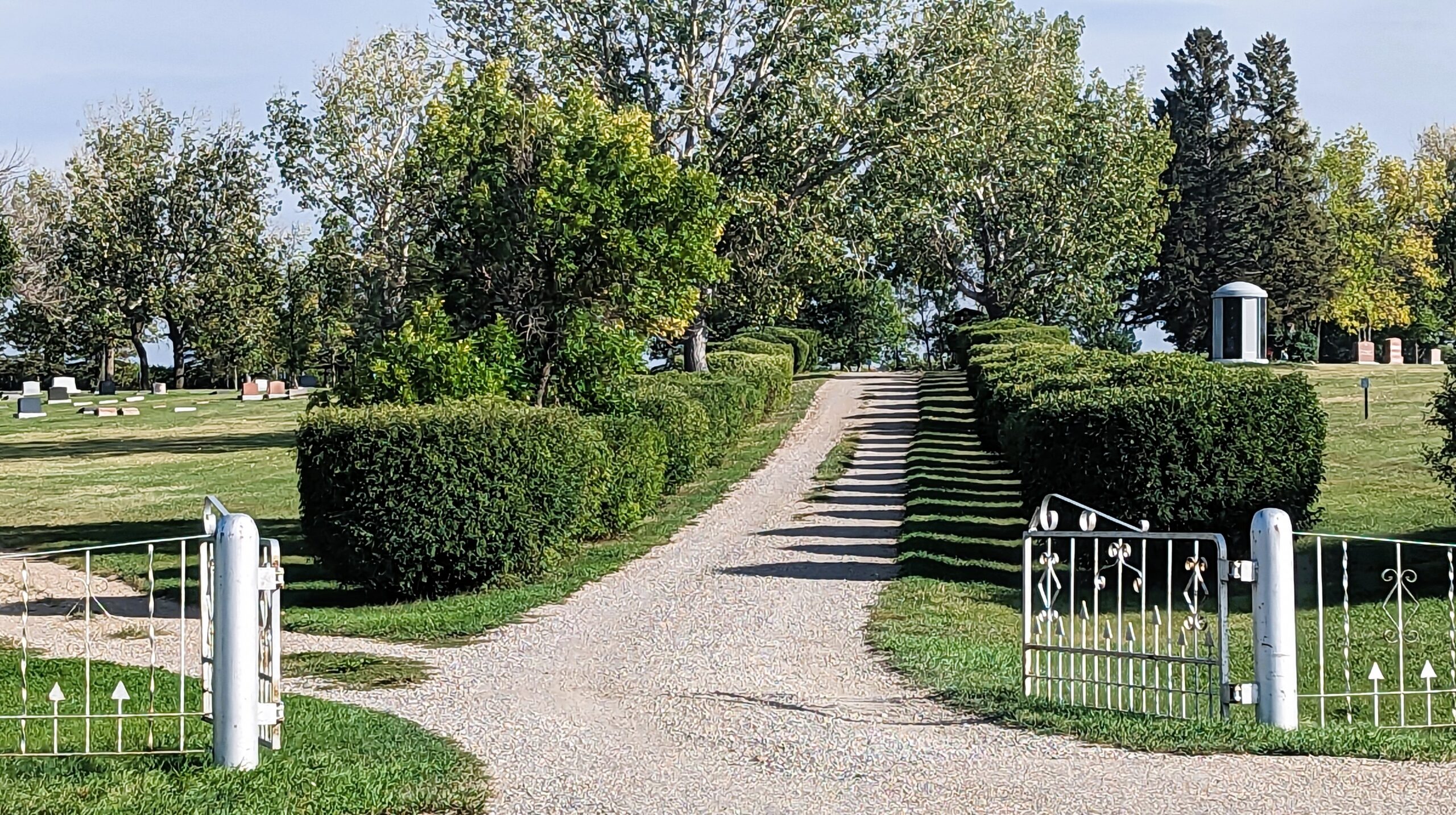
Deaths

Longevity

Address


Nearest Populated Centre: Nanton,
Province: Alberta

Map Location

Latitude, Longitude
50.333448, -113.758819

Map Location

Search for:
RESET
Surname Given Name Born Died Age Photos Cemetery R Code

The 25 most common surnames found in this cemetery.

loader

The 25 most common given names found in this cemetery.

loader

Other Cemeteries

Westerdale Cemetery (Mountain View County)

32180 Hwy 766 , Westerdale , Alberta

Karl Wolfer Cemetery (Cypress County)

Twp Rd 204 & Rge RD 12 , Sandy Point , Alberta

Namaka Mennonite Cemetery (Wheatland County)

Namaka, Strathmore Census Division , Carseland , Alberta

Ebenezer Cemetery (Forty Mile County)

Township Road 84 and Range Road 71 , Seven Persons , Alberta

Torrington West Cemetery (Kneehill County)

263074 Hwy 27 , Torrington , Alberta

Meadow Vale Cemetery (Ponoka County)

Township Road 430 W of Range Road 50 , Rimbey , Alberta

Baptist Freedom Settlers Cemetery (Cypress County)

SH 515 & Range Rd 31 , Josephburg , Alberta

Hillcrest Cemetery (Crowsnest Pass)

223 St , Hillcrest Mines , Alberta

Nemiscam Cemetery (Forty Mile County)

Highway 501 (Red Coat Trail) and Range Road 103 , Nemiskam , Alberta

Discover Alberta Ancestors