
Passburg Dr
Passburg Cemetery is located in Southwestern Alberta, within the Municipality of Crowsnest Pass. It is located alongside Passburg Drive, about a kilometre northwest of the Leitch Collieries Provincial Historic Site on Highway 3 (Crowsnest Highway). It is owned and operated by the Municipality, along with 8 other cemeteries in the region.
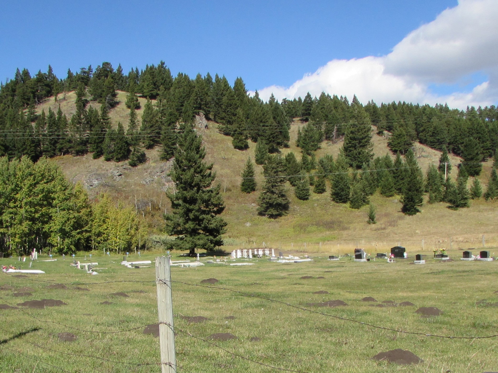
The settlement of Passburg was established around 1907 adjacent to the Leitch Collieries, and began to fail when that facility shut down in 1915. Some of its buildings were moved to other communities within the Crowsnest Pass, as were many of its residents. Although the town is gone, the cemetery is still used, partially as a replacement for the flood-prone Bellevue Union Cemetery.
Settlement of the valley of the Crowsnest River in Alberta began in the 1880s and was greatly accelerated by the construction of the Canadian Pacific Railway from Lethbridge a decade later. This also triggered the development of the extensive coal deposits in the Crowsnest Pass and attracted the influx of miners and their families from Eastern Canada, the United States, Great Britain, and many parts of Europe. The towns which provided housing and services for the residents were all started within a period of 8 years. Blairmore had the first Post Office (1899) followed by Cowley (1900), Frank (1901) then Coleman (1904), Lundbreck (1906), Lille (1906) and finally Bellevue and Hillcrest in 1907.
Address
Passburg Dr
Nearest Populated Centre: Passburg,
Province: Alberta
Map Location
Latitude, Longitude
49.56296, -114.33839
Map Location
| Surname | Given Name | Born | Died | Age | Photos | Cemetery | R Code |
|---|---|---|---|---|---|---|---|
The 25 most common surnames found in this cemetery.

The 25 most common given names found in this cemetery.