
8 km west of junction of Highway 501 and Range Road 63
Pleasant View Cemetery is located 21 kilometers south west of Manyberries via Secondary Highways #889 and #501.
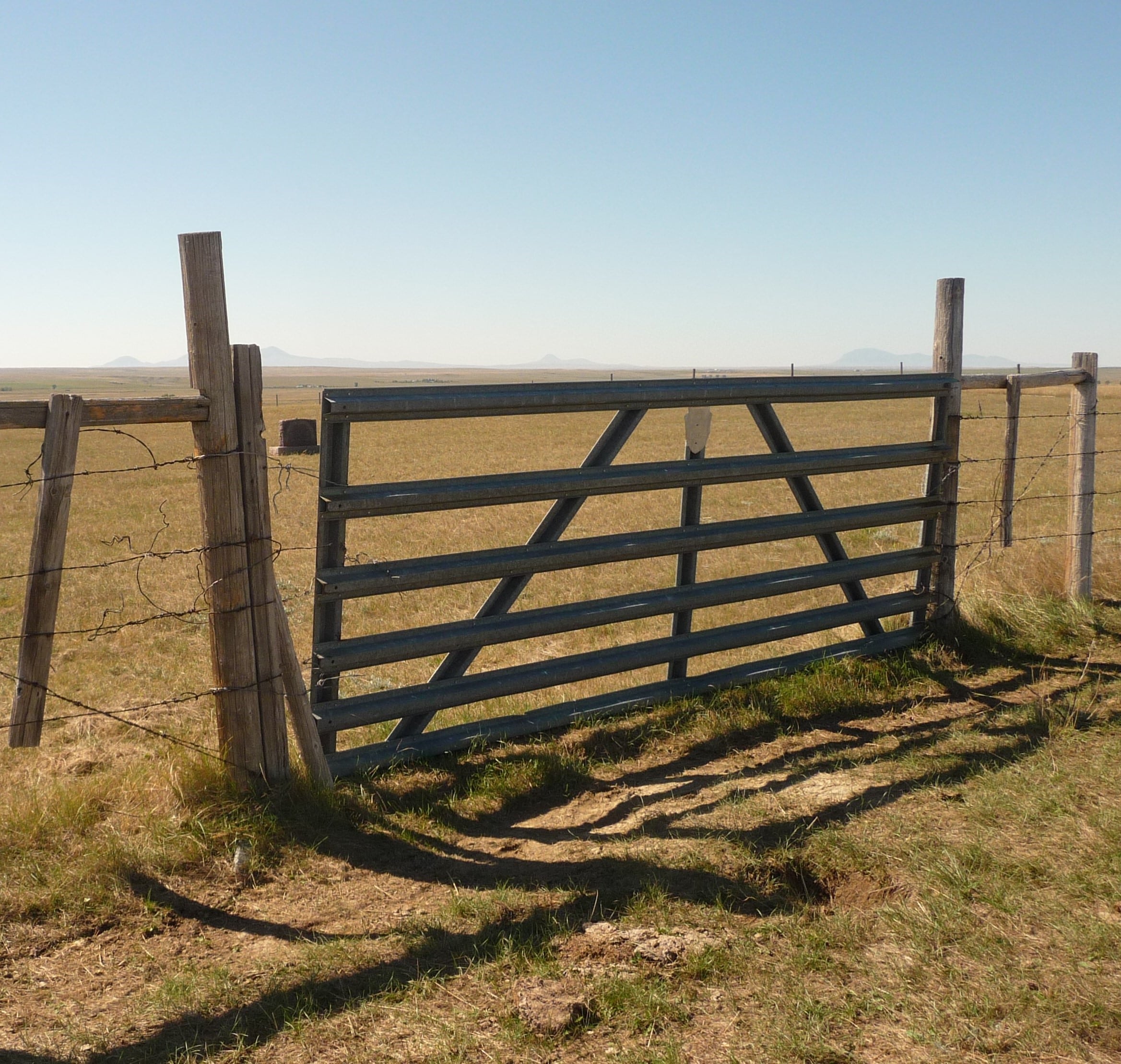
It is located 1/2 mile (.8 kilometers) due west of the intersection of Secondary Highway #501 and Range Road #63. Please contact the land owner prior to walking to the cemetery as there may be cattle in the pasture.
Community: Manyberries
Township: NW 33-03-06 W4
Locality: County of Forty Mile
Province: AB
THIS IS NOT AN ACTIVE CEMETERY.
Courtesy of Medicine Hat and District Genealogical Society (MHDGS)
Address
8 km west of junction of Highway 501 and Range Road 63
Nearest Populated Centre: Manyberries,
Province: Alberta
Map Location
Latitude, Longitude
49.26104, -110.75792
Map Location
| Surname | Given Name | Born | Died | Age | Photos | Cemetery | R Code |
|---|---|---|---|---|---|---|---|
The 25 most common surnames found in this cemetery.

The 25 most common given names found in this cemetery.