Deaths

Longevity

Address

Range Rd 282, north of Hwy 533
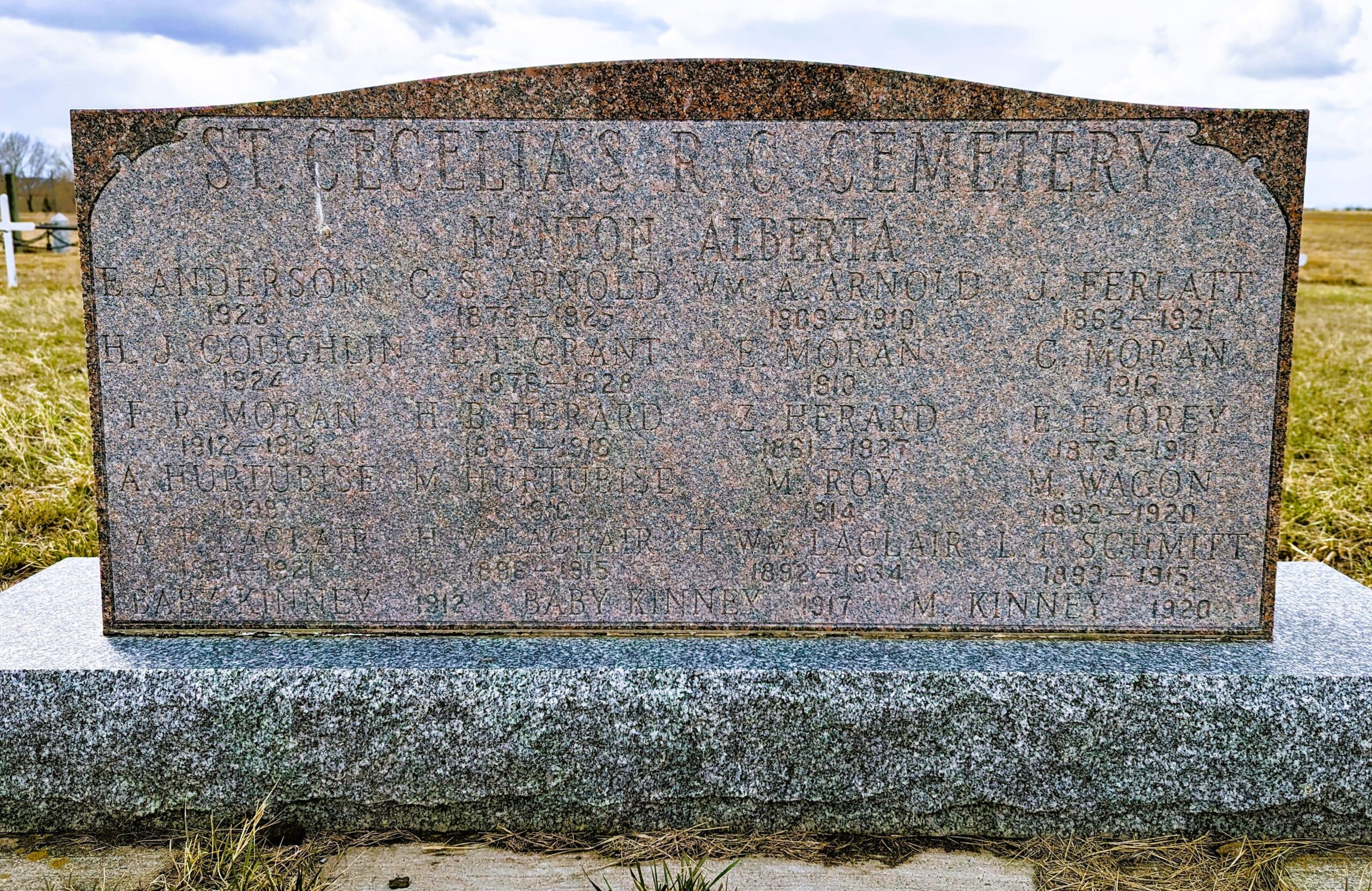
Nearest Populated Centre: Nanton,
Province: Alberta

Map Location

Latitude, Longitude
50.35880, -113.75916

Map Location

Search for:
RESET
Surname Given Name Born Died Age Photo(s) Cemetery Obituary Narrative R Code

The 25 most common surnames found in this cemetery.

loader

The 25 most common given names found in this cemetery.

loader

Other Cemeteries

Irricana United Church Cemetery (Rocky View County)

Hwy 567 & Range Rd 274 , Irricana , Alberta

Hillcrest Cemetery (Crowsnest Pass)

223 St , Hillcrest Mines , Alberta

Ouelletteville Cemetery (Wheatland County)

Twp Rd 230 just west of Rge Rd 222 , Cluny , Alberta

Travers Cemetery (Vulcan County)

Township Rd 154 and Range Rd 193 , Lomond , Alberta

St. Joseph's Cemetery (Schuler, Cypress County)

Twp Rd 162 and Rge Rd 13 , Schuler , Alberta

West Zion Mennonite Cemetery (Mountain View County)

2155 Twp Rd 304 , Carstairs , Alberta

Meadow Vale Cemetery (Ponoka County)

Township Road 430 W of Range Road 50 , Rimbey , Alberta

Fath Hill Cemetery (Vulcan County)

Rge Rd 529 west of Hwy 23 , Champion , Alberta

Hutton-Pandora Cemetery (Special Area No. 2)

Township Road 242 E of Highway 36 , Hutton , Alberta

Kin Coulee Cemetery (Medicine Hat)

Old Cemetery Rd SE , Medicine Hat , Alberta

Discover Alberta Ancestors