
412 Serviceberry Trail
Rockyford and its Cemeteries
The village of Rockyford was named by a chief surveyor of the Canadian Northern Railway Company. The main channel of the Serviceberry Creek was narrow and deep and could not be crossed without difficulty even with a saddle and horse. The indigenous people used the ‘rocky ford’ to cross the creek on their way from Gleichen to their camp in the sand hills west of Baintree. The surveyors found it by simply following an old prairie trail and used it while surveying for a right of way to Calgary in 1908.
The first general store was opened in 1912 by Theodore Wiens, who moved here with his family from Iowa. In 1913 the Canadian Northern Railway was built along with a small grain elevator built by Parrish and Heimbecker. In 1914 the post office, a bank and the public school began operating. In 1915 the hardware store opened. Another general store opened in 1916 and telephone service began in 1917. Various businesses opened over the next several years and many continue to this day.
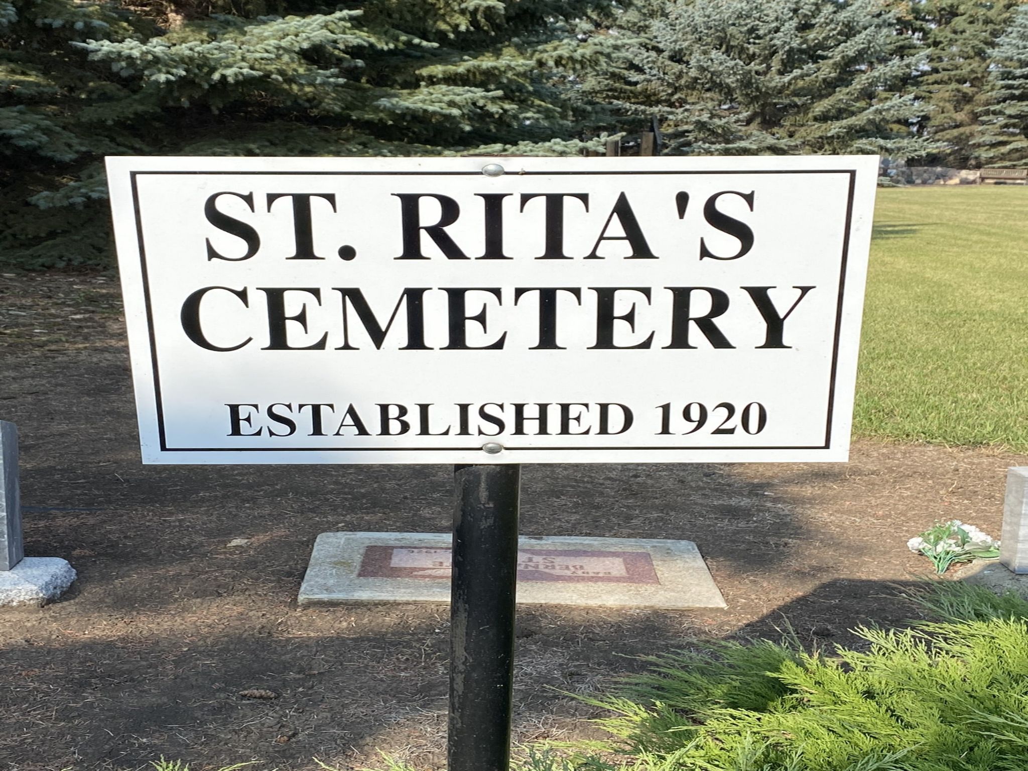
After several years of services being held in private homes, St. Rita’s Catholic church opened in 1918 on land donated by William Rudd. The Methodist church organized a pastoral charge in 1915 whose centre was in Tudor with services being held in schoolhouses. The church was built and dedicated on October 18, 1921. The church building was later moved to Rockyford. St. Rita’s cemetery is located directly west of the church while the Rockyford Union Cemetery is out of town about 3 km northwest, both on land donated by William Rudd.
Excerpted from “Where We Crossed the Creek and Settled” from contributor & AFHS member Sandi Miller.
Address
412 Serviceberry Trail
Nearest Populated Centre: Rockyford,
Province: Alberta
Map Location
Latitude, Longitude
51.23471, -113.14750
Map Location
| Surname | Given Name | Born | Died | Age | Photos | Cemetery | R Code |
|---|---|---|---|---|---|---|---|
The 25 most common surnames found in this cemetery.

The 25 most common given names found in this cemetery.