
Westridge Road; adjacent to Hwy 1
Strathmore is a town located in southern Alberta, Canada that is surrounded by Wheatland County. It is along the Trans-Canada Highway approximately 50 kilometres (30 mi) east of Calgary. The town began as a hamlet for the Canadian Pacific Railway (CPR) lines that were built in the area in 1883. The CPR named the town after one of its benefactors: Claude Bowes-Lyon, the Earl of Strathmore. The Earl’s granddaughter, Queen Elizabeth – as consort to King George VI – later passed through the community on the “Royal Train” in late May 1939.
A track-laying record was made between Strathmore and Cheadle when the railway was built. In one hour 1.6 km of steel was laid and – at the end of the ten-hour working day – the rails were laid to Cheadle, 14 km for a record. The passing of the Canadian government’s Dominion Lands Act in 1872, encouraging settlement, led to increases in Strathmore’s population and its importance as a rail supply stop.
Strathmore’s first school opened in 1908. The CPR railway tracks are now gone, the land having been subdivided.
In 2011, the Town of Strathmore celebrated its centennial – and released the book 100 Years of Memories: Celebrating Strathmore’s Centennial through Polished Publishing Group in early 2012.
Source: https://en.wikipedia.org/wiki/Strathmore%2C_Alberta
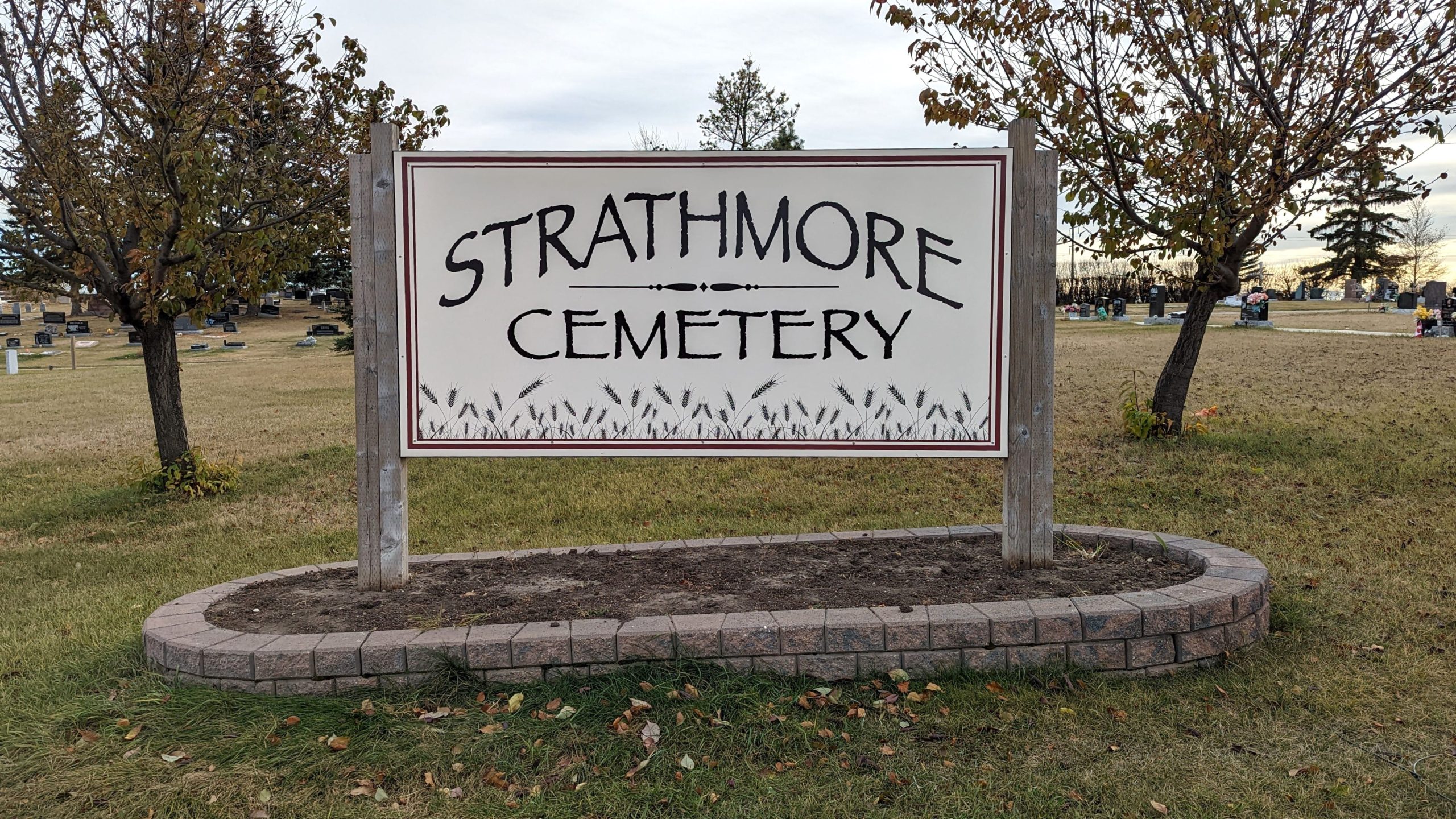
The Starthmore cemeteries are located on the S.W. 1/4 of Section 15 Township 24 Range 25 West of the 4th Meridian. The Strathmore cemeteries are adjacent and are situated on the western edge of the town. They are visible from the Trans Canada Highway.
Address
Westridge Road; adjacent to Hwy 1
Nearest Populated Centre: Strathmore,
Province: Alberta
Map Location
Latitude, Longitude
51.03828, -113.41851
Map Location
| Surname | Given Name | Born | Died | Age | Photos | Cemetery | R Code |
|---|---|---|---|---|---|---|---|
The 25 most common surnames found in this cemetery.

The 25 most common given names found in this cemetery.