Deaths

Longevity

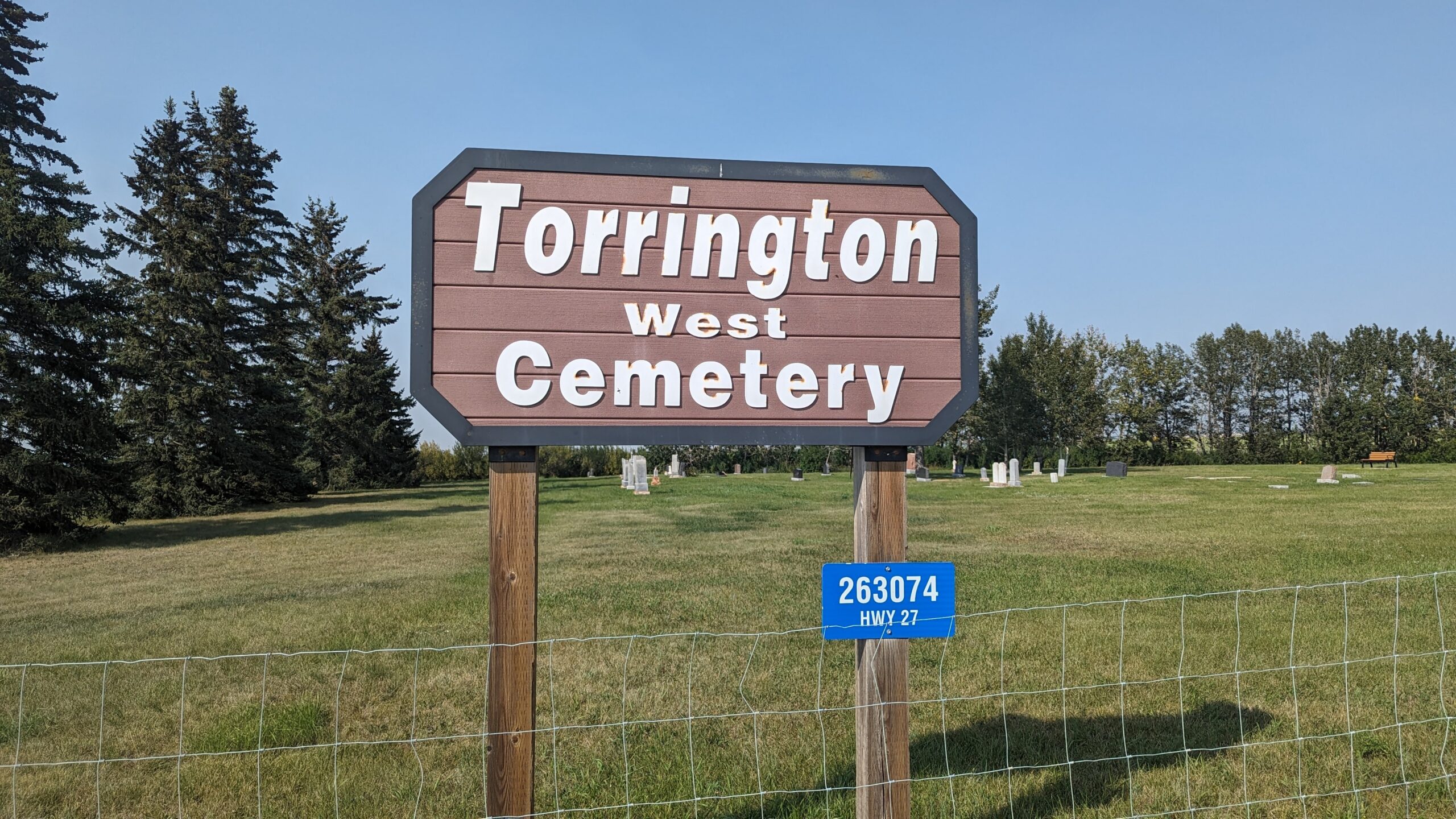
Address

263074 Hwy 27
Nearest Populated Centre: Torrington,
Province: Alberta

Map Location

Latitude, Longitude
51.79474, -113.64001

Map Location

Search for:
RESET
Surname Given Name Born Died Age Photos Cemetery R Code

The 25 most common surnames found in this cemetery.

loader

The 25 most common given names found in this cemetery.

loader

Other Cemeteries

Friedens Cemetery (Special Area No. 2)

Range Road 151 and Township Road 300 , Hanna , Alberta

Chinook Cemetery (Special Area No. 3)

Range Road 74 and Township Road 290 , Chinook (NW of Cereal) , Alberta

Ferrybank Cemetery (Ponoka County)

Highway 795 and Range Road 251 , Ponoka , Alberta

Mount Davis Cemetery (Kneehill County)

314035 Range Rd 250 , Three Hills , Alberta

Valley View Lutheran Cemetery (Forty Mile County)

Township Road 84 and Range Road 77 , Seven Persons , Alberta

Trochu Baptist Cemetery (Kneehill County)

Highway 21N and North Road (Township Road 332A) , Trochu , Alberta

Leavitt Cemetery (Cardston County)

Range Road 265 N of Highway 5 , Leavitt , Alberta

Champion Cemetery (Vulcan County)

1 St South , Champion , Alberta

Beiseker Community Cemetery (Rocky View County)

Range Rd 262, south of Township Rd 282 , Beiseker , Alberta

Arthurvale Cemetery (Red Deer County)

Range Road 250 & Township Road 350 , Elnora , Alberta

Discover Alberta Ancestors