Deaths

Longevity

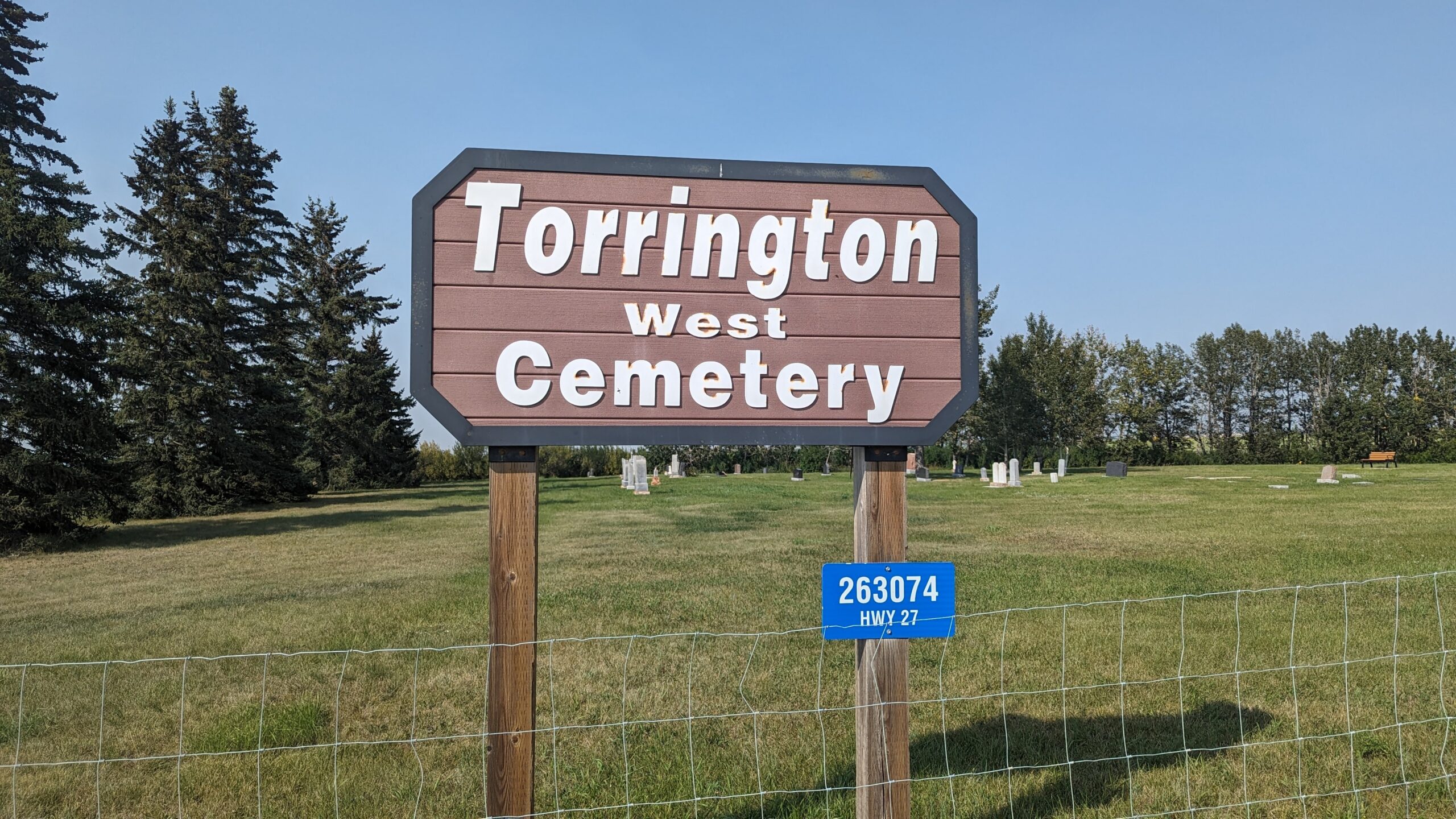
Address

263074 Hwy 27
Nearest Populated Centre: Torrington,
Province: Alberta

Map Location

Latitude, Longitude
51.79474, -113.64001

Map Location

Search for:
RESET
Surname Given Name Born Died Age Photo(s) Cemetery Obituary Narrative R Code

The 25 most common surnames found in this cemetery.

loader

The 25 most common given names found in this cemetery.

loader

Other Cemeteries

Schlaht Cemetery (Cypress County)

Township Road 112 and Range Road 21 , Irvine , Alberta

Granum Cemetery (MD of Willow Creek)

Highway 19 and Service Road 2 E; next to Highway 2 , Granum , Alberta

Evangelical Lutheran Church of Zion (Forty Mile County)

Township Road 62 and Range Road 55, east of Highway 889 , Manyberries , Alberta

Etzikom Cemetery (Forty Mile County)

Township Road 64, Range Road 91, Highway 885 , Etzikom , Alberta

Beiseker Level Land Seventh-day Adventist Cemetery (Rocky View County)

Range Rd 242, south of Highway #9 , Beiseker , Alberta

Bow City Cemetery (Newell County)

Rge Rd 165 north of Hwy 539 , Brooks , Alberta

Coleman Union Cemetery (Crowsnest Pass)

27 Ave & 28 Ave , Coleman , Alberta

Hartleyville Cemetery (Cardston County)

Township Road 52 W of Range Road 275 , Hartleyville , Alberta

Cleverville Cemetery (Vulcan County)

Rge Rd 240 south of Twp Rd 154 , Champion , Alberta

Discover Alberta Ancestors