Deaths

Longevity

Address

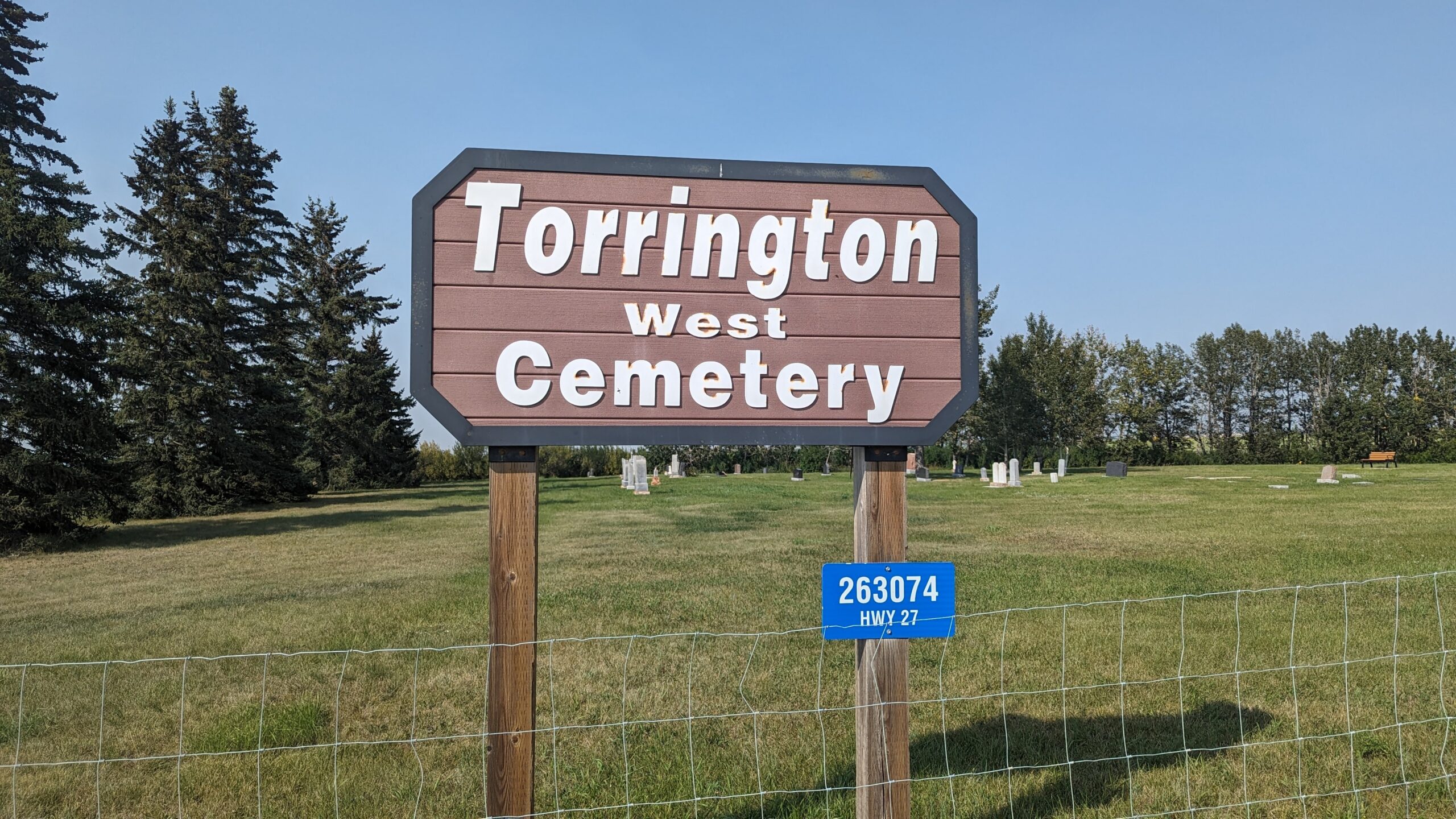
263074 Hwy 27
Nearest Populated Centre: Torrington,
Province: Alberta

Map Location

Latitude, Longitude
51.79474, -113.64001

Map Location

Search for:
RESET
Surname Given Name Born Died Age Photo(s) Cemetery Obituary Narrative R Code

The 25 most common surnames found in this cemetery.

loader

The 25 most common given names found in this cemetery.

loader

Other Cemeteries

Gleichen Cemetery (Wheatland County)

Highway 547 north of town , Gleichen , Alberta

Lobley Cemetery (Mountain View County)

Range Rd 61 south of Township Rd 344 , Sundre , Alberta

Bunker Hill Cemetery (Wetaskiwin County)

463033 Range Road 33 S of Township Road 464 , Winfield , Alberta

Assumption Cemetery (Forty Mile County)

Range Rd 130, Township Rd 92 , Grassy Lake , Alberta

O Perfect Peace Cemetery (Vulcan County)

Range Road 212 between Township Roads 190 and 192 , Milo , Alberta

Mayton Cemetery (Mountain View County)

27359 Twp Rd 333 , Mayton , Alberta

Will Cemetery (Cypress County)

Township Road 153 and Range Road 11 , Schuler , Alberta

Sunnyside Cemetery (Forty Mile County)

105040 Twp Rd 12 (Range Rd 150 & Twp Rd 12) , Aden , Alberta

Livingstone Cemetery (MD of Pincher Creek)

Range Rd 15, North of Cowley , Cowley , Alberta

Discover Alberta Ancestors