Deaths

Longevity

Address

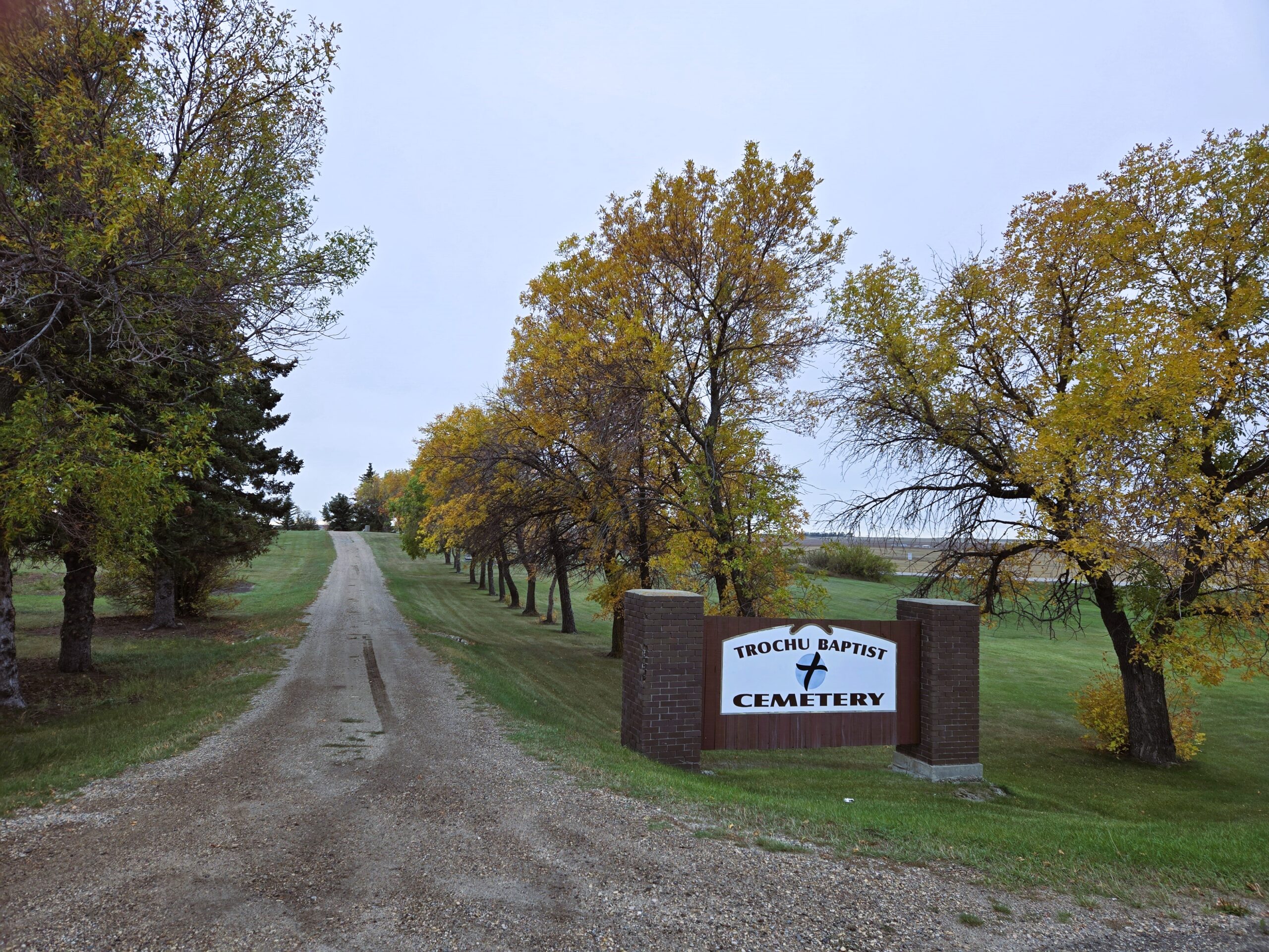
Highway 21N and North Road (Township Road 332A)
Nearest Populated Centre: Trochu,
Province: Alberta

Map Location

Latitude, Longitude
51.83023, -113.24067

Map Location

Search for:
RESET
Surname Given Name Born Died Age Photos Cemetery R Code

The 25 most common surnames found in this cemetery.

loader

The 25 most common given names found in this cemetery.

loader

Other Cemeteries

Vulcan Cemetery (Vulcan County)

Highway 534 and 10th Avenue North , Vulcan , Alberta

Zion Baptist Cemetery (Hesketh, Kneehill County)

Range Road 222A south of Highway 9 , Hesketh , Alberta

Hutterian Brethren of Elkwater (Cypress County)

Township Road 100 and Range Road 22 , Elkwater , Alberta

Pleasant Valley Pioneer Cemetery (Red Deer County)

Range Road 270 N of Township Road 350 , Knee Hill Valley , Alberta

Huntsville Cemetery (Lethbridge County)

Range Road 204 & Township Road 112 , Iron Springs , Alberta

Etzikom Cemetery (Forty Mile County)

Township Road 64, Range Road 91, Highway 885 , Etzikom , Alberta

Alder Flats Cemetery (Wetaskiwin County)

Township Road 460 W of Range Road 74 , Buck Lake , Alberta

Pakowki Cemetery (Forty Mile County)

Township Road 52 and Range Road 73 , Orion , Alberta

Ebenezer Cemetery (Forty Mile County)

Township Road 84 and Range Road 71 , Seven Persons , Alberta

Congregational Matthaus Cemetery (Cypress County)

Rge Rd 23 between Twp Rs 154 and 160 , Schuler , Alberta

Discover Alberta Ancestors