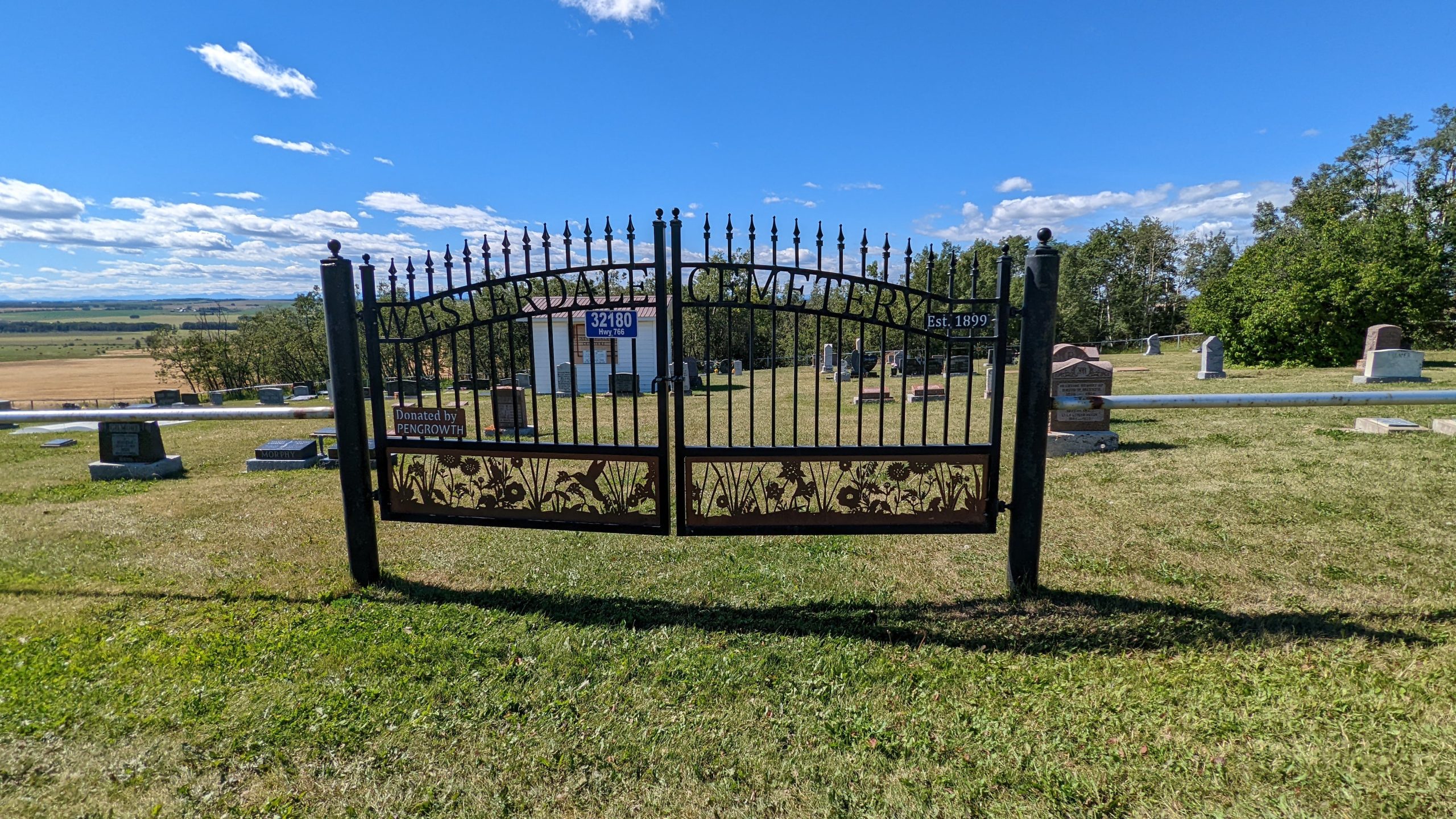
Deaths

Longevity

Address

32180 Hwy 766
Nearest Populated Centre: Westerdale,
Province: Alberta

Map Location

Latitude, Longitude
51.73649, -114.33309

Map Location

Search for:
RESET
Surname Given Name Born Died Age Photos Cemetery R Code

The 25 most common surnames found in this cemetery.

loader

The 25 most common given names found in this cemetery.

loader

Other Cemeteries

Bowville Cemetery (Vulcan County)

Range Road 220 and Township Road 132 , Bowville , Alberta

Linden Cemetery (Kneehill County)

303081 Range Road 253 , Linden , Alberta

Scotfield Cemetery (Special Area No. 2)

1st St East , Scotfield , Alberta

Chedderville Cemetery (Clearwater County)

373002 Highway 22 , Chedderville , Alberta

Enchant Cemetery (MD of Taber)

142044 Range Road 185 , Enchant , Alberta

Manyberries Cemetery (Forty Mile County)

Highway 61 (Red Coat Trail) and Range Road 53b , Manyberries , Alberta

Pleasant View Cemetery (Forty Mile County)

8 km west of junction of Highway 501 and Range Road 63 , Manyberries , Alberta

Knee Hill Valley Divide Cemetery (Red Deer County)

Twp Rd 350 west of Rge Rd 264 , Knee Hill Valley , Alberta

Sutherland Cemetery (Newell County)

Range Road 141 and Township Road 191 , Brooks , Alberta

St. Andrews Cemetery (Cochrane, Rocky View County)

427 Centre Ave N , Cochrane , Alberta

Discover Alberta Ancestors