
Highway 502 S of Township Road 31A
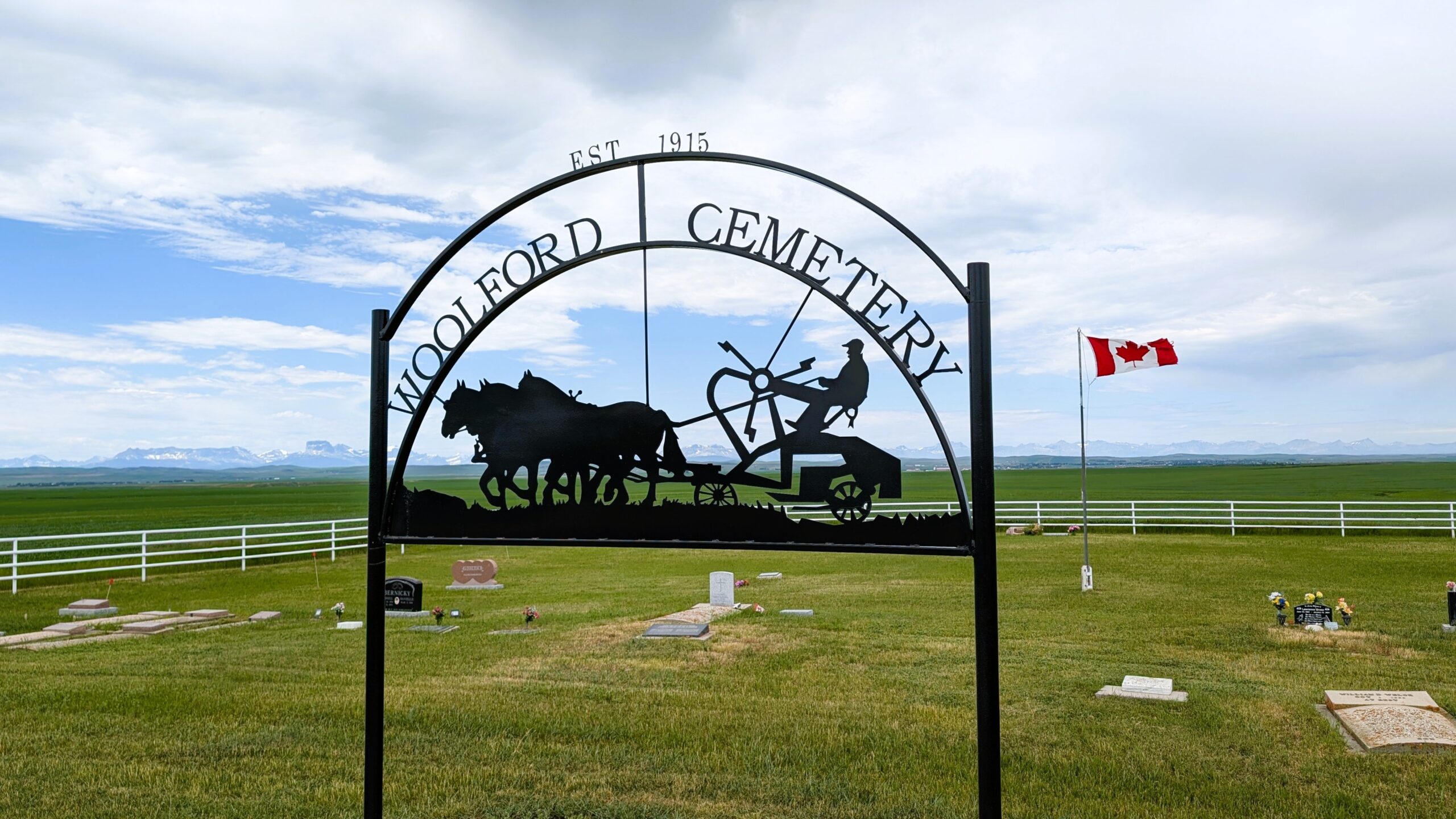
Woolford is a hamlet on Secondary Highway 503, approximately 60 kilometres southwest of Lethbridge. It was named after Thomas Woolford. At the beginning of the twentieth century, English-born Thomas Henry Woolford (1856-1944), his wife Hanna, and their children, late of Utah, settled near a ford on the St. Mary River southwest of Cardston. The ford became known as the Woolford Ford, and the settlement that developed was called Woolford. Thomas and Hanna were active in the church of Jesus Christ of Latter-Day Saints, and in 1911 they returned to Utah. Woolford Provincial Park shares this hamlet’s name.
Address
Highway 502 S of Township Road 31A
Nearest Populated Centre: Woolford,
Province: Alberta
Map Location
Latitude, Longitude
49.19458, -113.16523
Map Location
| Surname | Given Name | Born | Died | Age | Photos | Cemetery | R Code |
|---|---|---|---|---|---|---|---|
The 25 most common surnames found in this cemetery.

The 25 most common given names found in this cemetery.