
Highway 884 just S of Youngstown
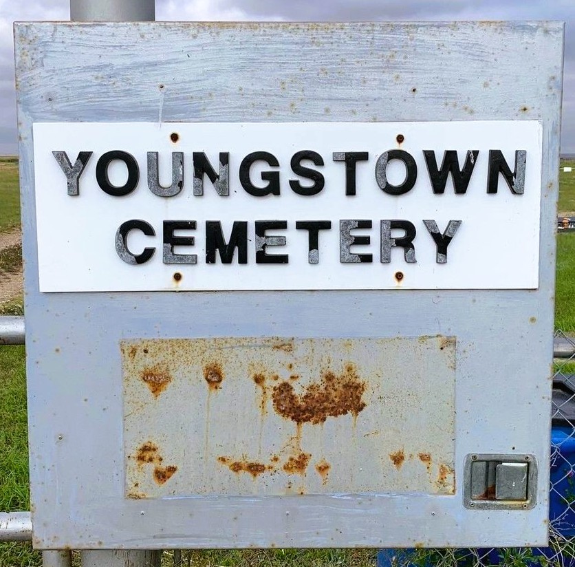
Youngstown Cemetery, located near the village of Youngstown in Alberta, dates back to the early 20th century. The village itself was established in 1913, during a period of rapid settlement and development in the Canadian prairies. The cemetery soon followed, serving as the final resting place for many of the area’s early settlers and their descendants.
Youngstown is a small village with a population of just over 150 residents. Youngstown’s history dates back to the early 20th century when it was established as a railway town. The Canadian Pacific Railway played a pivotal role in its development, providing a vital link for settlers and businesses. The village was officially incorporated in 1913, and its name is believed to have been inspired by Youngstown, Ohio, reflecting the optimism and aspirations of its founders. Residents take pride in their village, and this is evident in the well-maintained public spaces and the numerous community events that bring people together. The annual Youngstown Fair is a highlight, featuring agricultural exhibits, local crafts, and family-friendly activities that celebrate the village’s rural heritage. The nearby Hand Hills Ecological Reserve is a must-visit for nature lovers. This protected area is home to diverse flora and fauna, including rare plant species and migratory birds. It’s an ideal spot for a day trip, where visitors can immerse themselves in the natural beauty and tranquility of the region.
While Youngstown’s economy is primarily based on agriculture, there are opportunities for growth and diversification. Local farms produce a variety of crops and livestock, contributing to Alberta’s agricultural industry. Additionally, the village’s proximity to larger towns and cities provides access to broader economic opportunities and services.
Address
Highway 884 just S of Youngstown
Nearest Populated Centre: Youngstown,
Province: Alberta
Map Location
Latitude, Longitude
51.51864, -111.20163
Map Location
| Surname | Given Name | Born | Died | Age | Photos | Cemetery | R Code |
|---|---|---|---|---|---|---|---|
The 25 most common surnames found in this cemetery.

The 25 most common given names found in this cemetery.