The Forgotten Corner
History of the communities of Comrey, Catchem, Hooper-Pendland, Onefour, Wild Horse
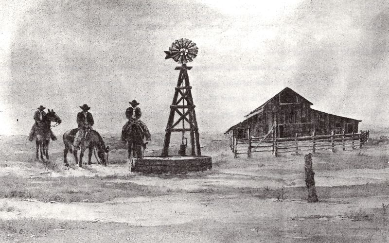
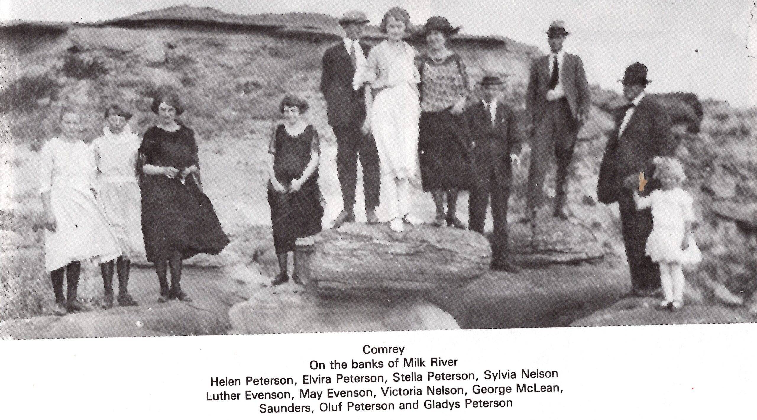
Comrey was established around 1910. Located in the sparsely populated and seldom visited southeast corner of the province, it was more of a center or reference point for a large district than a true town. The sense of isolation in these vast open spaces is overwhelming, and it’s a testament to the strong character of the old pioneers who chose to live in such an out of the way place. Today, there are only a few scattered farms here and there.
Onefour was a research substation of Agriculture and Agri-Food Canada that focused on forage and cattle data. This locality is located in the extreme Southeast of southern Alberta within Cypress County. The 42,600-acre ranch, located about 2.5 hours south of Medicine Hat, is characterized by abundant sunshine, low precipitation, extremes in temperature, and frequent high winds.
Wild Horse is an unincorporated community in southern Alberta within Cypress County. It is located on Highway 41, approximately 120 km southeast of Medicine Hat. Wild Horse also serves as a port of entry into the U.S. state of Montana as it is located at a border crossing with the United States. The wild horses of Alberta’s eastern slopes are remnants of an era when horses were used for logging and hunting. Of no further use as technology advanced, they were let loose and became feral. A century later their ancestors remain.
Address
Community: Comrey
Province: Alberta
Map Location
Latitude, Longitude
49.121600, -112.290540
Map Location
| Surname | Given Name | Book Title | Call No. | Page No. |
|---|---|---|---|---|

