
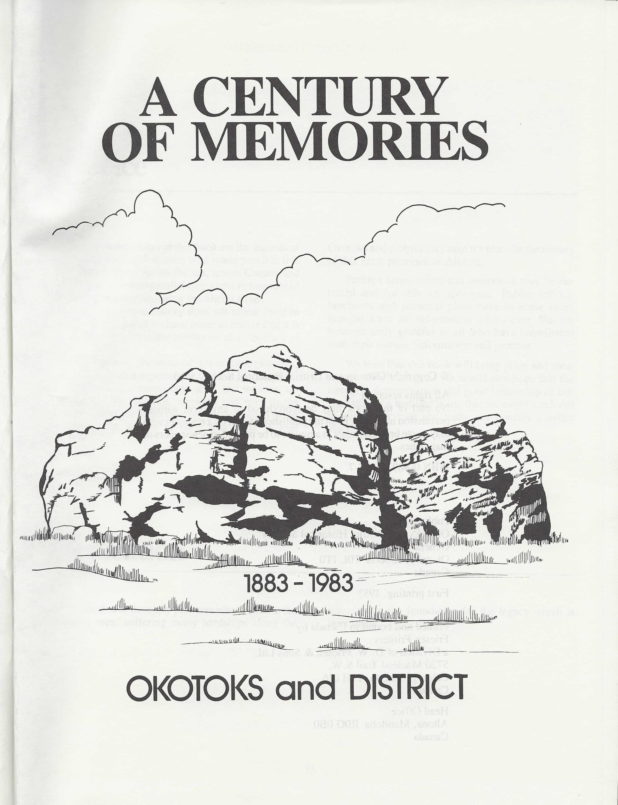
Century of Memories Okotoks & District 1883-1983
Okotoks, Alberta, has a rich history that stretches from Indigenous settlement thousands of years ago to its growth as a modern town south of Calgary. Below is a detailed 500‑word account of its development.
Early Indigenous Presence
Long before European settlers arrived, the Blackfoot Confederacy, Tsuut’ina, and Stoney Nakoda peoples lived in the Okotoks area. They followed a nomadic lifestyle, moving with the bison herds that sustained their communities. The name Okotoks itself comes from the Blackfoot word Okatok, meaning “rock,” a reference to the massive glacial erratic known locally as Big Rock. This enormous boulder, transported from the Rocky Mountains during the last ice age, became a landmark and gathering place for Indigenous peoples.
European Settlement and the Macleod Trail
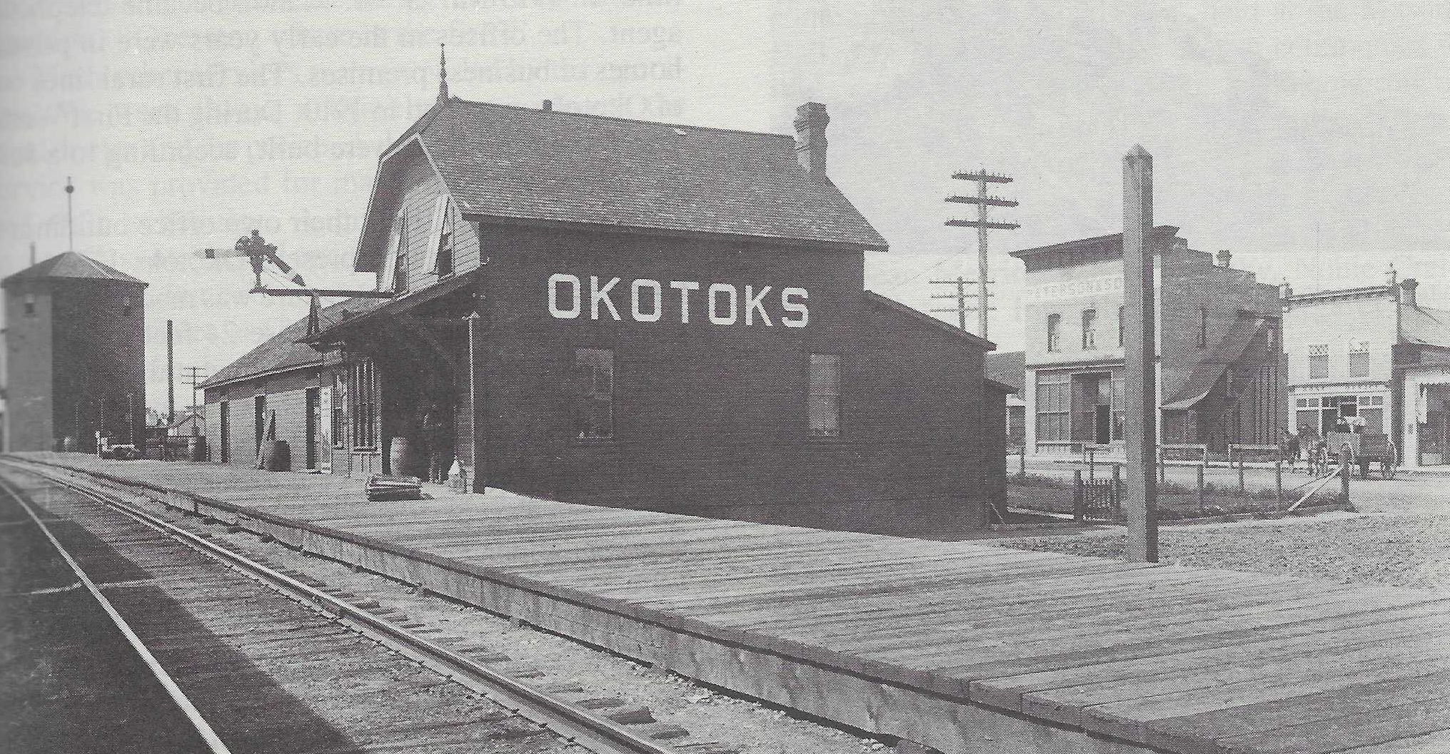
By the 1880s, European settlers began arriving in the region. Okotoks became a key stop along the Macleod Trail, a wagon route connecting Fort Macleod to Calgary. A “stopping house” was established here, offering food and lodging to travelers. The Sheep River crossing made Okotoks a natural hub for settlement, trade, and transport.
Incorporation and Early Growth
Okotoks was officially incorporated as a village in 1899 and became a town in 1904. Its early economy revolved around agriculture, ranching, and milling. The Okotoks sawmill, built in the late 19th century, was one of the largest in western Canada at the time, processing timber from nearby forests. The railway’s arrival further boosted growth, connecting Okotoks to Calgary and beyond.
The Role of Big Rock
The Okotoks Erratic (Big Rock) remained central to the town’s identity. Beyond its geological significance, it carried cultural meaning for Indigenous peoples and later became a symbol of the town itself. Today, Big Rock is protected as a heritage site and continues to attract visitors.
20th Century Development
Throughout the 20th century, Okotoks evolved from a small agricultural service town into a growing community. The Sheep River provided water and recreation, while the surrounding foothills offered fertile land for farming. By mid‑century, Okotoks had established schools, churches, and businesses, serving both local residents and the wider Foothills region.
The town also faced challenges. Flooding along the Sheep River occasionally disrupted life, and economic shifts required adaptation. Yet Okotoks maintained its role as a service center for ranchers and farmers in southern Alberta.
Modern Expansion
In the late 20th and early 21st centuries, Okotoks experienced rapid growth due to its proximity to Calgary, just 20 km to the north. Families seeking small‑town living with access to city amenities flocked to the area. The population expanded from a few thousand in the mid‑1900s to over 30,000 by 2021.
Okotoks became known for its sustainability initiatives, including water conservation policies and limits on urban sprawl. The town embraced its motto: Historic Past, Sustainable Future. Cultural facilities like the Okotoks Museum and Archives preserve its heritage, while recreational amenities and arts programs foster community life.
Today’s Okotoks
Modern Okotoks balances its historic roots with contemporary growth. It remains proud of its Indigenous heritage, agricultural foundation, and the enduring presence of Big Rock. At the same time, it has become a vibrant commuter town with thriving schools, businesses, and cultural institutions. Its history reflects the broader story of Alberta: Indigenous stewardship, pioneer settlement, resource development, and modern expansion.
In summary: Okotoks began as a vital Indigenous gathering place, grew into a pioneer settlement along the Macleod Trail, and today thrives as a dynamic town blending history with sustainable growth.
Address
Community: Okotoks
Province: Alberta
Map Location
Latitude, Longitude
50.725502840142525, -113.9756045995062
Map Location
| Surname | Given Name | Book Title | Call No. | Page No. |
|---|---|---|---|---|