
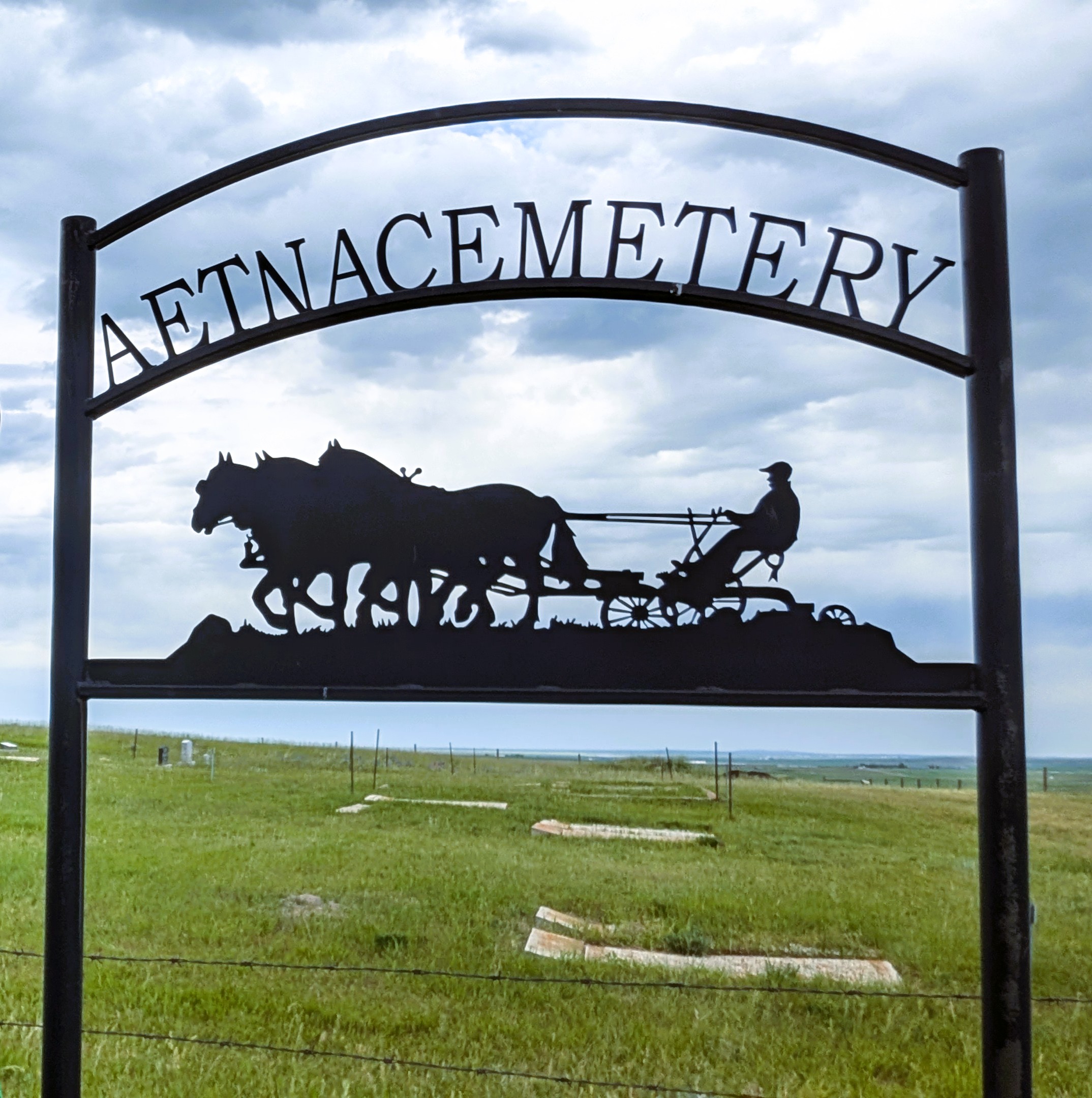
Range Road 251B SW of Town of Aetna
Aetna is a hamlet east of Secondary Highway 501, approximately 70 kilometres southwest of Lethbridge.
In 1893, Charles Ora Card (for whom the town of Cardston was named) and other members of the Church of Jesus Christ of Latter-Day Saints met to organize a new ward for the church a short distance from its centre at Cardston. John W. Taylor, who served on the church’s Quorum of 12 Apostles, a governing body, suggested the name Aetna, as one of the nearby hills (now called Buffalo Hill) reportedly reminded him of the Sicilian volcano, Mount Aetna. A Post Office opened at Aetna in 1900.
Address
Range Road 251B SW of Town of Aetna
Nearest Populated Centre: Aetna,
Province: Alberta
Map Location
Latitude, Longitude
49.1163, -113.2707
Map Location
| Surname | Given Name | Born | Died | Age | Photos | Cemetery | R Code |
|---|---|---|---|---|---|---|---|
The 25 most common surnames found in this cemetery.

The 25 most common given names found in this cemetery.