
Range Rd 233 just south of Twp Rd 205
Arrowwood is the northern-most village in Vulcan County, Alberta, and is located on Highway #547 – 17 km south of Highway #1 or 100 km east of Calgary on Highways 22x & 901. The village is also located 4km south of the Siksika First Nation near Gleichen – Siksika being the Blackfoot word for Blackfoot.
Situated in the historic lands of the Blackfoot people, the name Arrowwood comes from the Blackfoot language – Mista Katpisko – meaning a wood village. East Arrowwood Creek took its name from the shrubs that grew nearby; common across North America, these shrubs bloom with white flowers in the springtime and grow to roughly 3 meters in height. As the name implies, these shrubs were traditionally used for arrow shafting. The community of Arrowwood in turn took its name from the creek and was incorporated as a Village in 1926.
The 2021 Census of Canada recorded the Village of Arrowwood as having a population of 188 people and 78 private dwellings. Visitors to the area will enjoy Blackfoot Crossing Historical Park, the Arrowwood Museum, Aspen Crossing, the Arrowwood Siphon & Wetlands, campgrounds and other attractions.
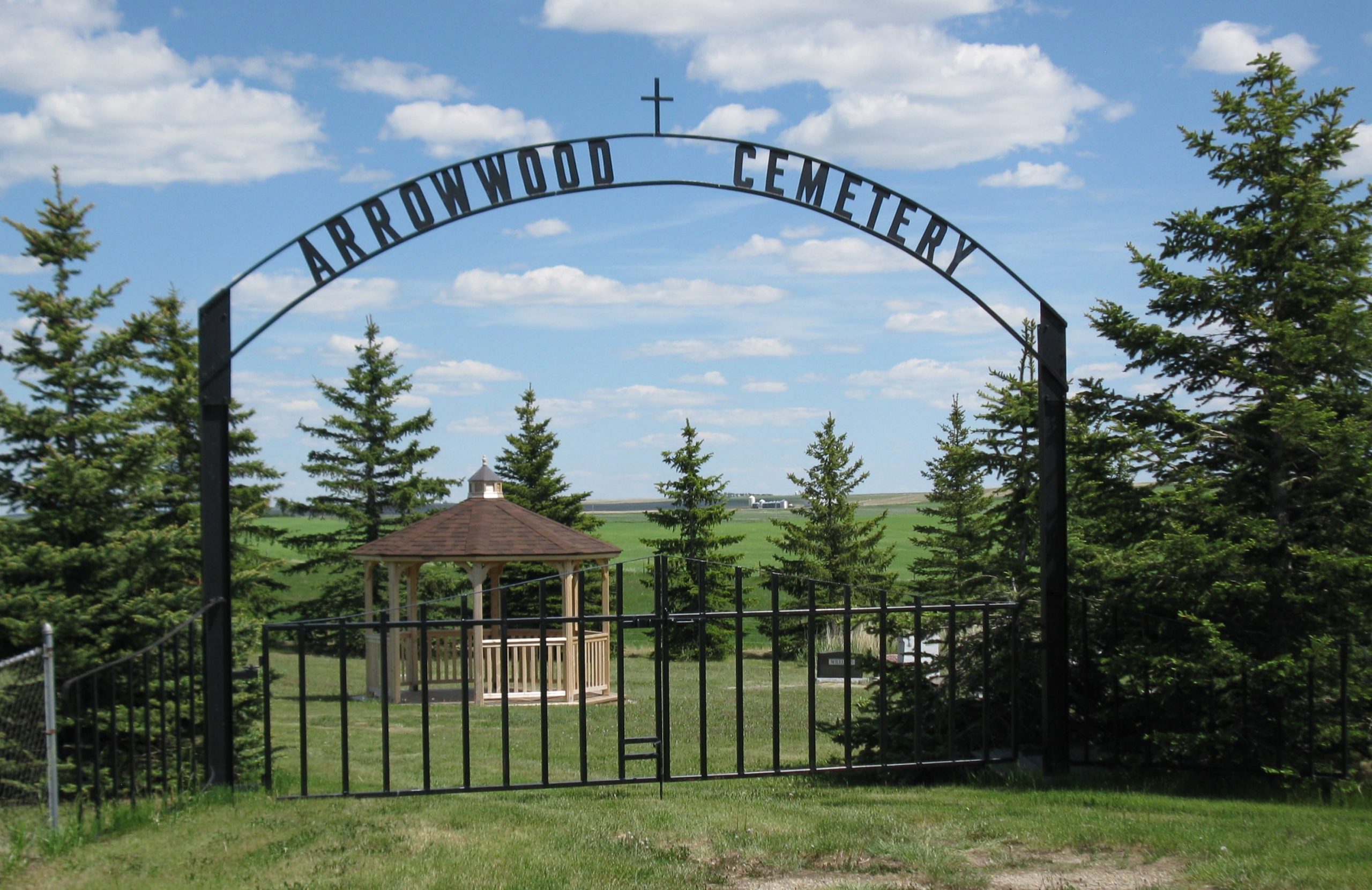
The Arrowwood Cemetery is located 1 mile east and 1 mile south of the village and had its origin in 1917. One of the earliest interments was in about 1918 and there are over 200 known burials.
Local History Book: Furrows of time: a history of Arrowwood, Shouldice, Mossleigh and Farrow, 1883-1982
Address
Range Rd 233 just south of Twp Rd 205
Nearest Populated Centre: Arrowwood,
Province: Alberta
Map Location
Latitude, Longitude
50.72114, -113.1209
Map Location
| Surname | Given Name | Born | Died | Age | Photos | Cemetery | R Code |
|---|---|---|---|---|---|---|---|
The 25 most common surnames found in this cemetery.

The 25 most common given names found in this cemetery.