Range Road 250 & Township Road 350

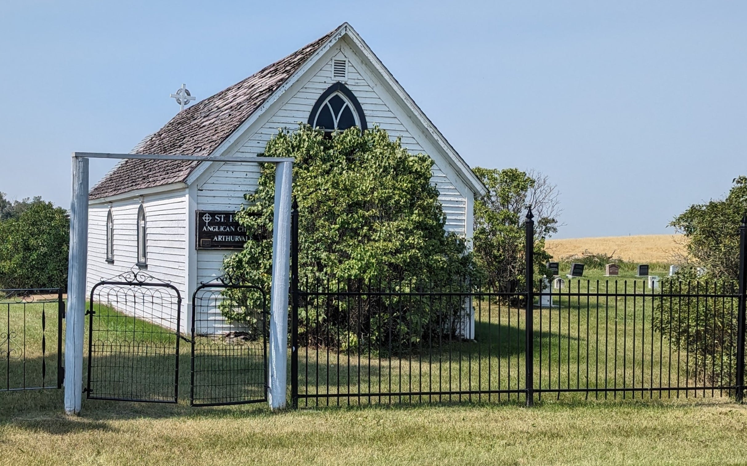
Arthurvale Cemetery, also known as St. Hilda’s Cemetery, is situated near the village of Elnora in Red Deer County. The cemetery is closely associated with nearby St. Hilda’s Anglican Church. Arthurvale Cemetery was established in 1923 when the owner of the property, Thomas J. Cook, granted permission for the burial of two young children who were not Roman Catholic. At that time, there was no cemetery specifically designated for non-Roman Catholics in the area. The nearby settlement of Elnora was originally organized as a village on January 2, 1908. At that time, it bore the name “Stewartville”. However, when a post office opened the following year, a unique name was required. Thus, the village was renamed Elnora in honor of the wives of the postmasters—Elinor & Nora. In the 2021 Census, Elnora housed 288 residents in 147 private dwellings.
As of 2023, there were 238 interments at Arthurvale Cemetery. A very few of these have assigned GPS coordinates.
Address
Range Road 250 & Township Road 350
Nearest Populated Centre: Elnora,
Province: Alberta
Map Location
Latitude, Longitude
51.96673, -113.40671
Map Location
| Surname | Given Name | Born | Died | Age | Photos | Cemetery | R Code |
|---|---|---|---|---|---|---|---|
The 25 most common surnames found in this cemetery.

The 25 most common given names found in this cemetery.

