(No Information Available)

Courtesy of Medicine Hat and District Genealogical Society (MHDGS)

Deaths

Longevity

Address

Township Road 91 and Range Road 91
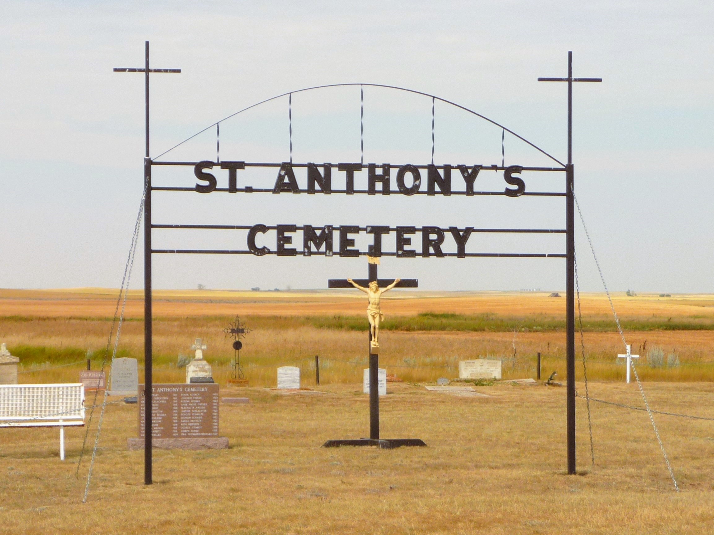
Nearest Populated Centre: Maleb,
Province: Alberta

Map Location

Latitude, Longitude
49.70723, -111.11426

Map Location

Search for:
RESET
Surname Given Name Born Died Age Photo(s) Cemetery Obituary Narrative R Code

The 25 most common surnames found in this cemetery.

loader

The 25 most common given names found in this cemetery.

loader

Other Cemeteries

Benalto Cemetery (Red Deer County)

Range Road 25 S of Township Road 385 , Benalto , Alberta

Bunker Hill Cemetery (Wetaskiwin County)

463033 Range Road 33 S of Township Road 464 , Winfield , Alberta

Salem Evangelical Cemetery Site 1 (Newburg, Cypress County)

Township Road 100 & Range Road 23 , Newburg , Alberta

St. Mary's Cemetery (Bluffton, Ponoka County)

Range Road 30 S of Highway 607 , Bluffton , Alberta

Cravath Corners Cemetery (Wardlow, Special Area No. 2)

Range Road 513 S of Cessford , Wardlow , Alberta

Poynter Memorial Cemetery (Barrhead County)

Range Road 35 N of Township Road 592 , Barrhead , Alberta

Dalum Lutheran Church Cemetery (Wheatland County)

194002 Highway 69 , Dalum , Alberta

Sacred Heart Cemetery (Faith, Forty Mile County)

Township Road 41 and Range Road 100 , Nemiskam , Alberta

Church of God Cemetery (Walsh, Cypress County)

Twp Rd 100 & Range Rd 12 (Graburn Road) , Walsh , Alberta

Faith Union Cemetery (Forty Mile County)

Township Road 42 and Highway 885 , Etzikom , Alberta

Discover Alberta Ancestors