Deaths

Longevity

Address

Range Road 113 N of Township Road 250
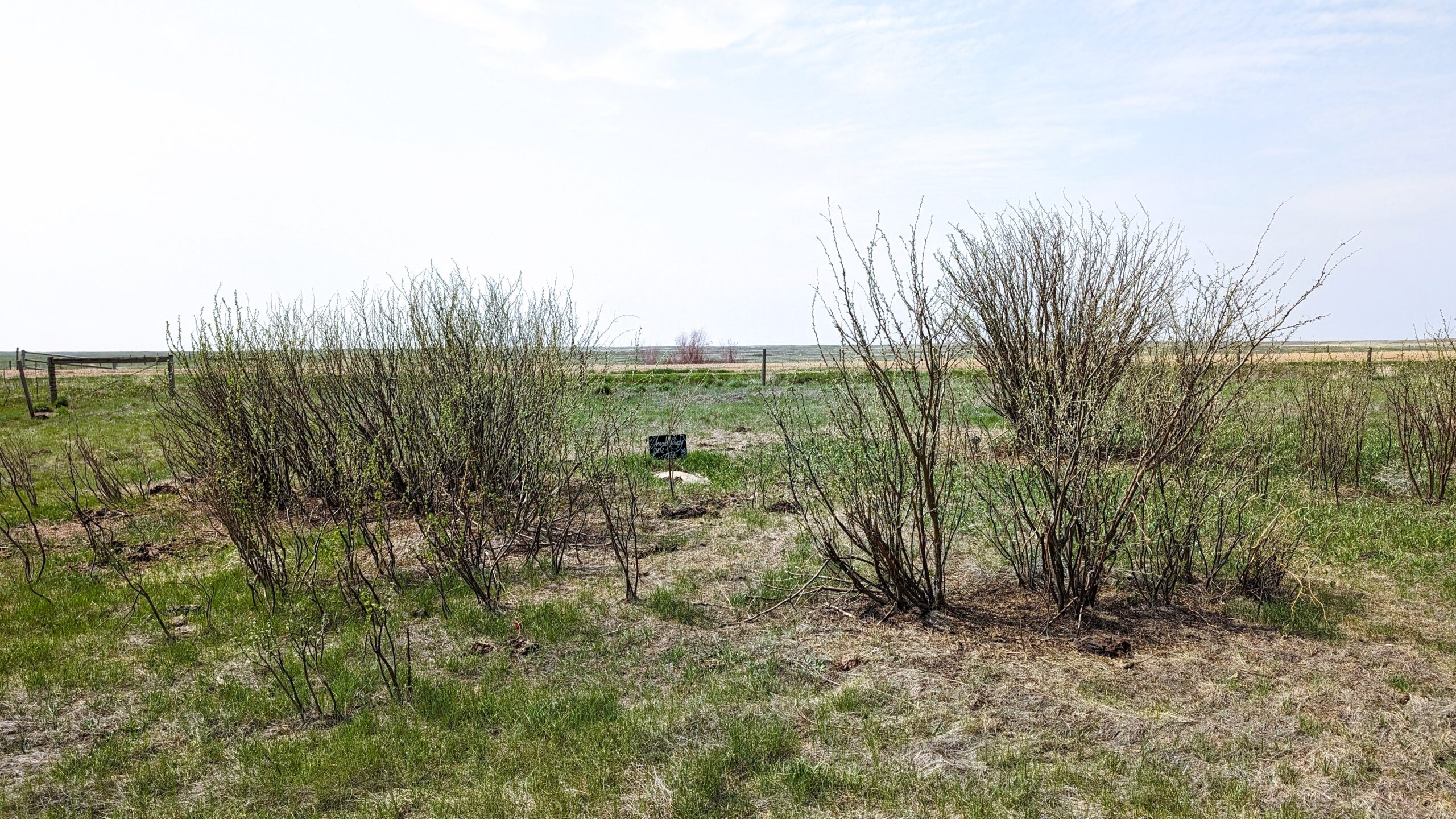
Nearest Populated Centre: Cessford,
Province: Alberta

Map Location

Latitude, Longitude
51.12564, -111.46923

Map Location

Search for:
RESET
Surname Given Name Born Died Age Photo(s) Cemetery Obituary Narrative R Code

The 25 most common surnames found in this cemetery.

loader

The 25 most common given names found in this cemetery.

loader

Other Cemeteries

Rockyford Union Cemetery (Wheatland County)

Twp Rd 263 & Range Rd 234 , Rockyford , Alberta

Adam Wolfer Family Cemetery (Cypress County)

Twp Rd 202 & Rge Rd 11 , Sandy Point , Alberta

Foothills Cemetery (Foothills County)

176044 402 Ave W , Diamond Valley , Alberta

Sharon Cemetery (Vulcan County)

26531-26501 Twp Rd 174, SW of Brant; NE corner of Rge Rd 270 & Twp Rd 174 , SW of Brant , Alberta

Manyberries Cemetery (Forty Mile County)

Highway 61 (Red Coat Trail) and Range Road 53b , Manyberries , Alberta

Elinor Cemetery (Lethbridge County)

Rge Rd 520 west of Twp Rd 23 , Barons , Alberta

Jewish Memorial Chapel Cemetery (Calgary)

101 17818 37 St SW , Calgary , Alberta

Caldwell - Belly River Cemetery (Cardston County)

Highway 800 S of Highway 505 , Mountain View , Alberta

Coffin Handle Butte Cemetery (Vulcan County)

top of Coffin Handle Butte east of Milo AB , Milo , Alberta

Blairmore Catholic Cemetery (Crowsnest Pass)

25th Ave , Blairmore , Alberta

Discover Alberta Ancestors