(No Information Available)

Courtesy of Medicine Hat and District Genealogical Society (MHDGS)

Deaths

Longevity

Address

Township Road 91 and Range Road 91
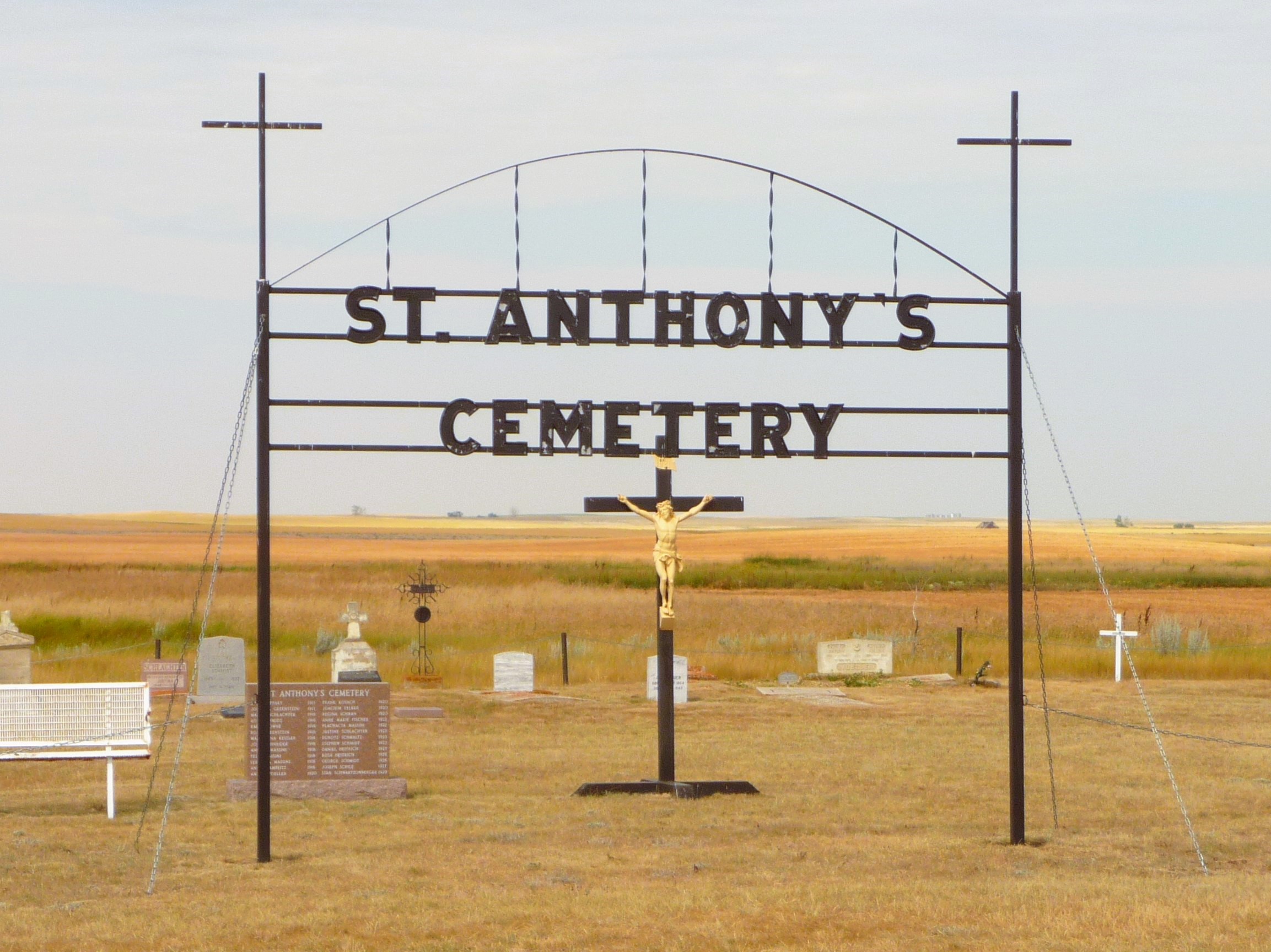
Nearest Populated Centre: Maleb,
Province: Alberta

Map Location

Latitude, Longitude
49.70723, -111.11426

Map Location

Search for:
RESET
Surname Given Name Born Died Age Photo(s) Cemetery Obituary Narrative R Code

The 25 most common surnames found in this cemetery.

loader

The 25 most common given names found in this cemetery.

loader

Other Cemeteries

Alston Cemetery (Vulcan County)

Hwy 527 & Twp Rd 142; SW of Champion , SW of Champion , Alberta

Foremost Cemetery (Forty Mile County)

Township Road 61 and Range Road 115 , Foremost , Alberta

Westcott Cemetery (Mountain View County)

Westcott Rd & Range Rd 32 , Westcott , Alberta

Hutterian Brethren of Roseglen Cemetery (Cypress County)

Twp Rd 180 and Rge Rd 22 , Hilda , Alberta

Evangelical Lutheran Church of Zion (Forty Mile County)

Township Road 62 and Range Road 55, east of Highway 889 , Manyberries , Alberta

St. Mary's Pioneer Cemetery (Calgary)

3157 Erlton St SW , Calgary , Alberta

Blackie Cemetery (Foothills County)

490001 Hwy 799 , Blackie , Alberta

Baptist Freedom Settlers Cemetery (Cypress County)

SH 515 & Range Rd 31 , Josephburg , Alberta

Walsh Community Cemetery (Cypress County)

Township Road 114 and Range Road 13 , Walsh , Alberta

Discover Alberta Ancestors