
Range Rd 242, south of Highway #9
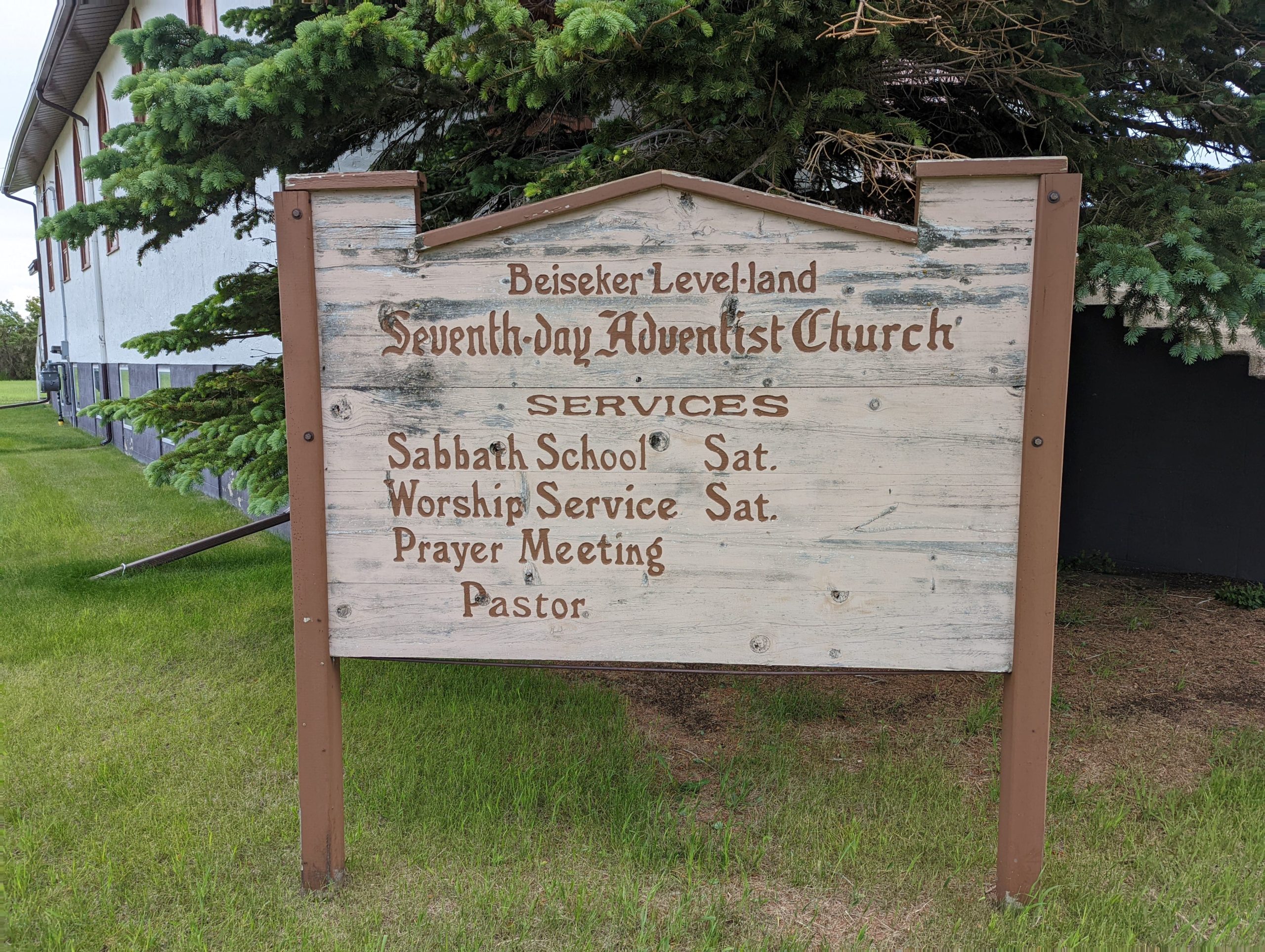
This cemetery is just north of the present day Beiseker Level Land Seventh-day Adventist Church, which is 2 kilometres south of the intersection of Highway #9 and RR242. The original name of this church, and cemetery, was the Rosebud Seventh-day Adventist Church and the Rosebud Seventh-day Adventist Cemetery.
On December 20, 2023, a suspected act of arson destroyed the church. Michael Bourgon, the manager of emergency and fire services for Wheatland County, says a call came in at 6:12 a.m. Wednesday. He said four fire departments immediately responded, but it was too late to save the church. The building was vacant at the time, so there were no injuries.
Source: https://www.cbc.ca/news/canada/calgary/beiseker-church-fire-1.7065991
Church & Cemetery History
“In the year 1908 a group of hardy individuals came from various parts of the Dakotas to settle in the Brushy Ridge area, 60 miles northeast of Calgary and 40 miles from any railroad. This point, 10 miles east and one mile south of the present site of Beiseker, a then non-existent town, became the nucleus of the Rosebud Seventh-day Adventist Church.
Upon their arrival at their new location, the winter snow began to fall, and on the first Saturday, the seventh day of the week, October 31, 1908, they gathered under the tent of Samuel Leiske, Sr. on the Andrew Tetz property for their first worship service.”
Source: “Beiseker’s Golden Heritage” book published by the Beiseker Historical Society, 1977, page 75
Address
Range Rd 242, south of Highway #9
Nearest Populated Centre: Beiseker,
Province: Alberta
Map Location
Latitude, Longitude
51.36609, -113.28605
Map Location
| Surname | Given Name | Born | Died | Age | Photos | Cemetery | R Code |
|---|---|---|---|---|---|---|---|
The 25 most common surnames found in this cemetery.

The 25 most common given names found in this cemetery.