
490001 Hwy 799
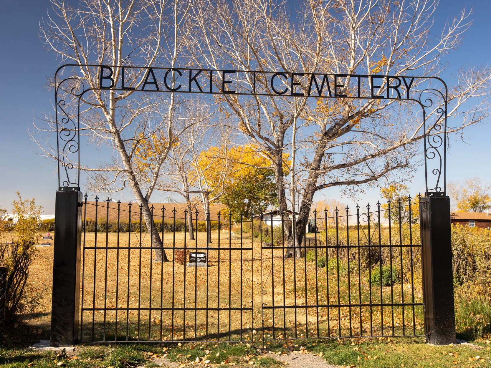
Blackie Cemetery is located in the hamlet of Blackie, pop. 360 as of the 2021 Census. The cemetery is located approximately 70 kilometres southeast of Calgary on Highway 799. Blackie is a very small cemetery, with approximately 200 persons interred.
This cemetery came into existence in 1919 although no graves were developed until 1921. The village came into existence about 1912. Many of the early graves have rotted or have been misplaced. A children’s section, in the southeast along the east boundary of the cemetery, shows that several graves exist, from the grass texture and land contour. However, no markers indicate individual grave sites.
Address
490001 Hwy 799
Nearest Populated Centre: Blackie,
Province: Alberta
Map Location
Latitude, Longitude
50.60810, -113.62945
Map Location
| Surname | Given Name | Born | Died | Age | Photos | Cemetery | R Code |
|---|---|---|---|---|---|---|---|
The 25 most common surnames found in this cemetery.

The 25 most common given names found in this cemetery.