Bloomsbury is an unincorporated community in central Alberta in the County of Barrhead No. 11, located 6 km north of Highway 33, approximately 100 kilometres northwest of Edmonton. The cemetery is located at the northeast corner of Township Road 604 and Range Road 35.

Deaths

Longevity

Address

Township Road 604 and Range Road 35
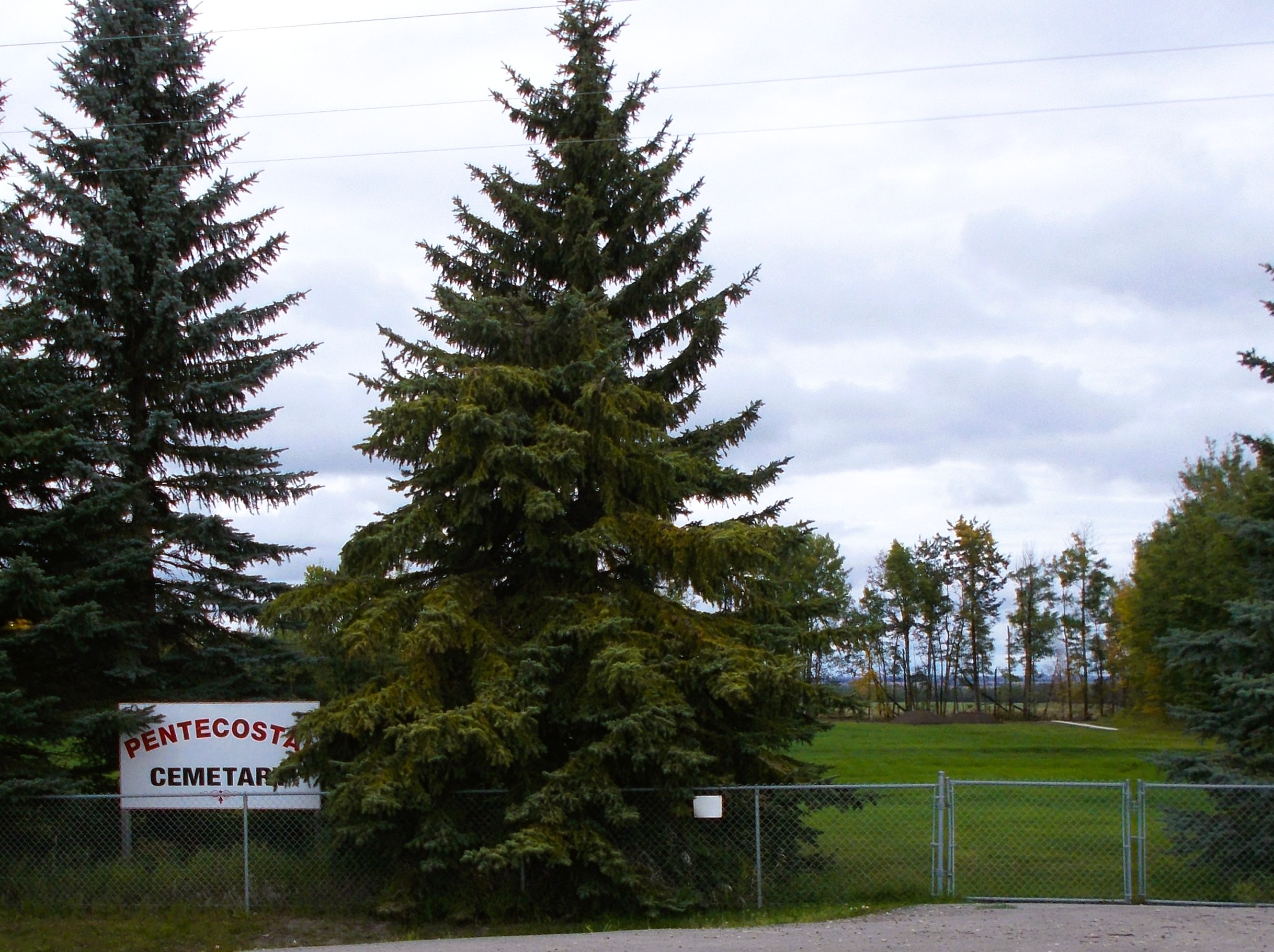
Nearest Populated Centre: Bloomsbury,
Province: Alberta

Map Location

Latitude, Longitude
54.21065, -114.42657

Map Location

Search for:
RESET
Surname Given Name Born Died Age Photos Cemetery R Code

The 25 most common surnames found in this cemetery.

loader

The 25 most common given names found in this cemetery.

loader

Other Cemeteries

Walker Cemetery (Cypress County)

Township Road 174 and Range Road 23 , Hilda , Alberta

Ebenezer Cemetery (Forty Mile County)

Township Road 84 and Range Road 71 , Seven Persons , Alberta

Poplar Valley Cemetery (Wetaskiwin County)

462061 Range Road 43A , Winfield , Alberta

Eagle Valley Cemetery (Mountain View County)

4455 Twp Rd 340 , Sundre , Alberta

Banff Town Cemetery (Banff National Park)

604 Buffalo Street , Banff , Alberta

Salem Evangelical Cemetery Site 2 (Newburg, Cypress County)

Township Road 102 & Range Road 23 , Newburg , Alberta

St. Peter's Lutheran Cemetery (Claresholm, MD of Willow Creek)

Twp Rd 130 & Rge Rd 263 , near Claresholm , Alberta

Sacred Heart Cemetery (Strathmore, Wheatland County)

616 Westridge Rd , Strathmore , Alberta

Neuburg Adventist Cemetery (Cypress County)

Twp Rd 101 & Rge Rd 32 , Neuberg (south of Irvine) , Alberta

St. Paul's Lutheran Cemetery (Special Area No. 2)

Range Road 162 and Township Road 302 , Hanna , Alberta

Discover Alberta Ancestors