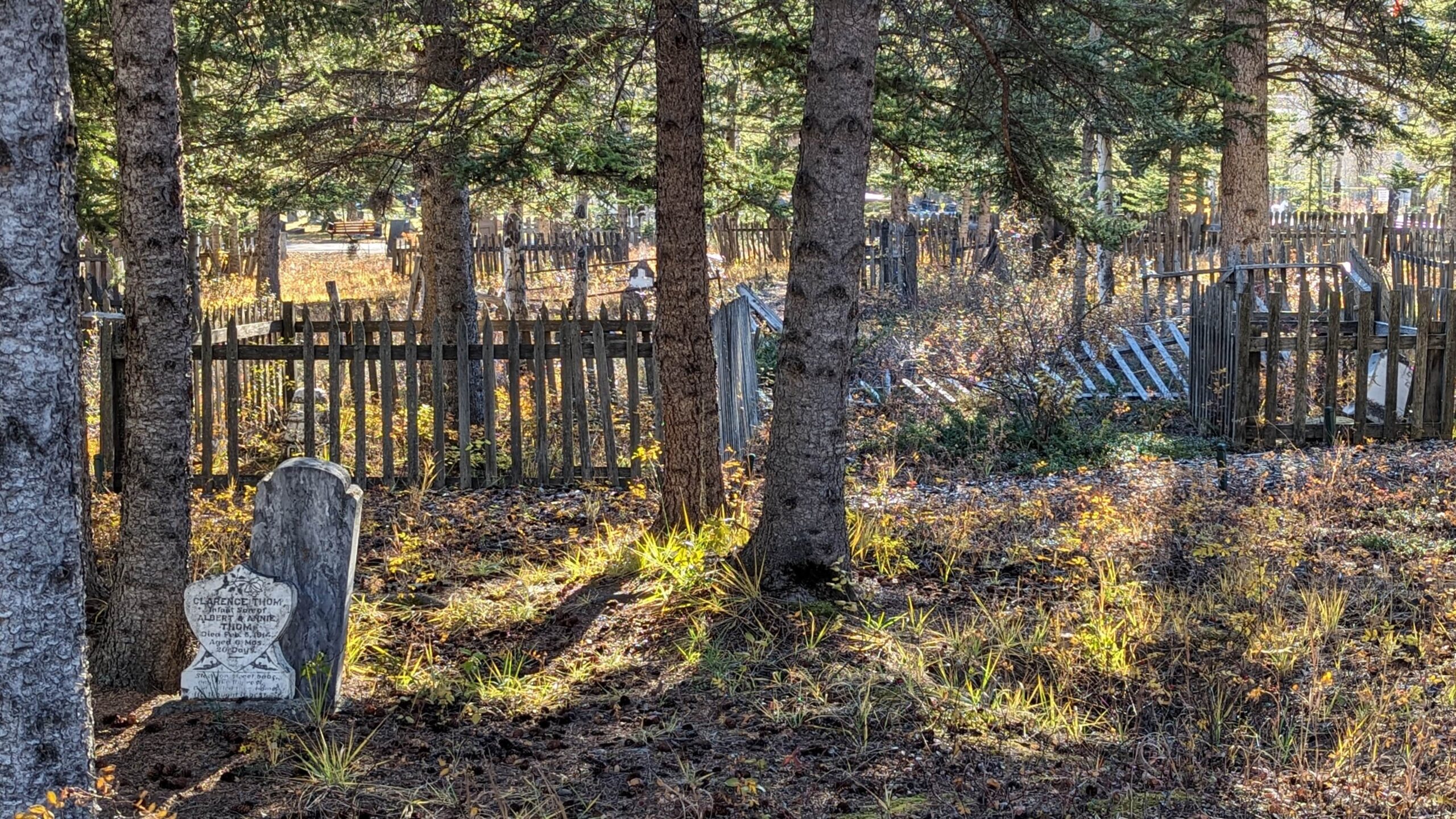
Deaths

Longevity

Address

1250 Palliser Trail
Nearest Populated Centre: Canmore,
Province: Alberta

Map Location

Latitude, Longitude
51.0929, -115.34162

Map Location

Search for:
RESET
Surname Given Name Born Died Age Photos Cemetery R Code

The 25 most common surnames found in this cemetery.

loader

The 25 most common given names found in this cemetery.

loader

Other Cemeteries

Rosebud Cemetery (Wheatland County)

Twp Rd 272 , Rosebud , Alberta

Leavings Cemetery (MD of Willow Creek)

2nd Ave East , Granum , Alberta

Nemiscam Cemetery (Forty Mile County)

Highway 501 (Red Coat Trail) and Range Road 103 , Nemiskam , Alberta

Aspelund Cemetery (Lacombe County)

Range Road 283 S of Township Road 394 / Aspelund Rd , Blackfalds , Alberta

Hill Spring Pioneer Cemetery (Cardston County)

Township Rd 43A , Hill Spring , Alberta

Christ Lutheran Cemetery (Red Deer County)

Township Road 370 and Range Road 32 , Spruce View , Alberta

Evangelical Lutheran Church of Zion (Forty Mile County)

Township Road 62 and Range Road 55, east of Highway 889 , Manyberries , Alberta

Bellevue Union Cemetery (Crowsnest Pass)

Larch Ave , Bellevue , Alberta

Cessford Cemetery (Special Area No. 2)

Highway 561 E of Highway 876 , Cessford , Alberta

New Home Cemetery (Forty Mile County)

Township Road 63 and Range Road 50A , Manyberries , Alberta

Discover Alberta Ancestors