Deaths

Longevity

Address

Township Road 370 and Range Road 32
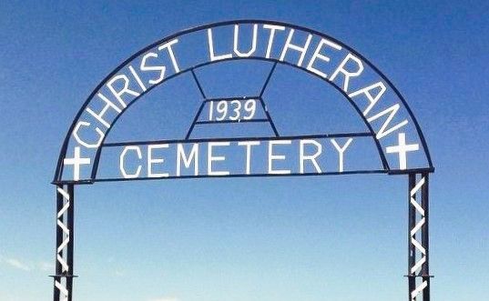
Nearest Populated Centre: Spruce View,
Province: Alberta

Map Location

Latitude, Longitude
52.14408, -114.33701

Map Location

Search for:
RESET
Surname Given Name Born Died Age Photo(s) Cemetery Obituary Narrative R Code

The 25 most common surnames found in this cemetery.

loader

The 25 most common given names found in this cemetery.

loader

Other Cemeteries

Ferrybank Cemetery (Ponoka County)

Highway 795 and Range Road 251 , Ponoka , Alberta

Highland Cemetery (Vulcan County)

Twp Rd 24 south of Rge Rd 542 , Vulcan , Alberta

Harmattan Anglican Cemetery (Mountain View County)

Range Rd 40 S of Hwy 27 , Harmattan , Alberta

St. Anne's Cemetery (Josephburg, Cypress County)

East of Range Road 30, south of Township Road 94 , Josephburg , Alberta

Banff Town Cemetery (Banff National Park)

604 Buffalo Street , Banff , Alberta

Knoll Cemetery (Michichi, Starland County)

Township Road 31-0 E of Highway 849 , Michichi , Alberta

Wayne Community Cemetery (Town Of Drumheller)

Excelsior Avenue , Wayne , Alberta

Burnbrae Cemetery (Ponoka County)

Township Road 444 east of Highway 771 , Homeglen , Alberta

Gleichen Cemetery (Wheatland County)

Highway 547 north of town , Gleichen , Alberta

Cravath Corners Cemetery (Wardlow, Special Area No. 2)

Range Road 513 S of Cessford , Wardlow , Alberta

Discover Alberta Ancestors