Deaths

Longevity

Address

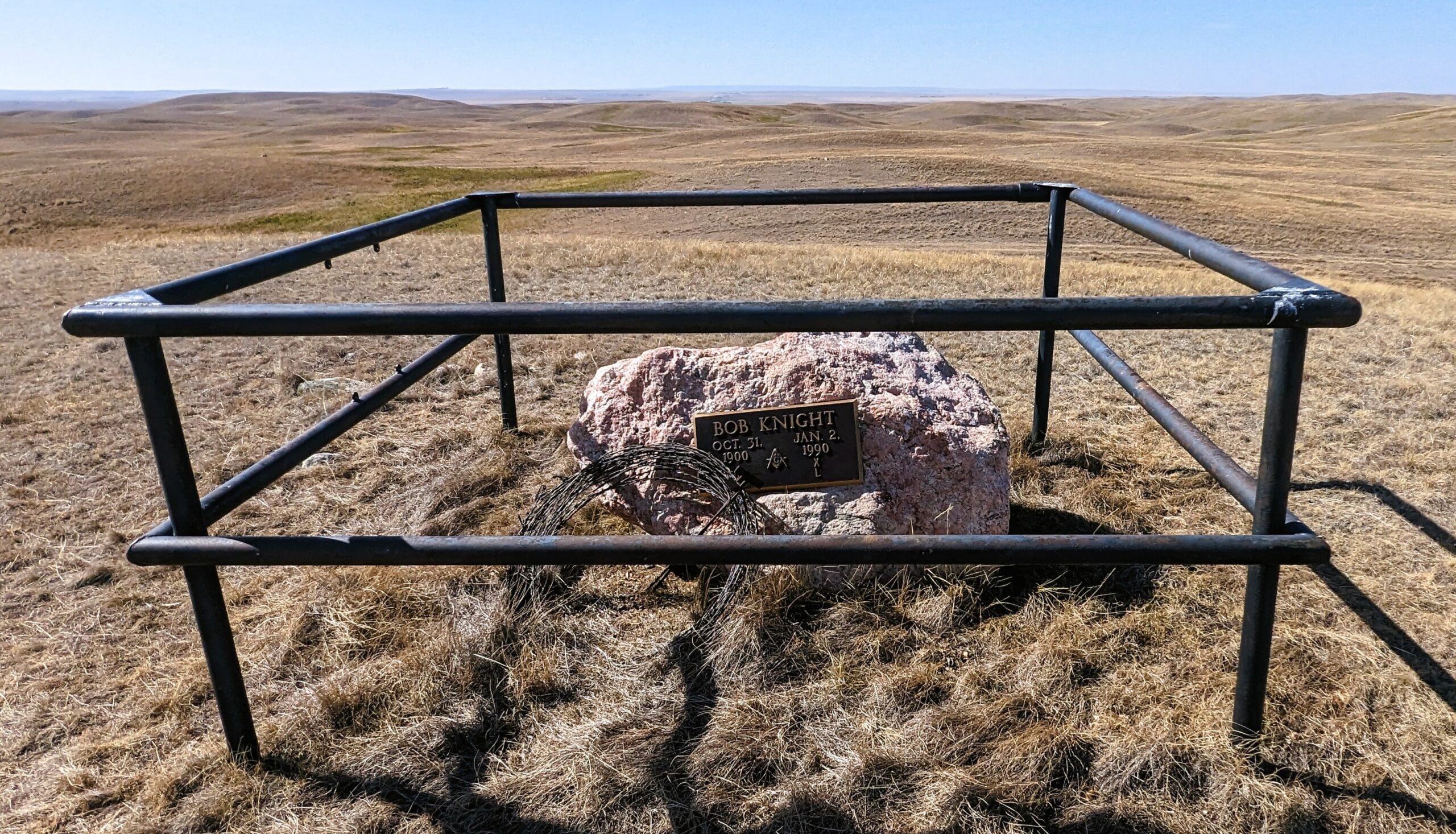
top of Coffin Handle Butte east of Milo AB
Nearest Populated Centre: Milo ,
Province: Alberta

Map Location

Latitude, Longitude
50.63555, -112.60434

Map Location

Search for:
RESET
Surname Given Name Born Died Age Photos Cemetery R Code

The 25 most common surnames found in this cemetery.

loader

The 25 most common given names found in this cemetery.

loader

Other Cemeteries

Manyberries Cemetery (Forty Mile County)

Highway 61 (Red Coat Trail) and Range Road 53b , Manyberries , Alberta

Alston Cemetery (Vulcan County)

Hwy 527 & Twp Rd 142; SW of Champion , SW of Champion , Alberta

Acme Church of God Cemetery (Kneehill County)

Twp Rd 292 between Rge Rds 264 & 263 , Acme , Alberta

Walker Cemetery (Cypress County)

Township Road 174 and Range Road 23 , Hilda , Alberta

Neuburg Church of God Cemetery (Cypress County)

Twp Rd 102 & Hwy 41 , Neuberg (south of Irvine) , Alberta

Leavitt Cemetery (Cardston County)

Range Road 265 N of Highway 5 , Leavitt , Alberta

Foremost Cemetery (Forty Mile County)

Township Road 61 and Range Road 115 , Foremost , Alberta

Gaetz Cemetery (Clearwater County)

Range Road 41 S of Township Road 380 , Condor , Alberta

Ferrybank Cemetery (Ponoka County)

Highway 795 and Range Road 251 , Ponoka , Alberta

Hainstock Cemetery (Mountain View County)

Highway 27; 5 km west of Olds , Olds , Alberta

Discover Alberta Ancestors