Courtesy of Medicine Hat and District Genealogical Society (MHDGS)

Deaths

Longevity

Address

Range Rd 62 north of Twp Road 22
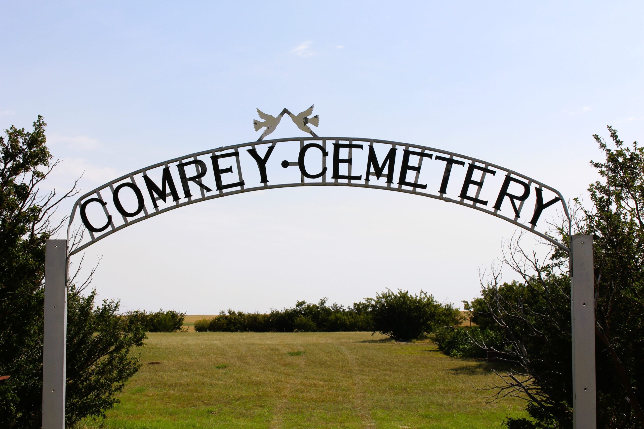
Nearest Populated Centre: Manyberries,
Province: Alberta

Map Location

Latitude, Longitude
49.12040, -110.71797

Map Location

Search for:
RESET
Surname Given Name Born Died Age Photo(s) Cemetery Obituary Narrative R Code

The 25 most common surnames found in this cemetery.

loader

The 25 most common given names found in this cemetery.

loader

Other Cemeteries

Fertile Plains Cemetery (Forty Mile County)

Highway 885, Township Road 85, Range Road 102 , Maleb, Bow Island area , Alberta

Pakowki Cemetery (Forty Mile County)

Township Road 52 and Range Road 73 , Orion , Alberta

Faith Union Cemetery (Forty Mile County)

Township Road 42 and Highway 885 , Etzikom , Alberta

Poplar Valley Cemetery (Wetaskiwin County)

462061 Range Road 43A , Winfield , Alberta

Mayton Cemetery (Mountain View County)

27359 Twp Rd 333 , Mayton , Alberta

Swalwell Cemetery (Kneehill County)

295037 Rge Rd 243 , Swalwell , Alberta

Will Cemetery (Cypress County)

Township Road 153 and Range Road 11 , Schuler , Alberta

Hutton-Pandora Cemetery (Special Area No. 2)

Township Road 242 E of Highway 36 , Hutton , Alberta

Evangelical Lutheran Church of Zion (Forty Mile County)

Township Road 62 and Range Road 55, east of Highway 889 , Manyberries , Alberta

Graburn United Church Cemetery (Cypress County)

Twp Rd 100 & Range Rd 12 (Graburn Road) , Walsh , Alberta

Discover Alberta Ancestors