2 Heart Mountain Drive

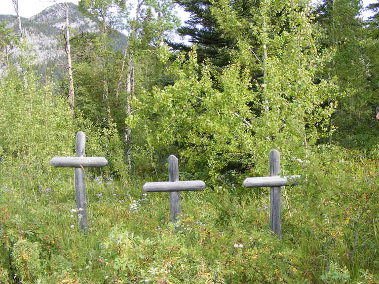
This mountainside cemetery is on Crown land in an unused parcel of the Lafarge Cement Plant quarry and is closed to the public for safety reasons.
Approximately 70 persons were buried in its grounds from 1906 to 1925 (two after it officially closed) with 55 identified with the final resting place. The cemetery closed down after 1925 because there was a suitable cemetery down the road in Canmore.
A memorial plaque next to the cemetery was installed in the 1980’s with the names of the people known to be in it. Since then, many new names were discovered through research over the years. Twenty-four names, including one marked as ‘Unknown’ were added along the borders on the snow-covered cemetery. Only two grave markers display a name, as writing on the wooden markers was lost to sight due to age and the elements. On the east side of the sloping cemetery there are numerous unmarked graves of Chinese workers from 1905 and later. Their identities and burial dates are unrecorded.
In December 2015, a second cemetery memorial plaque was installed in the Exshaw Pioneer Cemetery. The installation of the plaque is a fitting acknowledgment to Exshaw’s pioneers, said the MD of Bighorn’s Heritage Resource Committee chair (HRC). A bronzed marker with updated names of those buried in the Exshaw Pioneer Cemetery was unveiled in front of a small group in remembrance of the hamlet’s hidden history.
Address
2 Heart Mountain Drive
Nearest Populated Centre: Exshaw,
Province: Alberta
Map Location
Latitude, Longitude
51.06062, -115.1595
Map Location
| Surname | Given Name | Born | Died | Age | Photo(s) | Cemetery | Obituary | Narrative | R Code |
|---|---|---|---|---|---|---|---|---|---|
The 25 most common surnames found in this cemetery.

The 25 most common given names found in this cemetery.

