Courtesy of Medicine Hat and District Genealogical Society (MHDGS)

Deaths

Longevity

Address

Range Rd 62 north of Twp Road 22
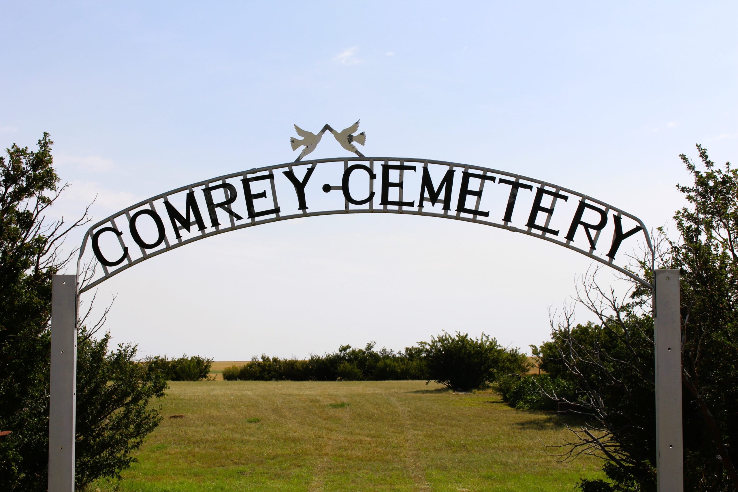
Nearest Populated Centre: Manyberries,
Province: Alberta

Map Location

Latitude, Longitude
49.12040, -110.71797

Map Location

Search for:
RESET
Surname Given Name Born Died Age Photos Cemetery R Code

The 25 most common surnames found in this cemetery.

loader

The 25 most common given names found in this cemetery.

loader

Other Cemeteries

Queen's Park Cemetery & Mausoleum (Calgary)

3219 4 St NW , Calgary , Alberta

Rosemary Cemetery (Newell County)

Railway Avenue , Rosemary , Alberta

Maywood Cemetery (Wetaskiwin County)

55021A Twp Rd 460A , Winfield , Alberta

Etzikom Cemetery (Forty Mile County)

Township Road 64, Range Road 91, Highway 885 , Etzikom , Alberta

Andrew Beierbach Homestead Cemetery (Cypress County)

Twp Rd 184 & Rge Rd 31 , Hilda , Alberta

Coffin Handle Butte Cemetery (Vulcan County)

top of Coffin Handle Butte east of Milo AB , Milo , Alberta

Carmangay Cemetery (Vulcan County)

Township Road 235 and Range Road 240 , Carmangay , Alberta

Wisdom Bethel Evangelical Cemetery (Cypress County)

Range Rd 60 & Twp Rd 90 , Wisdom , Alberta

Cassils Pioneer Cemetery (Newell County)

Range Road 154 and Township Road 190 , Brooks , Alberta

Bellevue Union Cemetery (Crowsnest Pass)

Larch Ave , Bellevue , Alberta

Discover Alberta Ancestors